How to Access and Use Precipitation Maps in Your Vehicle's Navigation System
Understanding current and forecasted weather conditions, including precipitation, is crucial for safe driving. Many modern vehicles are equipped with navigation systems that provide real-time weather updates, including precipitation maps. Here's how you can access and utilize these features:
1. Accessing Weather Information Through Your Vehicle's Navigation System
Most contemporary vehicles offer integrated navigation systems that display weather information, including precipitation maps. To access these features:
-
Locate the Weather App: On your vehicle's infotainment system, navigate to the 'Apps' or 'Weather' section. This is typically accessible via the main menu or home screen.
-
Launch the Weather App: Tap on the weather application to open it.
-
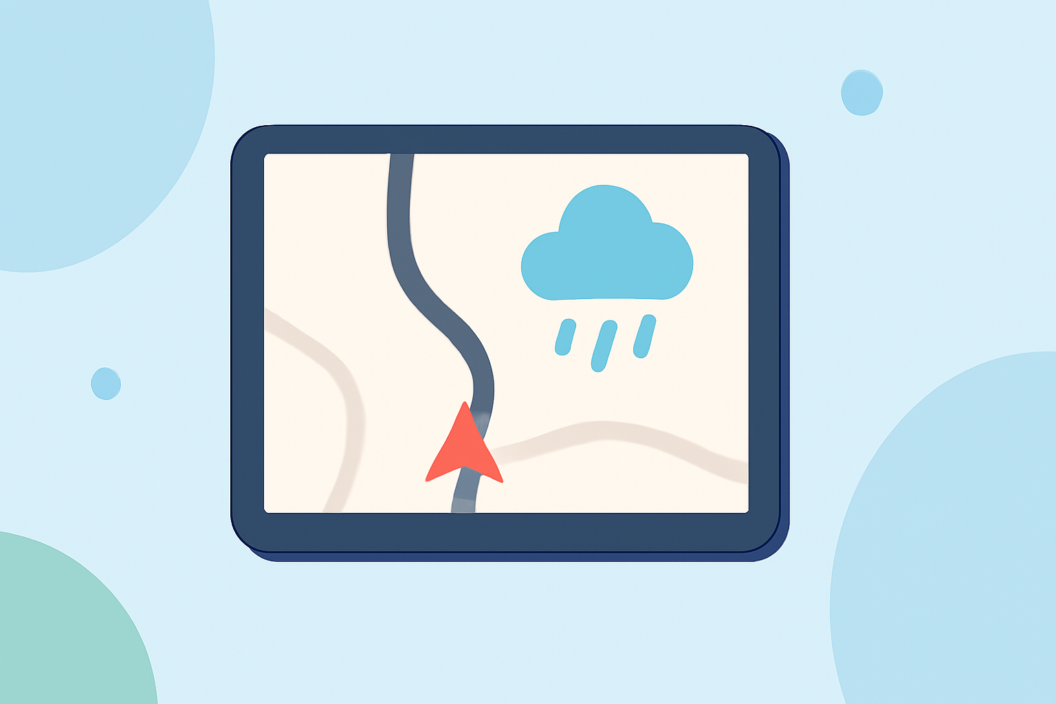
View Precipitation Maps: Within the weather app, select the 'Radar' or 'Precipitation' option to view real-time maps of rainfall, snow, or other forms of precipitation in your area.
2. Utilizing In-Vehicle Navigation Systems for Weather Updates
Some vehicles come equipped with advanced navigation systems that provide detailed weather information, including precipitation forecasts. For example:
-
Maps+ Navigation System: Certain vehicles feature the Maps+ navigation system, which offers personalized and up-to-date information, including weather forecasts and precipitation maps. To use this feature:
-
Access Maps+: From your vehicle's infotainment system, select the 'Maps+' app from the main menu.
-
View Weather Information: Within the Maps+ app, navigate to the weather section to view current conditions, forecasts, and precipitation maps for your location.
3. Interpreting Precipitation Maps
Precipitation maps display areas of rainfall, snow, or other forms of precipitation using color-coded overlays. To interpret these maps:
-
Understand the Color Codes: Typically, different colors represent varying intensities of precipitation. For instance, light blue may indicate light rain, while dark red could signify heavy rainfall.
-
Observe Movement and Coverage: Pay attention to the movement of precipitation patterns to anticipate upcoming weather conditions along your route.
4. Staying Updated and Safe
Regularly checking precipitation maps can help you plan your route and make informed decisions about travel. Always ensure your vehicle's navigation system is updated to provide the most accurate and current weather information.
By effectively utilizing your vehicle's navigation system to access precipitation maps, you can enhance your driving experience and stay informed about weather conditions on the road.