Accessing Professional Doppler Shear Maps on Your Tablet
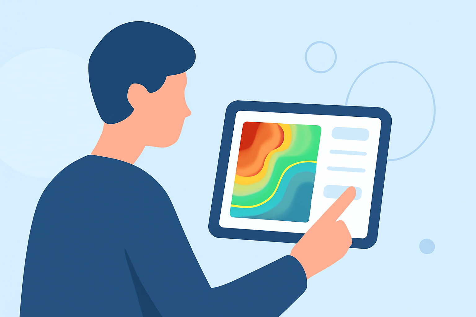
Doppler shear maps are essential tools for meteorologists, providing insights into wind patterns and storm structures. Accessing these maps on a tablet offers flexibility and convenience for both professionals and enthusiasts.
What Are Doppler Shear Maps?
Doppler shear maps display variations in wind speed and direction within a storm, aiding in the detection of rotation and potential severe weather events. They are crucial for understanding storm dynamics and forecasting severe weather.
How Can I Access Doppler Shear Maps on My Tablet?
Several applications and platforms provide Doppler shear maps compatible with tablet devices:
-
Weather Pulse Maps: This platform offers real-time and forecast weather displays, including Doppler shear maps. It's accessible via modern web browsers on tablets without the need for installation. (weatherpulse.com)
-
Vortix Doppler Weather Pro: An iOS application that provides advanced Doppler weather radar with satellite imagery, lightning and tornado tracking, and detailed weather alerts. It's designed for iPad and offers high-resolution Doppler radar and satellite imagery. (apps.apple.com)
-
Doppler Storm Radar - eMap HDF: Available for Android devices, this app offers high-resolution Doppler storm data, weather maps, lightning strikes, and tide forecasts. It includes layers provided by the National Weather Service (NWS) and NOAA. (apprecs.com)
What Features Should I Look for in a Doppler Shear Map Application?
When selecting an application to view Doppler shear maps on your tablet, consider the following features:
-
Real-Time Data: Ensure the app provides up-to-date information for accurate analysis.
-
Interactive Maps: Look for applications that offer interactive maps for detailed examination of storm structures.
-
Customizable Overlays: The ability to overlay various weather data, such as lightning strikes or rainfall, can enhance your analysis.
-
User-Friendly Interface: A clean and intuitive interface will make navigation and interpretation easier.
How Do I Interpret Doppler Shear Maps?
Interpreting Doppler shear maps involves analyzing wind patterns to identify areas of rotation, which can indicate severe weather phenomena like tornadoes. Familiarize yourself with the color coding and symbols used in the application to accurately assess the data.
Can I Use Doppler Shear Maps for Personal Weather Tracking?
Yes, accessing Doppler shear maps on your tablet allows for personal weather tracking, especially during severe weather events. However, it's important to rely on official weather services for critical decisions, as personal interpretations may not always be accurate.
By utilizing these tools, you can enhance your understanding of weather patterns and stay informed about potential severe weather events.