Mastering Animated Weather Radar: A Beginner's Guide
Animated weather radar is a powerful tool that allows you to visualize precipitation patterns, track storm movements, and make informed decisions about your daily activities. For beginners, understanding how to interpret these animations is essential for effective use.
What Is Animated Weather Radar?
Animated weather radar displays real-time data on precipitation intensity and movement. By observing these animations, you can see where rain, snow, or storms are occurring and how they are progressing over time. This dynamic visualization helps in planning outdoor activities, travel, and staying prepared for severe weather events.
How Does Animated Weather Radar Work?
Weather radar systems emit microwave pulses that bounce off precipitation particles like raindrops or snowflakes. The radar measures the strength and time it takes for the returned signal to return, creating a map of precipitation intensity. Doppler radar adds the capability to detect the motion of precipitation particles, allowing for the observation of storm movement and rotation. (weather.gov)
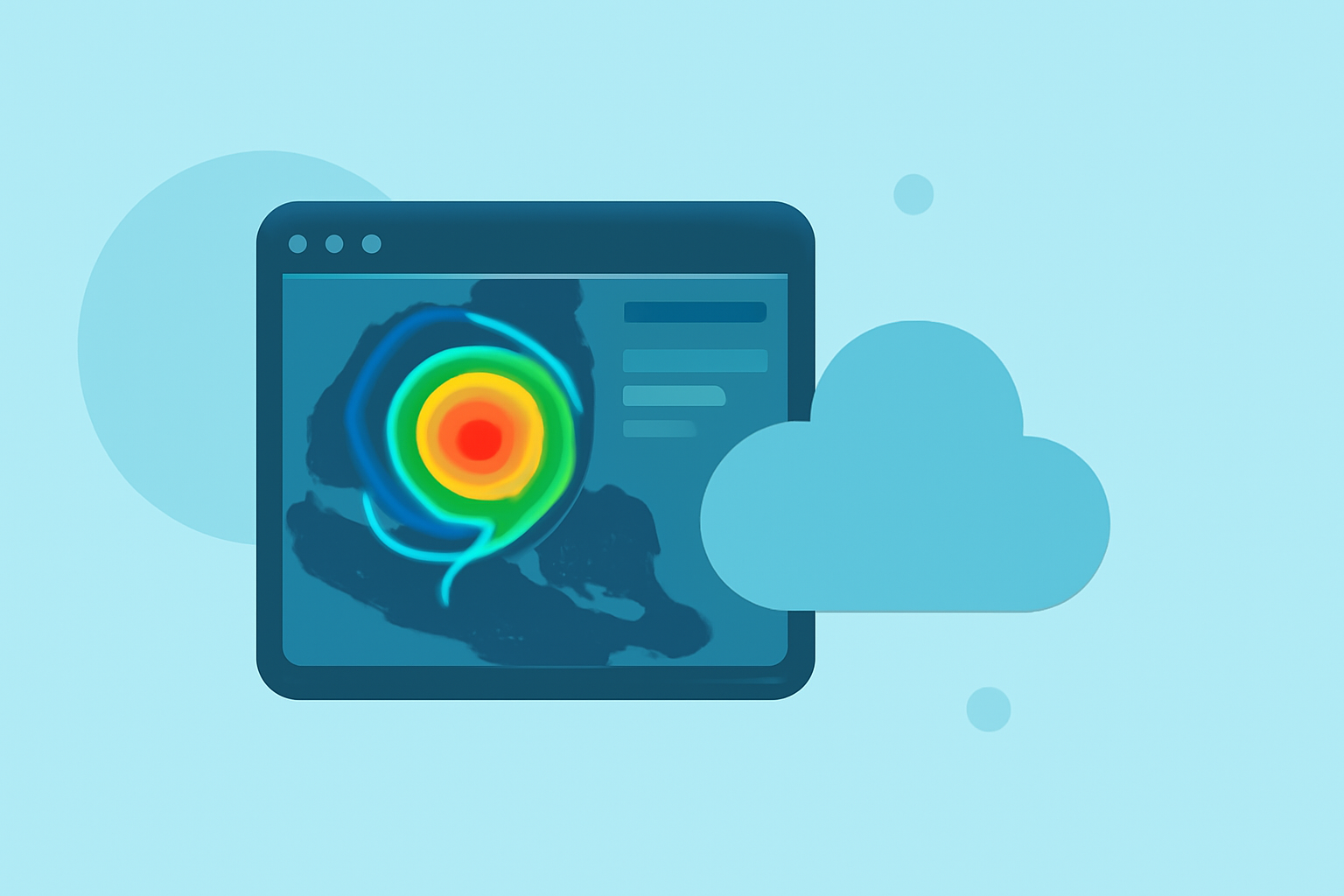
Interpreting Animated Radar Maps
When viewing an animated radar map, pay attention to the following elements:
-
Color Coding: Colors represent different precipitation intensities. For example, green may indicate light rain, yellow and orange moderate to heavy rain, and red very heavy rain or hail. Blue and teal shades typically represent snow or mixed precipitation. (teksure.com)
-
Movement Direction: Observe the direction in which precipitation is moving to anticipate its arrival or departure from your area.
-
Storm Development: Watch for changes in storm size and intensity to assess potential impacts.
Practical Applications of Animated Weather Radar
Utilizing animated weather radar can assist in various scenarios:
-
Outdoor Planning: Determine the best times for outdoor activities by observing when precipitation is expected to occur.
-
Travel Decisions: Assess weather conditions along your travel route to avoid hazardous conditions.
-
Severe Weather Preparedness: Stay informed about approaching storms or severe weather events to take necessary precautions.
Choosing the Right Animated Weather Radar Tool
Selecting a user-friendly and reliable animated weather radar tool is crucial. Look for features such as real-time updates, clear color coding, and the ability to animate radar data over time. Ensure the tool provides accurate and timely information relevant to your location.
Conclusion
Animated weather radar is an invaluable resource for monitoring precipitation and storm activity. By understanding how to interpret these animations, you can make informed decisions to protect yourself and plan your activities effectively.
Highlights:
- Interpreting Local Weather Radar Maps in Motion for Planning - Simpli.com, Published on Thursday, March 19
- Interpreting Animated Doppler Radar Maps for Short-Term Plans - Ask.com, Published on Tuesday, March 17
- Using and Understanding Doppler Radar