
Mastering Animated Weather Radar: A Comprehensive Guide
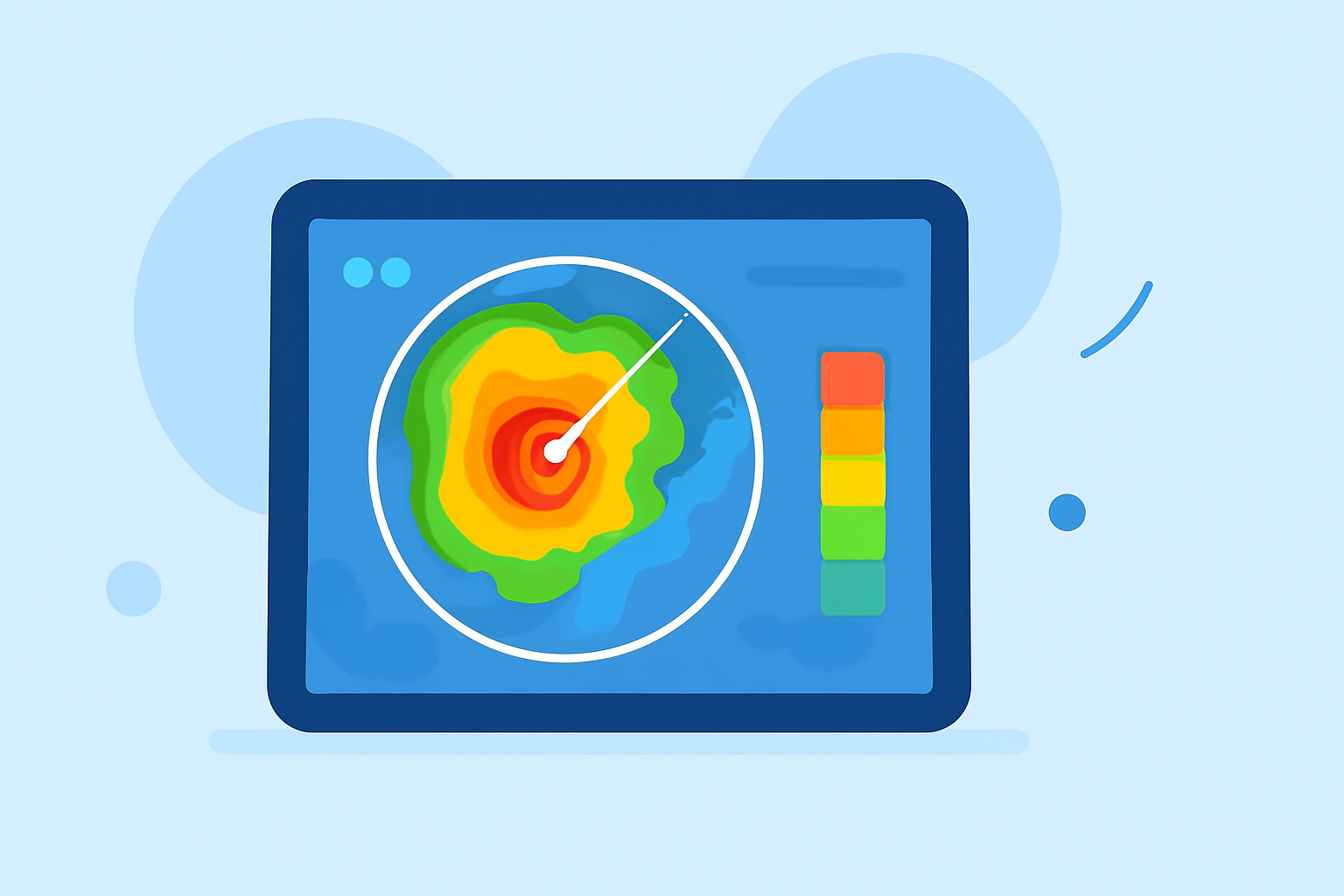
Animated weather radar is a powerful tool that provides real-time visualizations of precipitation patterns, storm movements, and atmospheric conditions. By understanding how to interpret these dynamic maps, you can make informed decisions about travel, outdoor events, and daily planning.
What Is Animated Weather Radar?
Animated weather radar displays time-sequenced radar returns across a mapped area, revealing precipitation intensity, motion, and basic storm structure. These displays combine reflectivity (how much energy is returned), velocity products (motion toward or away from the radar), and derived layers such as composite reflectivity or hydrometeor type. For people planning activities within the next few hours, animated radar helps identify approaching precipitation, storm motion, and the relative intensity of cells so decisions can be timed with situational awareness. (ask.com)
How Does Animated Weather Radar Work?
Weather radars emit pulses of microwave energy that scatter upon encountering particles like raindrops or snowflakes. The radar measures the strength and time it takes for the energy to return, creating a map of precipitation intensity and movement. Doppler radar adds the capability to detect the motion of rain droplets, allowing for the analysis of storm structure and potential severe weather. (weather.gov)
Key Features of Animated Weather Radar
- Reflectivity: Indicates precipitation intensity.
- Velocity: Shows wind motion toward or away from the radar.
- Composite Reflectivity: Represents the maximum reflectivity value over a vertical column.
- Hydrometeor Classification: Helps identify precipitation types like rain, snow, or hail.
Interpreting Animated Weather Radar Maps
To effectively use animated radar maps, consider the following steps:
- Identify Precipitation Intensity: Use color gradients to determine the strength of precipitation.
- Assess Storm Movement: Observe the direction and speed of storm systems.
- Monitor Storm Development: Watch for changes in storm size and intensity over time.
By analyzing these elements, you can anticipate weather changes and plan accordingly. (simpli.com)
Practical Applications of Animated Weather Radar
- Travel Planning: Determine the best times to travel by avoiding areas with heavy precipitation.
- Outdoor Events: Schedule activities during periods of clear weather.
- Emergency Preparedness: Stay informed about severe weather to take timely protective actions.
Limitations and Considerations
While animated weather radar is a valuable tool, it's important to be aware of its limitations:
- Update Frequency: Radar data updates vary, and there may be a delay between real-time conditions and radar imagery.
- Coverage Gaps: Certain areas, especially remote regions, may have limited radar coverage.
- Interpretation Challenges: Accurately reading radar data requires experience and understanding of meteorological principles.
By recognizing these factors, you can use animated weather radar more effectively and make better-informed decisions.
Incorporating animated weather radar into your routine can enhance your ability to respond to changing weather conditions, ensuring safety and optimal planning for various activities.
Highlights:
- Interpreting Local Weather Radar Maps in Motion for Planning - Simpli.com, Published on Thursday, March 19
- Using and Understanding Doppler Radar
- Interpreting Animated Doppler Radar Maps for Short-Term Plans - Ask.com, Published on Tuesday, March 17