Mastering Animated Weather Radar: A Non-Technical Guide
Animated weather radar provides a dynamic view of precipitation patterns, helping you monitor storms and plan activities accordingly. For non-technical users, understanding and utilizing this tool can be straightforward with the right approach.
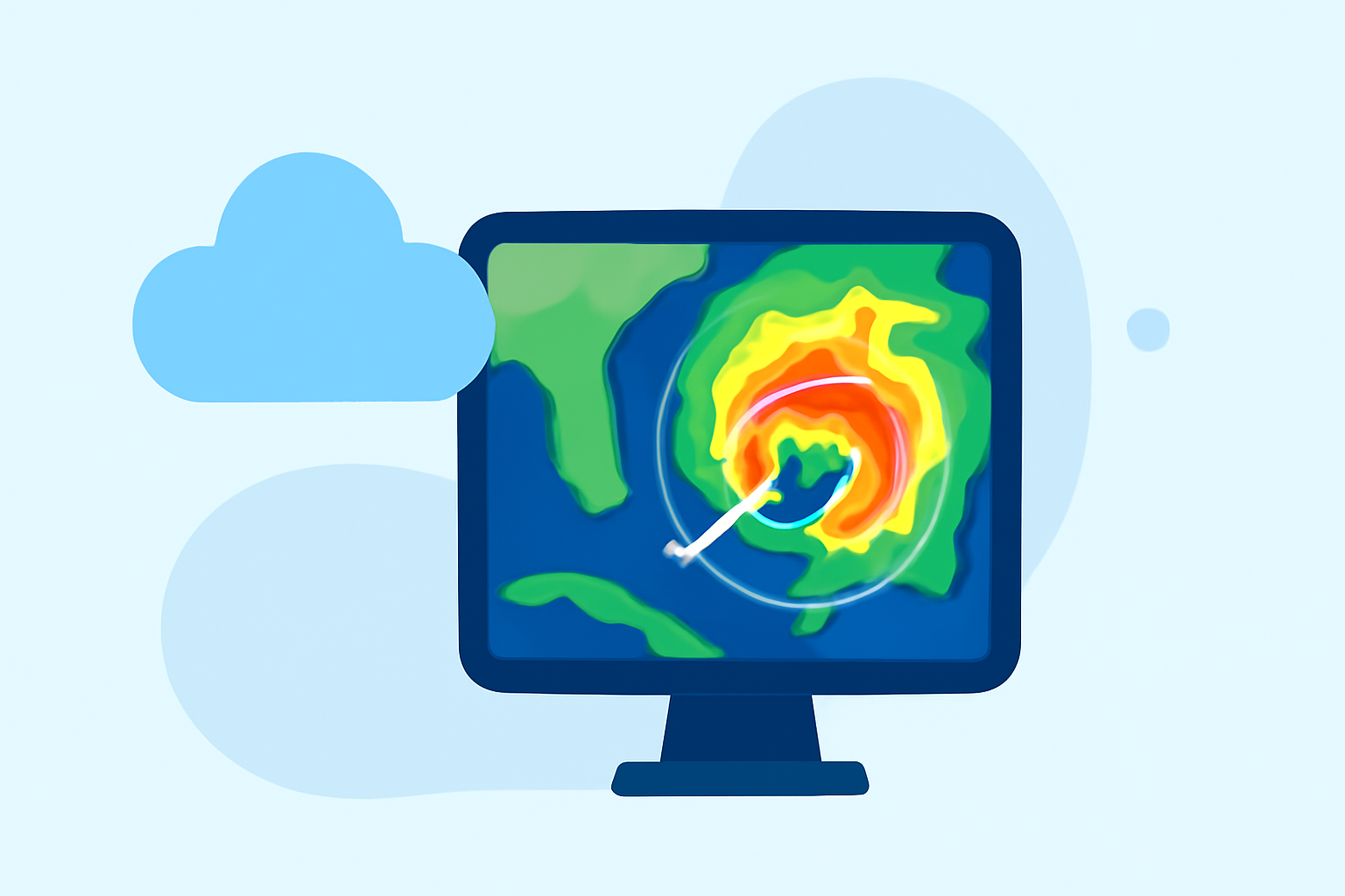
What Is Animated Weather Radar?
Animated weather radar displays a sequence of radar images over time, illustrating the movement and intensity of precipitation. This animation helps visualize how storms develop and move, offering insights into potential weather impacts.
How Does Animated Weather Radar Work?
Weather radar systems emit microwave pulses that bounce off precipitation particles like rain, snow, or hail. The returned signals are analyzed to determine the location, intensity, and movement of precipitation. By compiling these data points into a time-sequenced animation, you can observe weather patterns in motion. (weather.gov)
Why Use Animated Weather Radar?
Utilizing animated radar allows you to:
- Track Storms: Monitor the progression of storms to anticipate their impact.
- Plan Activities: Make informed decisions about outdoor events based on real-time weather data.
- Enhance Safety: Stay alert to severe weather developments, enabling timely precautions.
How to Access Animated Weather Radar?
Several platforms offer animated weather radar services:
- Mobile Applications: Many weather apps provide animated radar features, allowing you to view precipitation in motion on your smartphone.
- Web-Based Tools: Online platforms offer interactive radar maps that can be accessed through your browser.
- Integrated Displays: Some digital signage solutions enable the addition of animated weather radar maps to your displays. (dakboard.freshdesk.com)
How to Interpret Animated Weather Radar?
When viewing animated radar:
- Observe Movement: Watch how precipitation moves over time to understand storm trajectories.
- Assess Intensity: Note the color gradients to gauge the severity of precipitation.
- Identify Trends: Look for patterns in movement and intensity to predict future weather developments.
How Can Clime Enhance Your Weather Monitoring?
Clime offers an intuitive platform for animated weather radar, designed with non-technical users in mind. Its user-friendly interface allows you to:
- View Real-Time Radar: Access up-to-date animated radar images for your location.
- Customize Layers: Adjust settings to display specific weather data relevant to your needs.
- Receive Alerts: Get notifications about severe weather conditions in your area.
By leveraging Clime's features, you can effectively monitor weather patterns and make informed decisions without the need for technical expertise.
Incorporating animated weather radar into your routine provides a clear and dynamic understanding of weather conditions, empowering you to plan and respond proactively.