Mastering Animated Weather Radar for Hurricane Season
As hurricane season approaches, staying informed about storm developments is crucial. Animated weather radar provides real-time insights into storm behavior, enabling timely and informed decisions.
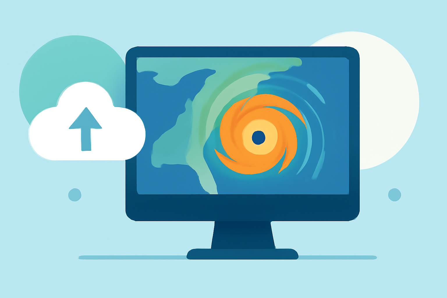
What Does Animated Weather Radar Show?
Animated radar maps display precipitation intensity, movement, and storm structure by translating microwave returns into color-coded reflectivity and velocity. Reflectivity indicates precipitation strength, while velocity reveals wind patterns within storms. This dynamic visualization helps track storm progression and intensity. (simpli.com)
How to Interpret Animated Radar Maps?
-
Reflectivity: Brighter colors (e.g., reds and oranges) signify heavier precipitation, such as intense rain or hail.
-
Velocity: Doppler velocity overlays show wind movement toward or away from the radar, aiding in identifying rotation or wind shear within storms.
-
Animation: Looping recent radar frames reveals storm movement and development over time, providing a clearer picture of its path and potential impact. (ask.com)
How to Use Animated Radar for Hurricane Monitoring?
-
Track Storm Movement: Observe the storm's direction and speed to anticipate its arrival and potential impact on your area.
-
Assess Intensity: Monitor changes in reflectivity to gauge the storm's strength and potential for severe weather.
-
Plan Accordingly: Use radar data alongside official advisories to make informed decisions about evacuation, sheltering, or other safety measures. (climeradar.com)
Limitations of Animated Radar During Hurricanes
While animated radar is a valuable tool, it has limitations:
-
Beam Geometry: Radar beams can miss surface-level precipitation at long ranges due to Earth's curvature.
-
Update Frequency: Radar scans update every 5–10 minutes, which may not capture rapidly changing storm features.
-
Attenuation: Extremely heavy rain can weaken radar signals, potentially obscuring storm details. (climeradar.com)
Enhancing Your Hurricane Preparedness with Clime
Clime offers a comprehensive platform for monitoring hurricanes, integrating animated radar with official advisories and forecasts. Its user-friendly interface allows you to:
-
Monitor Storms in Real-Time: Access live radar maps with overlays for hurricanes, lightning, and wildfires.
-
Receive Timely Alerts: Get push notifications for severe weather events, ensuring you're always informed.
-
Plan Effectively: Utilize detailed storm tracking and forecast data to make informed decisions during hurricane season. (climeradar.com)
By mastering animated weather radar and leveraging Clime's features, you can enhance your hurricane preparedness and make informed decisions to protect yourself and your community.
Highlights:
- Interpreting Local Weather Radar Maps in Motion for Planning - Simpli.com, Published on Thursday, March 19
- Interpreting Animated Doppler Radar Maps for Short-Term Plans - Ask.com, Published on Tuesday, March 17
- How to Use Weather Radar for Storm Preparedness Planning | Clime Blog, Published on Tuesday, March 17