Mastering Animated Weather Radar on Your iPhone
Understanding animated weather radar on your iPhone can significantly enhance your ability to monitor precipitation patterns and make informed decisions about your daily activities. Here's how you can access and interpret this feature:
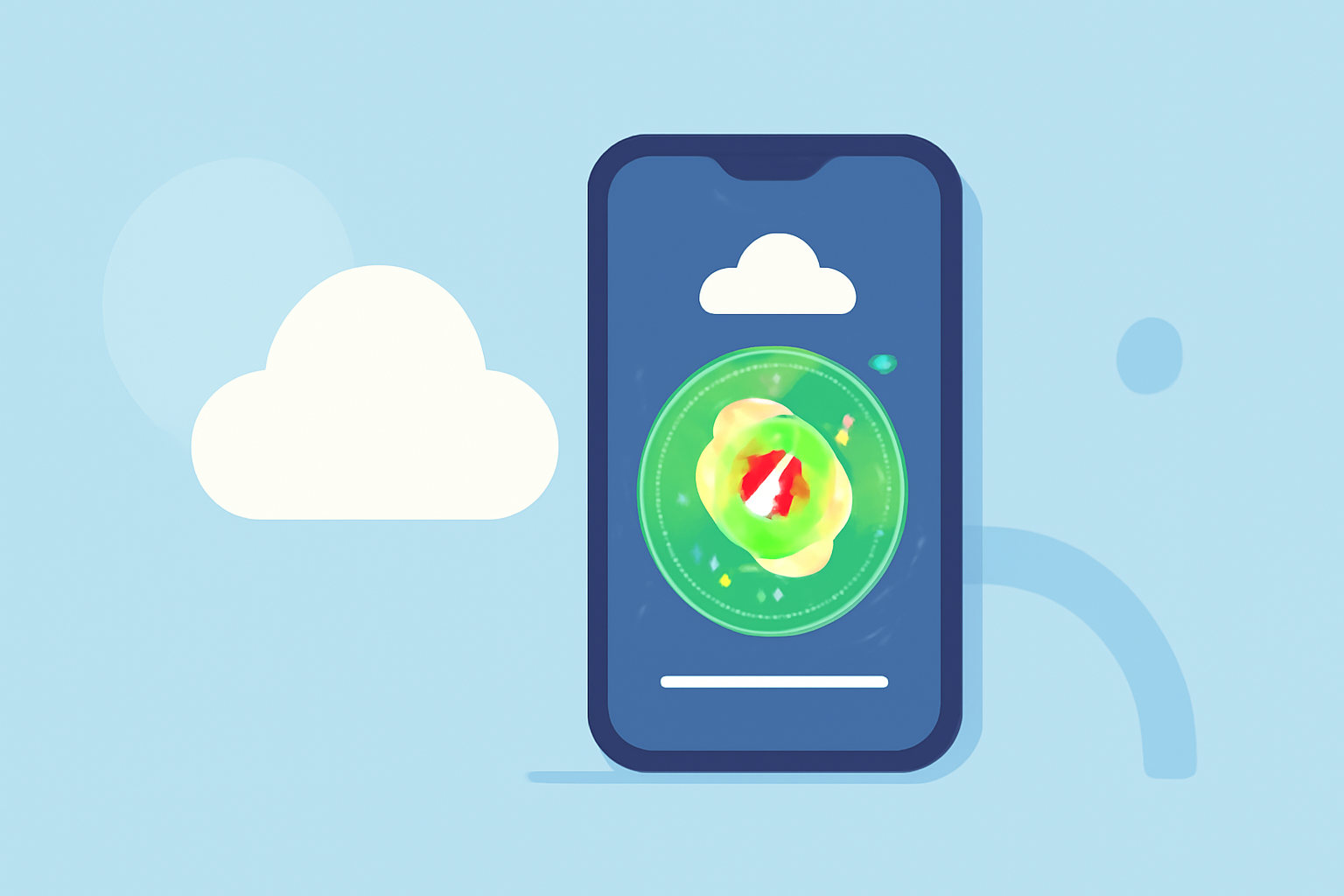
How Can I Access Animated Weather Radar on My iPhone?
The built-in Weather app on your iPhone offers a precipitation map that displays animated radar imagery. To access it:
- Open the Weather App: Launch the Weather app on your iPhone.
- Select a Location: Choose the location you're interested in.
- View the Map: Tap the map icon at the bottom left corner to view the full-screen map.
- Access Precipitation Radar: Tap the stacked boxes icon in the top right corner and select "Precipitation" from the menu.
This will display an animated radar map showing forecasted precipitation for the next hour, with color-coded areas indicating the intensity of rainfall or snowfall. (support.apple.com)
What Are the Key Features of the Precipitation Map?
- Color-Coded Intensity: Different colors represent varying levels of precipitation intensity, helping you quickly assess the severity of incoming weather.
- Timeline: A timeline at the bottom indicates the progression of precipitation over time, allowing you to anticipate when and where rain or snow will occur.
- Zoom and Pan: You can zoom in and out and pan across the map to focus on specific areas of interest.
How Do I Interpret the Radar Map?
- Precipitation Areas: The moving colored areas on the map indicate where precipitation is expected.
- Legend: The legend in the top left corner explains what the different colors on the radar mean, aiding in accurate interpretation.
- Timeline: The black bar at the bottom indicates the time, helping you understand when precipitation is expected to occur.
For a visual guide on using the precipitation map, you can watch this tutorial:
How to Find and Use iPhone Precipitation Map
Are There Additional Features for Enhanced Weather Monitoring?
Yes, there are third-party apps available that offer advanced features for weather monitoring:
- High-Resolution Radar: Some apps provide high-definition radar imagery, offering detailed views of precipitation patterns.
- Future Radar: Certain applications offer forecasted radar images, allowing you to see predicted precipitation up to an hour in advance.
- Storm Tracking: Advanced storm tracking features can provide detailed analysis of impending severe weather, including storm arrival time, strength rating, and components like wind, hail, lightning, and tornadoes.
These features can enhance your ability to monitor and prepare for changing weather conditions.
By utilizing the built-in Weather app and exploring additional features through third-party applications, you can effectively monitor animated weather radar on your iPhone and stay informed about precipitation patterns in your area.