Avoiding Common Mistakes with Animated Weather Radar in 2026
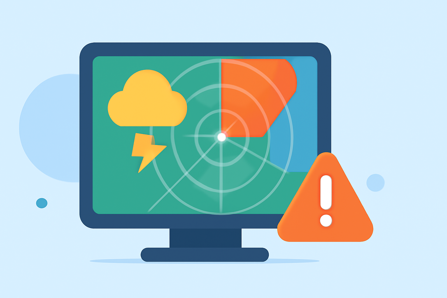
Animated weather radar is a vital tool for monitoring precipitation and storm movements, providing real-time insights into weather patterns. However, misinterpretations can lead to poor decision-making. To ensure accurate use of animated weather radar in 2026, consider the following guidelines:
1. Recognize and Account for Ground Clutter
Ground clutter refers to false echoes on radar images caused by the radar beam reflecting off objects like buildings, trees, or terrain. These non-weather returns can mimic precipitation, leading to misinterpretations. Meteorologists are trained to identify and filter out ground clutter, especially during calm weather when the radar is more likely to pick up these non-weather targets. (weather.com)
2. Understand Anomalous Propagation (AP)
Anomalous Propagation occurs when atmospheric conditions cause the radar beam to bend, leading to false echoes. This phenomenon can result in misleading radar images, especially during temperature inversions. It's essential to be aware of AP to avoid misinterpreting radar data. (prod-01-alb-www-noaa.woc.noaa.gov)
3. Be Aware of Beam Obstructions
Tall structures such as buildings or mountains can obstruct the radar beam, resulting in incomplete coverage in certain areas. Neglecting these obstructions can lead to inaccurate observations of precipitation patterns. (stvincenttimes.com)
4. Avoid Overreliance on Single Radar Sources
Relying solely on a single radar site without checking mosaics can misrepresent coverage. It's advisable to cross-reference radar data with local observations and official watches/warnings to ensure accuracy. (reference.com)
5. Interpret Reflectivity and Velocity Data Carefully
Reflectivity indicates precipitation intensity, while velocity data shows wind movement. Misreading these can lead to incorrect conclusions about storm severity and movement. Combining radar data with other observations mitigates these constraints. (simpli.com)
6. Account for Radar Data Latency
Radar data may have a slight delay due to processing and transmission times. This latency can affect the timeliness of the information, so it's important to consider when making decisions based on radar data. (reference.com)
7. Regularly Maintain and Calibrate Radar Equipment
Regular maintenance and calibration of radar equipment are crucial to ensure accurate data collection. Neglecting these practices can introduce inaccuracies in data readings. (stvincenttimes.com)
8. Stay Updated with Technological Advances
Radar technology is continually evolving. Staying informed about the latest developments can enhance the effectiveness of weather monitoring and interpretation.
By adhering to these guidelines, you can enhance your understanding and interpretation of animated weather radar, leading to more informed decisions and better preparedness for weather events in 2026.
Highlights:
- Interpreting Local Weather Radar Maps in Motion for Planning - Simpli.com, Published on Thursday, March 19
- Interpreting Animated Doppler Radar Maps for Short-Term Plans - Ask.com, Published on Tuesday, March 17
- Aviation Weather Radar Interpretation - Complete Pilot Guide | MetarCentral, Published on Thursday, May 21