Mastering Animated Weather Radar for Outdoor Adventures
Animated weather radar is a vital tool for outdoor enthusiasts, offering real-time insights into precipitation patterns, storm movements, and potential hazards. By understanding how to interpret these dynamic maps, you can make informed decisions to enhance your outdoor experiences.
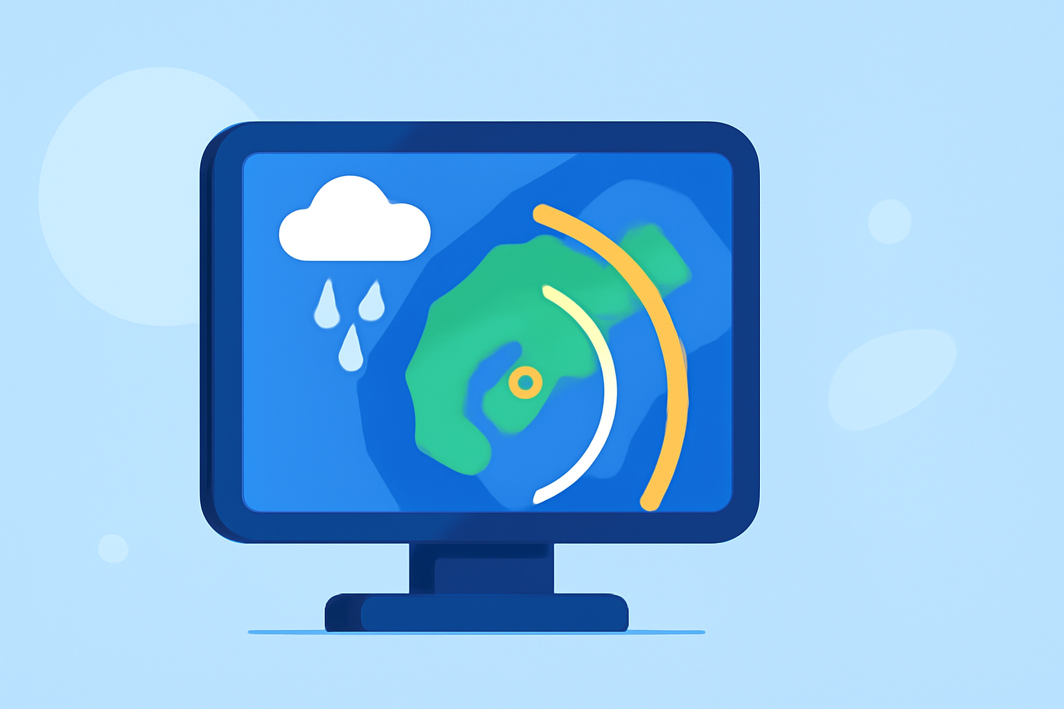
What Does Animated Weather Radar Show?
Animated radar maps display time-sequenced images that reveal precipitation intensity, movement, and storm development. They combine reflectivity (signal strength) and velocity (motion toward or away from the radar) to provide a comprehensive view of weather conditions. This information is crucial for assessing where rain, snow, or hail is occurring and how it is evolving over time. (ask.com)
How to Read Animated Radar Maps
-
Understand the Color Scale: Colors on radar maps represent different levels of precipitation intensity. Typically, green indicates light rain, yellow and orange signify moderate rain, and red and purple denote heavy rain or hail. Familiarizing yourself with the color legend helps in quickly assessing the severity of weather conditions. (outsideonline.com)
-
Observe Movement and Direction: Animated loops show how precipitation moves over time. By watching the direction and speed of storm cells, you can predict when and where they might impact your location. This is particularly useful for planning activities and ensuring safety. (ask.com)
-
Identify Storm Features: Look for specific patterns such as hook echoes, which can indicate tornadoes, or bow echoes, which may suggest damaging winds. Recognizing these features allows for timely precautions. (outsideonline.com)
Practical Tips for Outdoor Planning
-
Check Local Radar Before Heading Out: Always review the latest radar images to understand current conditions and anticipate any adverse weather. (weather.com)
-
Use Radar in Conjunction with Forecasts: While radar provides real-time data, combining it with weather forecasts offers a more comprehensive picture of expected conditions.
-
Stay Updated: Weather conditions can change rapidly. Regularly updating your information ensures you remain prepared for any sudden shifts.
Leveraging Clime's Advanced Radar Features
Clime offers a sophisticated radar system that provides high-resolution, animated weather maps tailored for outdoor enthusiasts. Its user-friendly interface allows for easy interpretation of complex data, enabling you to make informed decisions about your activities. Features include customizable overlays, real-time updates, and detailed storm tracking, all designed to enhance your outdoor planning and safety.
By mastering the use of animated weather radar, you can significantly improve your preparedness and enjoyment during outdoor adventures. Understanding and utilizing these tools empowers you to anticipate weather changes and make proactive decisions, ensuring a safer and more enjoyable experience.