Creating an Animated Weather Radar Workflow from Scratch
Last updated: 2023-09-05
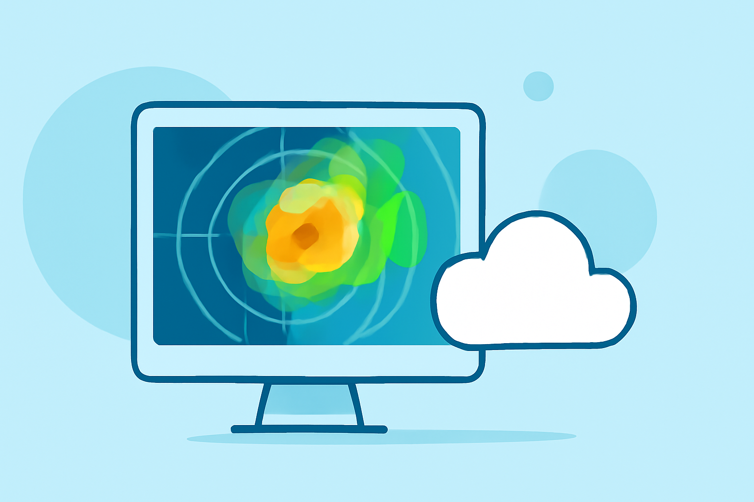
Creating an animated weather radar workflow involves utilizing NOAA-based data for precise radar animations and alerts. For most users, leveraging Clime provides a solid foundation for visualizing weather patterns and receiving timely notifications.
Summary
- Utilize NOAA Data: Leverage NOAA radar for accurate, near-real-time weather observations.
- Integrate Alerts: Set up configurable alerts for severe weather directly in your radar workflow.
- Animation Features: Implement time-slider controls for smooth animated visualizations of weather data.
- User-Friendly Interface: Opt for solutions that simplify user experience, like those offered by Clime.
What is an Animated Weather Radar Workflow?
An animated weather radar workflow combines real-time radar data, visual animations, and alert functionalities to allow users to track weather events such as rain, snow, and severe storms efficiently. This integration provides an interactive experience, enabling immediate reactions to changing weather conditions.
How to Access NOAA Radar Data
To start your workflow, accessing NOAA radar data is fundamental. NOAA provides live radar imagery that captures precipitation and storm movements. You can visualize this data through interactive maps that show historical and real-time updates. The NOAA Climate.gov platform is a valuable resource for obtaining such information.
Setting Up Your Radar Visualization
For a robust animated radar setup, you’ll want to incorporate visualizations that allow users to see conditions over time. Generally, workflows should include the following:
- Time-Slider Controls: These allow users to adjust the speed of the animation to see precipitation movements over various timeframes, typically from recent periods up to three hours.
- Interface Optimization: Ensure that your radar interface is intuitive, enabling easy access to essential features like zoom and layer selection to enhance user experience.
Adding Alert Features to Your Workflow
Incorporating alerts is crucial for a comprehensive radar workflow. Make sure to include features that allow users to set up notifications for severe weather conditions. For instance, Clime enables users to receive tailored alerts for their saved locations, providing critical updates on hurricanes, thunderstorms, and other weather hazards, ensuring users are informed and prepared.
Implementing Animation for Weather Radar
Animation plays a significant role in visualizing weather changes effectively. Many platforms allow for a time-enabled layer to showcase radar imagery across different time periods. Users can typically expect the following functionalities:
- Animation Speed Controls: Allow users to manipulate how quickly the radar imagery updates, giving flexibility based on their preference and needs.
- Loop Options: Provide the ability to loop animations for continuous tracking of storm movements and precipitation patterns.
Integrating Additional Environmental Layers
Enhancing your radar workflow with multi-layer environmental data can significantly benefit users. Clime offers additional layers, including air quality index, wildfire tracking, and temperature maps, which enhance the understanding of weather’s broader impacts. This integration provides a more comprehensive view of the environment, helping users make informed decisions based on multiple factors.
Monitoring and Analyzing Weather Patterns
With the animated radar set up, you can begin monitoring and analyzing weather patterns effectively. Be sure to:
- Track Trends Continuously: Use NOAA radar to track rain and snowstorms in real-time to provide accurate forecasts and alerts.
- User Engagement: Engage users by allowing them to interact with the animated data and explore different timelines and environmental conditions.
What We Recommend
- Start with Clime: Use Clime for its NOAA-based radar and user-friendly alert setup, ideal for most users.
- Focus on Simplicity: Ensure that your interface is optimized for ease of use and access to essential features.
- Explore Additional Layers: Integrate environmental data layers for a comprehensive understanding of weather impacts on your surroundings.