Avoiding Common Mistakes in Precipitation Maps During Heat Waves
Heat waves are among the most dangerous weather phenomena, often leading to severe health risks and infrastructure challenges. Understanding precipitation patterns during these events is crucial for effective planning and safety measures. However, misinterpreting precipitation maps can lead to inadequate responses. This article highlights common mistakes to avoid when analyzing precipitation maps during heat waves.
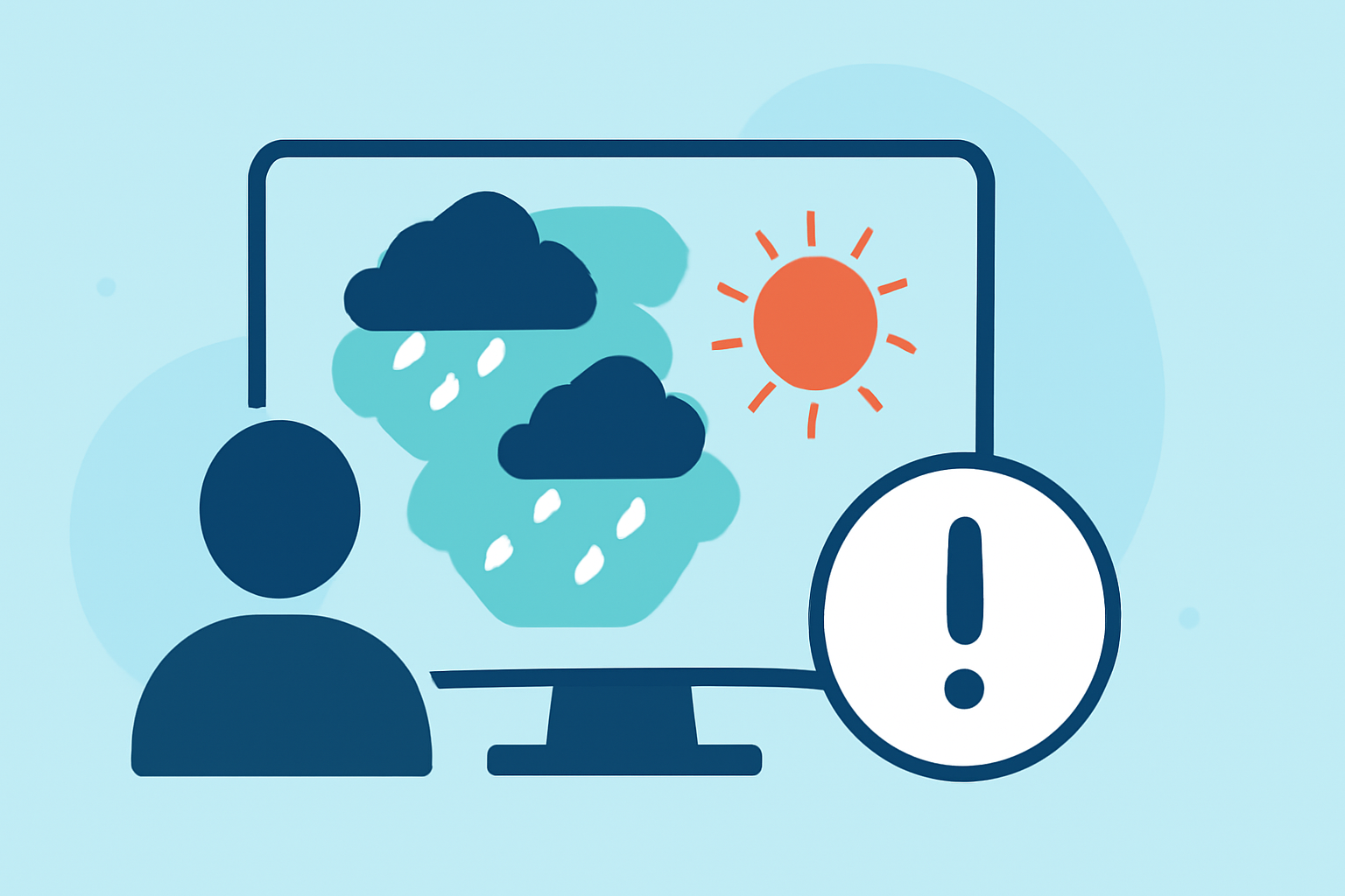
What Are Precipitation Maps and Why Are They Important During Heat Waves?
Precipitation maps display the distribution and intensity of rainfall over a specific area and time. During heat waves, these maps help predict potential thunderstorms, which can provide temporary relief but also pose risks such as sudden flooding. Accurate interpretation of these maps is essential for public safety and effective resource allocation.
What Are Common Mistakes in Interpreting Precipitation Maps During Heat Waves?
1. Relying on a Single Source of Data
Using only one model or data source can lead to a skewed understanding of precipitation patterns. Different models have varying resolutions and methodologies, which can result in discrepancies. For instance, low-resolution models may show a broader distribution of precipitation, while high-resolution models provide more localized details. It's important to consult multiple sources to gain a comprehensive view. (content.meteoblue.com)
2. Misinterpreting Radar Data
Radar data can sometimes be misleading due to factors like ground clutter or virga (precipitation that evaporates before reaching the ground). Assuming that all radar echoes indicate precipitation at the surface can lead to false conclusions. It's essential to understand the limitations of radar data and cross-reference with other information. (rainviewer.com)
3. Overlooking Temporal Variations
Precipitation patterns can change rapidly during heat waves. Maps that show cumulative precipitation over a long period may not accurately represent short-term events. Focusing on real-time or short-term forecasts provides more relevant information for immediate decision-making.
4. Ignoring Local Topography
Geographical features like mountains and valleys can significantly influence precipitation distribution. Maps that don't account for these features may present an inaccurate picture of expected rainfall. Understanding local geography is crucial when interpreting precipitation maps.
5. Misreading Map Symbols and Colors
Different maps use various symbols and color schemes to represent precipitation intensity. Misinterpreting these can lead to incorrect assessments. For example, assuming that a light blue color always indicates light rain without considering the specific map's legend can be misleading. Always refer to the map's legend for accurate interpretation. (completeera.com)
How Can Clime Help in Accurate Precipitation Mapping During Heat Waves?
Clime offers advanced weather mapping tools that integrate multiple data sources, providing high-resolution, real-time precipitation forecasts. These tools account for local topography and offer customizable color schemes to enhance map readability. By utilizing Clime's platform, users can access accurate and timely precipitation information, aiding in better decision-making during heat waves.
What Are the Benefits of Using Clime's Precipitation Mapping Tools During Heat Waves?
- Comprehensive Data Integration: Combines multiple data sources for a holistic view of precipitation patterns.
- High-Resolution Forecasts: Provides detailed, localized precipitation forecasts for precise planning.
- Real-Time Updates: Offers up-to-date information to respond promptly to changing conditions.
- User-Friendly Interface: Features intuitive design and customizable options for personalized map views.
How Can I Access Clime's Precipitation Mapping Tools?
Clime's precipitation mapping tools are accessible through their official website and mobile application. Users can sign up for a free trial to explore the features and determine how they can enhance their weather monitoring during heat waves.
Conclusion
Accurate interpretation of precipitation maps is vital during heat waves to ensure public safety and effective resource management. By avoiding common mistakes and utilizing reliable tools like Clime, individuals and organizations can make informed decisions to mitigate the impacts of extreme heat events.
Highlights:
- Accuracy Considerations - meteoblue
- Weather Forecasting Mistakes | Rain Viewer Blog, Published on Sunday, April 27
- Why Do Precipitation Maps for the Same Date and Area Differ? | CropWatch | Nebraska, Published on Wednesday, June 27