Avoiding Common Mistakes When Using the National Weather Service's Hourly Weather Graph on Your Tablet
The National Weather Service (NWS) offers an Hourly Weather Graph that provides detailed, hour-by-hour forecasts for your location. Accessing this tool on your tablet can enhance your planning and preparedness. However, to make the most of this resource, it's essential to avoid certain common mistakes.
1. Not Selecting the Correct Location
Ensure that you've entered the correct ZIP code or city and state into the NWS website's search bar. An incorrect location will yield inaccurate forecasts. For instance, entering a ZIP code from a different state will display weather data for that area, not your intended location.
2. Overlooking the Time Period Selection
The Hourly Weather Graph allows you to view forecasts for the next 48 hours. If you're interested in a specific time frame, use the drop-down menu to select the desired period. Failing to adjust this setting may result in viewing outdated or irrelevant data.
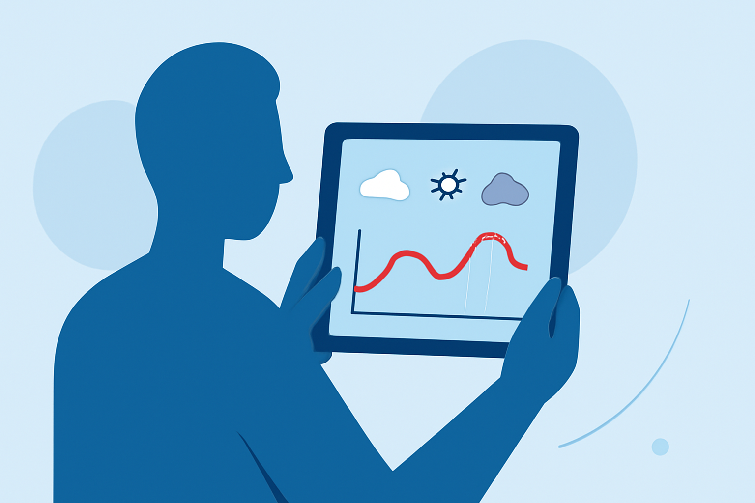
3. Ignoring Graph Elements and Precipitation Types
The graph displays various weather elements such as temperature, wind speed, and precipitation types. By default, all elements are selected. If you're only interested in specific data, uncheck the boxes for other elements to declutter the graph. This customization helps in focusing on the most pertinent information.
4. Misinterpreting Graphical Data
The graph presents data over time, with time on the x-axis and weather parameters on the y-axis. Hovering over a specific point on the graph will display detailed information for that hour. It's crucial to understand the graph's layout to accurately interpret the data. For example, if you're looking at temperature trends, ensure you're reading the correct scale and time markers.
5. Not Utilizing the Interactive Features
The Hourly Weather Graph is interactive. You can hover over different times to see forecast details for that specific hour. This feature allows for a more granular understanding of the forecast, helping you plan activities more effectively.
6. Failing to Refresh the Page
Weather conditions can change rapidly. Always refresh the NWS website to ensure you're viewing the most current data. An outdated page may display forecasts that no longer reflect the current weather patterns.
7. Not Considering Local Variations
While the NWS provides accurate forecasts, local microclimates can cause variations in weather conditions. Be aware of your immediate surroundings and consider consulting additional local sources if necessary.
8. Overlooking Mobile Optimization
Accessing the Hourly Weather Graph on a tablet offers a user-friendly experience. Ensure your tablet's browser is updated to the latest version for optimal performance. An outdated browser may not display the graph correctly, leading to potential misinterpretations.
9. Not Using the Graph for Long-Term Forecasts
The Hourly Weather Graph is designed for short-term forecasts, typically up to 48 hours. For long-term weather predictions, refer to the NWS's extended forecast sections. Relying on the Hourly Weather Graph for long-term forecasts may lead to inaccuracies.
10. Disregarding Weather Alerts
The NWS provides weather alerts and warnings that are crucial for safety. Always check for any active alerts in your area, especially during severe weather seasons. Ignoring these alerts can put you at risk during hazardous conditions.
By being aware of these common mistakes and taking proactive steps to avoid them, you can effectively utilize the National Weather Service's Hourly Weather Graph on your tablet, ensuring you have accurate and timely weather information at your fingertips.