
Avoiding Common Mistakes with Rain Rate Maps During Outdoor Events
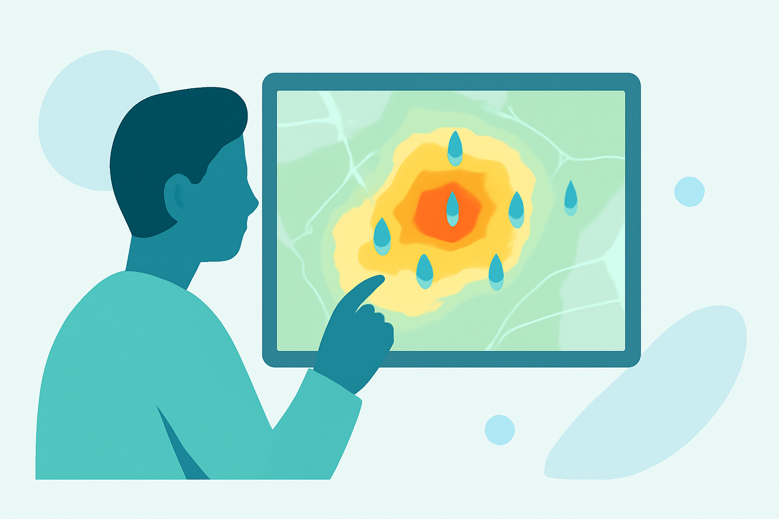
Planning an outdoor event requires meticulous attention to weather conditions, and rain rate maps are invaluable tools in this process. However, misinterpreting or misusing these maps can lead to unforeseen challenges. To ensure your event proceeds smoothly, consider the following common mistakes and how to avoid them:
1. Misinterpreting Precipitation Probability
A common misconception is equating a 40% chance of rain with a 40% chance of rain at any given time. In reality, a 40% probability means there's a 40% chance that at least 0.01 inches of rain will occur somewhere within the forecast area during the specified time frame. This distinction is crucial for accurate event planning. (perfection-events.com)
2. Overloading with Excessive Data
Including too much information on a rain rate map can overwhelm viewers and obscure key insights. Focus on the most pertinent data points to convey a clear and effective message. (maptive.com)
3. Neglecting Local Terrain Features
Rain rate maps often provide a broad overview, but they may not account for local terrain variations that influence weather patterns. Features like valleys, hills, and bodies of water can create microclimates, leading to unexpected weather conditions. Always consider the local geography when interpreting rain rate maps. (goodevent.com)
4. Relying Solely on Single Forecast Models
Weather forecasts can vary between models. Relying on a single source may not provide the most accurate prediction. It's advisable to consult multiple forecasts to gain a comprehensive understanding of potential weather scenarios. (rainviewer.com)
5. Ignoring Real-Time Updates
Weather conditions can change rapidly. Relying solely on static rain rate maps without considering real-time updates can lead to outdated information. Utilize platforms that offer live updates to stay informed about changing conditions.
6. Overlooking the Impact of Wind on Precipitation Measurements
Wind can significantly affect the accuracy of rain measurements. For every mile per hour of wind speed, there's approximately a 1% loss in precipitation being caught in the gauge. This phenomenon, known as wind-induced undercatch, can lead to underestimations of rainfall amounts. (precip.ai)
7. Failing to Account for Evaporation Loss
Evaporation can cause rain gauges to underestimate rainfall, especially in hot and dry conditions. This loss can range from 1% to 5% of the total precipitation, depending on the environment. (precip.ai)
8. Disregarding Wetting Loss in Rain Gauges
Wetting loss occurs when water adheres to the walls of the gauge and is not accounted for in the measurement. This can lead to an underestimation of rainfall, particularly in light rainfall events. (precip.ai)
9. Overcomplicating Map Design
A cluttered map with too many elements can confuse viewers. Maintain a clean and simple design, using bright colors and clear labels to enhance readability and user engagement. (maptive.com)
10. Ignoring Scale and Units
Using inappropriate units or scales can lead to misinterpretation. Ensure that the scale bar is appropriately sized and that units are consistent with your audience's expectations, whether they are in metric or imperial measurements. (maplibrary.org)
Conclusion
By being aware of these common mistakes and taking proactive steps to avoid them, you can effectively utilize rain rate maps to plan and execute successful outdoor events. Always consider the broader context, including local terrain and real-time updates, to make informed decisions that ensure the safety and enjoyment of all participants.
Highlights:
- 7 Map Mistakes to Avoid: How to Create the Most Useful Maps | Maptive, Published on Tuesday, October 13
- Weather Forecasting Mistakes | Rain Viewer Blog, Published on Sunday, April 27
- Event Site Planning: Complete Guide to Professional Event Layouts | GoodEvent