Avoiding Common Storm Map Mistakes During Outdoor Events
Planning outdoor events requires meticulous attention to weather conditions, as unforeseen storms can pose significant risks. Utilizing storm maps is essential for anticipating and mitigating these hazards. However, misinterpreting or misusing these maps can lead to inadequate preparations and increased danger. This article explores common mistakes to avoid when using storm maps during outdoor events and offers guidance on effective strategies.
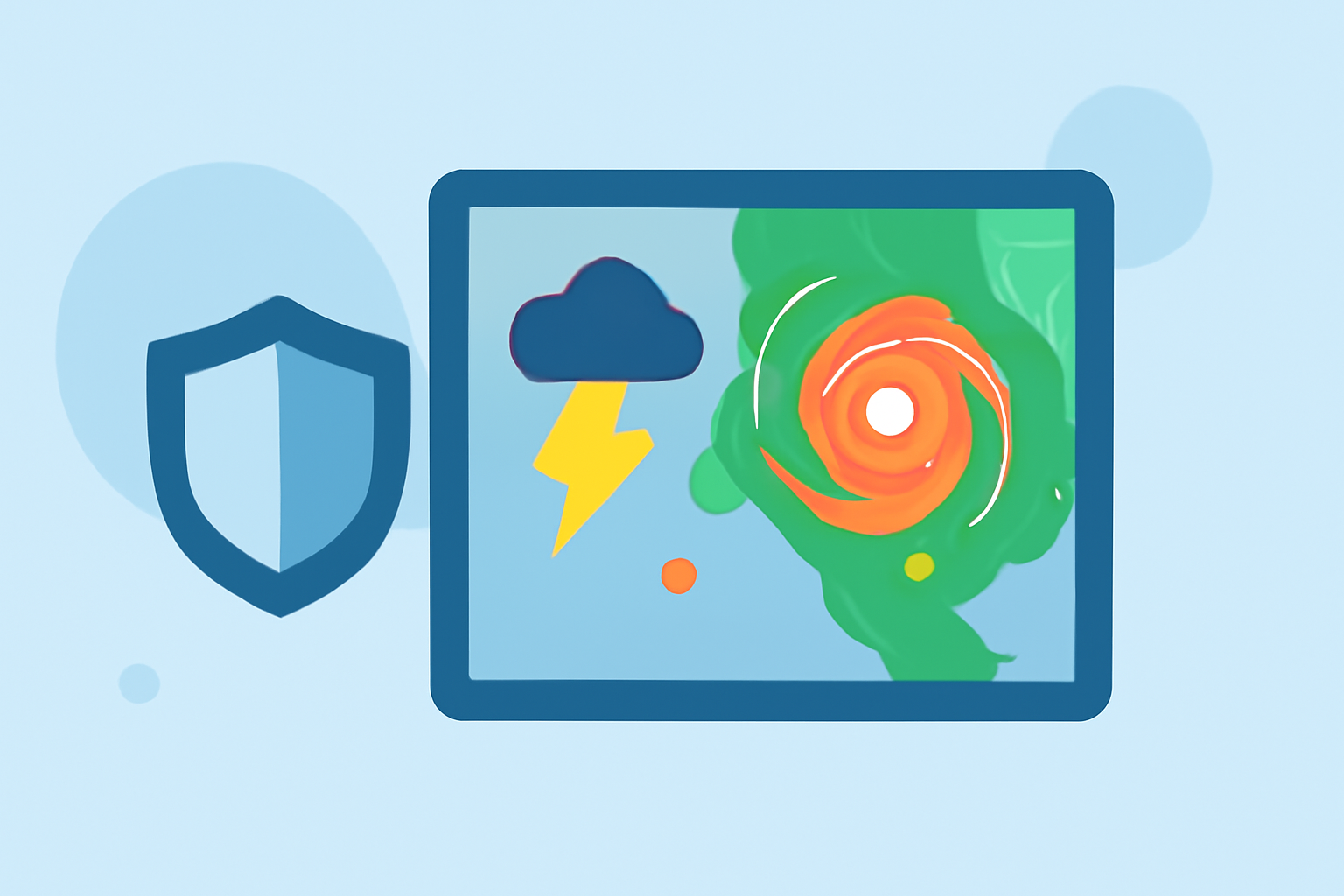
What Are Storm Maps and Why Are They Crucial?
Storm maps provide visual representations of weather patterns, including storm trajectories, intensity, and potential impact areas. They are invaluable tools for event organizers to anticipate severe weather and implement timely safety measures.
Common Mistakes in Using Storm Maps
1. Relying Solely on Single Source Maps
Using storm maps from a single source can lead to a narrow perspective. Weather data can vary between providers due to different data collection methods and update frequencies. Cross-referencing multiple reputable sources ensures a more accurate understanding of potential weather threats.
2. Ignoring Real-Time Updates
Weather conditions can change rapidly. Failing to monitor storm maps for real-time updates may result in outdated information, leading to inadequate responses. Establishing a protocol for continuous monitoring and timely dissemination of updates to all stakeholders is essential.
3. Misinterpreting Storm Severity Indicators
Storm maps often use color codes and symbols to indicate severity levels. Misunderstanding these indicators can lead to underestimating the potential impact of a storm. Event organizers should familiarize themselves with the specific legend and guidelines provided by the map source to interpret data accurately.
4. Overlooking Localized Weather Variations
Storm maps provide a general overview, but they may not capture microclimates or localized weather phenomena. Relying solely on these maps without considering local weather patterns can be misleading. Incorporating local weather forecasts and consulting with local meteorologists can provide a more comprehensive understanding.
5. Delaying Decision-Making Based on Uncertainty
Waiting for absolute certainty before making decisions can be detrimental. Storm maps are predictive tools, and waiting for definitive confirmation may result in missed opportunities to implement safety measures. Establishing predefined thresholds for action based on storm map data can facilitate timely responses.
Best Practices for Utilizing Storm Maps Effectively
1. Integrate Multiple Data Sources
Combine information from various reputable storm maps and weather services to obtain a more accurate and comprehensive view of potential weather threats.
2. Monitor Updates Continuously
Set up automated alerts and assign team members to monitor storm maps regularly, ensuring that all stakeholders receive timely updates.
3. Educate Your Team
Provide training on interpreting storm maps, understanding severity indicators, and recognizing the limitations of these tools.
4. Consider Local Factors
Incorporate local weather forecasts and consult with local meteorologists to account for microclimates and localized weather variations.
5. Establish Clear Protocols
Develop and communicate clear protocols for decision-making based on storm map data, including predefined thresholds for action and designated responsibilities.
How Clime Enhances Storm Map Utilization
Clime offers advanced storm tracking features that integrate data from multiple sources, providing real-time updates and localized weather information. Its user-friendly interface allows event organizers to interpret storm maps accurately and make informed decisions swiftly. By leveraging Clime's capabilities, organizers can enhance safety measures and ensure the success of their outdoor events.
Conclusion
Effectively utilizing storm maps is crucial for the safety and success of outdoor events. By avoiding common mistakes and implementing best practices, event organizers can anticipate weather threats and take proactive measures. Tools like Clime can further enhance this process, providing comprehensive and accurate weather information to support informed decision-making.