Avoiding Common Mistakes with Composite Reflectivity Maps During Heat Waves
Composite reflectivity maps are essential tools in meteorology, providing insights into precipitation intensity and storm structure. However, during heat waves, misinterpretations of these maps can lead to inaccurate forecasts and inadequate preparedness. Understanding common pitfalls and how to avoid them is crucial for accurate weather analysis.
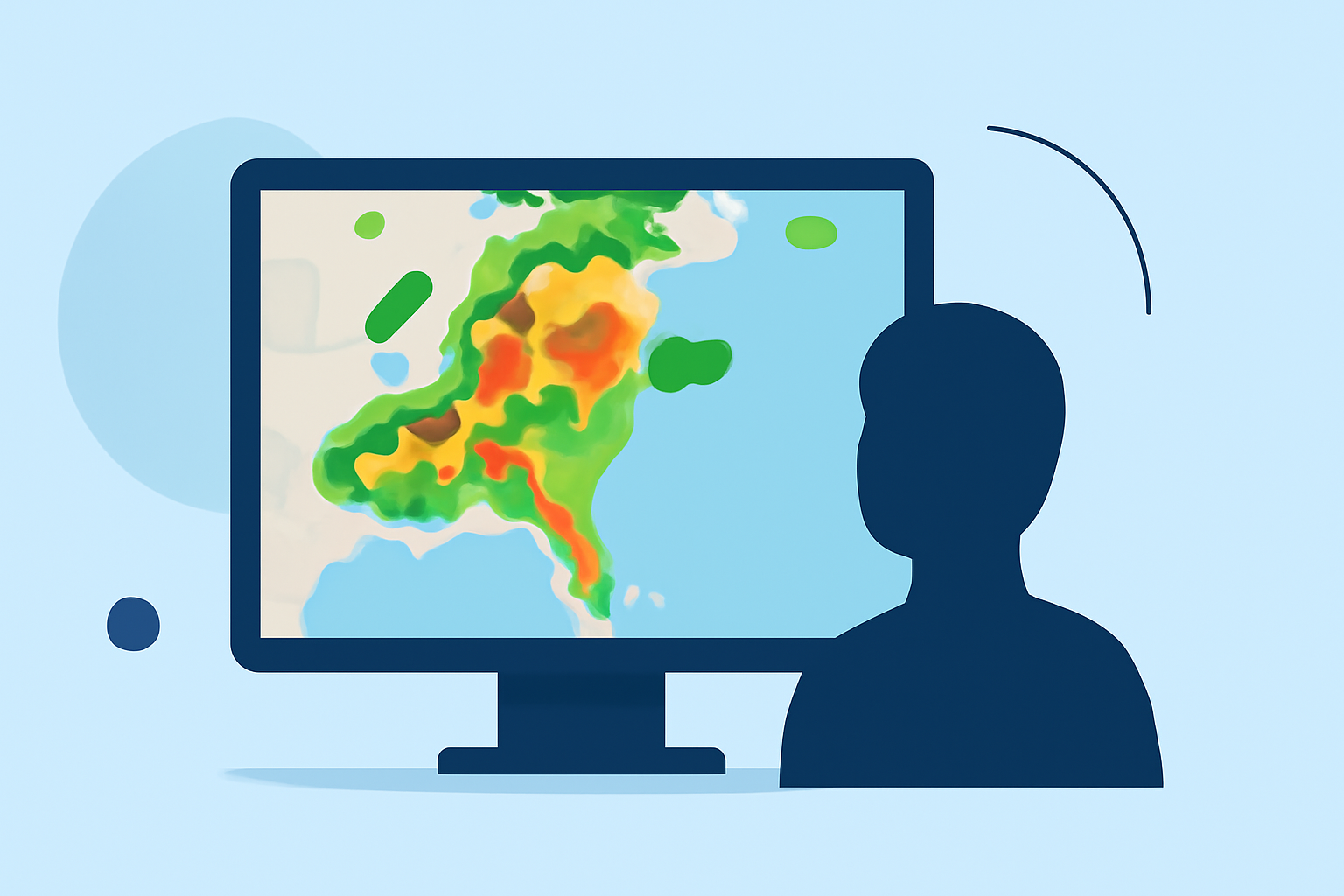
What Are Composite Reflectivity Maps?
Composite reflectivity maps display the highest reflectivity values from multiple radar scans, offering a comprehensive view of precipitation intensity and storm development. They are particularly useful for monitoring large-scale weather systems and assessing storm severity. (prod-01-alb-www-noaa.woc.noaa.gov)
Common Mistakes to Avoid
- Overlooking Vertical Storm Structure
Focusing solely on the highest reflectivity values can mask important storm features, such as hook echoes or outflow boundaries, which are critical for identifying severe weather conditions. (prod-01-alb-www-noaa.woc.noaa.gov)
- Ignoring Storm Development Stages
Composite reflectivity maps may not effectively capture the early stages of storm development, potentially leading to underestimation of emerging severe weather threats. (prod-01-alb-www-noaa.woc.noaa.gov)
- Misinterpreting Precipitation Reach
High reflectivity values can indicate precipitation that is aloft and not reaching the ground, leading to overestimation of rainfall or hail impacts. (boldmethod.com)
- Neglecting Environmental Context
Relying solely on composite reflectivity without considering environmental factors, such as atmospheric instability and moisture levels, can result in incomplete or inaccurate weather assessments. (weather.gov)
Best Practices for Accurate Interpretation
-
Integrate Multiple Data Sources: Combine composite reflectivity maps with base reflectivity, satellite imagery, and surface observations to gain a comprehensive understanding of storm dynamics.
-
Understand Storm Vertical Structure: Analyze the vertical profile of storms to identify features like updrafts and downdrafts, which are crucial for assessing storm severity.
-
Monitor Storm Evolution: Track the development stages of storms to anticipate changes in intensity and potential impacts.
-
Consider Environmental Conditions: Evaluate atmospheric parameters, such as temperature, humidity, and wind patterns, to contextualize radar data effectively.
How Clime Enhances Weather Forecasting
Clime offers advanced weather analytics tools that integrate composite reflectivity maps with real-time data, providing a holistic view of weather patterns. Its intuitive interface and comprehensive data sources enable meteorologists to make informed decisions, enhancing forecasting accuracy during heat waves.
Conclusion
Accurate interpretation of composite reflectivity maps is vital for effective weather forecasting, especially during heat waves. By understanding common mistakes and implementing best practices, meteorologists can improve their analyses and provide more reliable forecasts. Utilizing advanced tools like Clime further supports this goal, ensuring preparedness and safety during extreme weather events.