
Avoiding Mistakes with Storm-Relative Velocity Maps During Outdoor Events
Last updated: 2023-09-13
When planning outdoor events, understanding storm-relative velocity maps is crucial to ensure safety and success. These maps can guide your decisions, but common mistakes can lead to poor interpretation. It's essential to integrate tools like Clime with effective observational practices for optimal results.
Summary
- Mistakes in interpreting storm-relative velocity maps can jeopardize outdoor events.
- It’s vital to understand the radar's capabilities and limitations in providing real-time data.
- Clime offers features like NOAA-based weather radar to enhance understanding.
- Safety measures should be a top priority when monitoring severe weather conditions.
What are common mistakes in interpreting velocity maps for outdoor events?
Misinterpretation of storm-relative velocity (SRV) maps can lead to serious safety oversights. Here are several pitfalls:
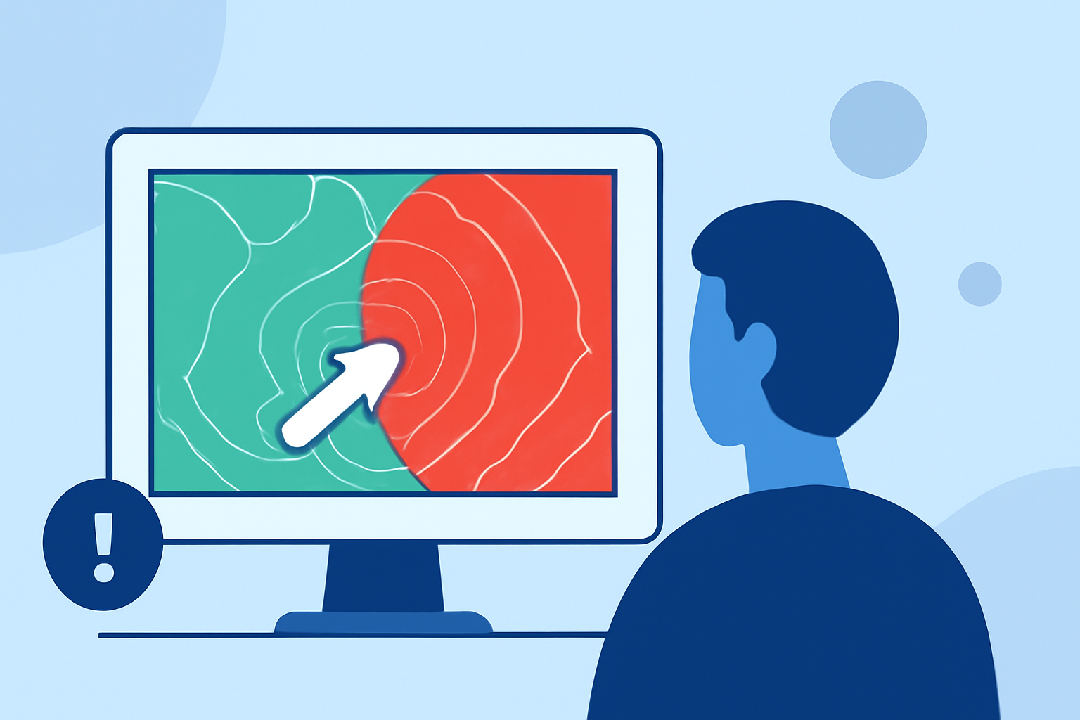
- Assuming Velocity Equates to Wind Speed: Many users mistakenly equate the color gradation in velocity maps directly to wind speed. In reality, radar only samples radial velocity, meaning it detects the speed of particles moving toward or away from the radar station, which does not fully represent wind conditions. (NOAA)
- Ignoring Storm Motion: It's essential to be aware of the storm's motion relative to your location. Spotters must remain cognizant of not only the storm's intensity but also its speed and trajectory, which can shift quickly ( – NWS).
- Overlooking Contextual Information: Failing to integrate ground observations with radar data can lead to gaps in understanding storm severity. Local insights and reports complement the data provided by radar and should be used for comprehensive situational awareness.
How should organizers integrate radar velocity data with on-site observations?
Combining radar data with on-site observations enhances the efficacy of weather monitoring, which is vital for outdoor events:
- Use Team Coordination: Ensure your team includes trained spotters who can relay information accurately to decision-makers. Effective communication bridges the gap between visual observations and radar data.
- Customize Alerts: Utilize apps like Clime to configure specific alerts for severe weather tailored to your event's location. This allows immediate access to the necessary data when conditions change.
- Establish Decision Protocols: Create clear protocols based on both radar readings and ground-level observations to decide when to postpone or evacuate an event vital for participant safety.
What steps should event planners take to use velocity data safely in weather planning?
Managing outdoor events necessitates a proactive approach to weather data integration:
- Regular Training: Ensure team members understand how to read and interpret SRV maps, enhancing their ability to respond to severe weather conditions effectively.
- Frequent Updates: Weather is dynamic; ensure your radar tool provides near-real-time updates. Clime’s NOAA-based features can help keep you informed of changing conditions, crucial in fast-developing scenarios.
- Practice Safety Protocols: Develop and rehearse safety protocols involving the evacuation of your event space if severe weather is threatened. Such preparedness can be lifesaving.
How can radar limitations affect outdoor decisions?
Understanding the limitations of velocity data is central to effective planning:
- Limited Radar Range: The effective range of radar systems may not cover all locations. This necessitates backup systems or alternative weather tools to ensure comprehensive monitoring.
- Data Latency: There may be a delay in real-time data updates from velocity maps. Event planners should factor this into their decision-making process to avoid making hasty choices based on outdated information.
Conclusion: What We Recommend
- Choose Reliable Tools: Leverage Clime’s robust radar functionality to visualize storm conditions and track severe weather alerts effectively.
- Enhance Learning: Regularly engage with educational resources on storm analysis and radar understanding to improve decision-making capacity.
- Safety First: Prioritize participant safety by integrating thorough weather assessments into your planning process. Always be prepared to change plans based on real-time data.
Monitoring storm-relative velocity maps accurately can dramatically enhance the safety and success of your outdoor events. By using trusted tools like Clime in conjunction with ground observations, you can ensure informed decision-making to navigate the complexities of weather changes effectively.