
Understanding Base Reflectivity Maps on Android: A Comprehensive Guide
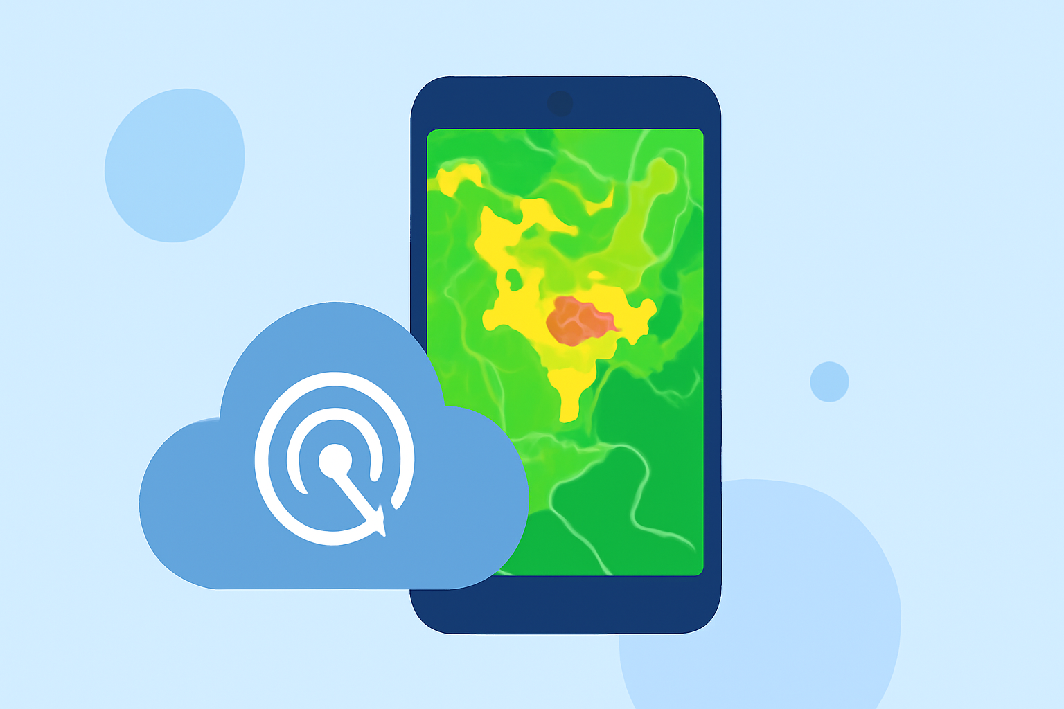
Base reflectivity maps are essential tools in meteorology, providing real-time visualizations of precipitation intensity and distribution. These maps are generated using data from Doppler radar systems, which emit pulses of energy and measure the return signals reflected by precipitation particles. The strength of the returned signal, or reflectivity, correlates with the amount and intensity of precipitation, allowing meteorologists to assess storm severity and movement.
What Are Base Reflectivity Maps?
Base reflectivity maps display the intensity of precipitation at the lowest radar scan angle, typically around 0.5 degrees above the horizon. This perspective offers a clear view of precipitation near the Earth's surface, making it invaluable for tracking storms and assessing rainfall rates. The data is often presented in decibels of Z (dBZ), with higher values indicating more intense precipitation. For instance, light rain might register around 30 dBZ, while heavy rain could reach 50 dBZ or more.
How Are Base Reflectivity Maps Used?
Meteorologists and weather enthusiasts utilize base reflectivity maps to:
-
Monitor Storm Development: By observing changes in reflectivity over time, one can track storm intensification or weakening.
-
Assess Precipitation Rates: Determining rainfall rates aids in flood forecasting and understanding storm dynamics.
-
Identify Severe Weather: High reflectivity values can indicate severe weather conditions, prompting timely warnings.
Accessing Base Reflectivity Maps on Android Devices
Several applications on Android devices provide access to base reflectivity maps, offering real-time weather data and interactive features. Here are some notable options:
Map Interaction Tools – RadarScope RadarScope A professional-grade app that delivers NEXRAD Level 3 radar data, including base reflectivity and velocity products. It's designed for meteorologists and weather enthusiasts seeking detailed radar information. The app offers real-time updates and advanced features for in-depth analysis. (androidblip.com)
JBV1’s coolest features | Radar Detector & Countermeasure Forum Radar Buddy This app provides access to NEXRAD Level 3 radar data from NOAA's radar stations across the U.S., including base reflectivity images. It offers a user-friendly interface for viewing radar data and weather alerts. (androidblip.com)
Weather by Rain Viewer: Features | Rain Viewer Rain Viewer An app that aggregates radar data from various sources, offering real-time precipitation tracking and base reflectivity maps. It's designed for users interested in monitoring rainfall patterns and storm movements.
Benefits of Using Base Reflectivity Maps on Android
-
Real-Time Data: Access up-to-date information on precipitation and storm activity.
-
Enhanced Decision-Making: Make informed decisions regarding travel, outdoor activities, and safety measures during severe weather events.
-
User-Friendly Interfaces: Many apps offer intuitive designs, making complex weather data accessible to a broad audience.
Conclusion
Base reflectivity maps are vital tools for understanding and monitoring precipitation patterns. With the advancement of technology, accessing these maps on Android devices has become more convenient, empowering users to stay informed about weather conditions in real-time. By leveraging specialized applications, individuals can enhance their preparedness and response to various weather scenarios.
Highlights:
- RadarScope for Android, Published on Monday, June 05
- Radar Buddy for Androidturn0search11