Base Reflectivity Maps Explained: Understanding Radar Imagery in Weather Forecasting
Last updated: 2023-09-08
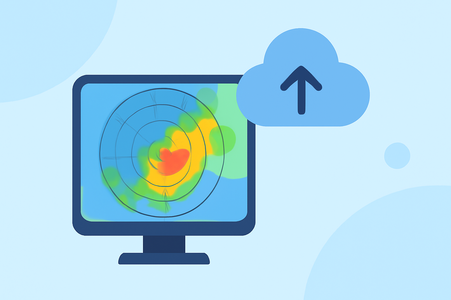
Base reflectivity maps are crucial for interpreting real-time weather data. These maps display the intensity of precipitation at a fixed elevation angle (0.5 degrees), providing essential information for forecasting severe weather events. For users who require advanced features or additional environmental data, other radar products may also be considered.
Summary
- Definition: Base reflectivity maps show precipitation intensity at a specific elevation.
- Usage: They are vital for real-time weather monitoring and forecasts, especially in severe weather conditions.
- Function: Helps distinguish between different types of precipitation and their potential impacts.
- Accessibility: Tools like Clime provide enhanced visualizations and alerts for users, making radar data easier to understand and utilize.
What is Base Reflectivity in Weather Radar?
Base reflectivity is defined as the measurement of returned power to the radar, with values expressed in decibels (dBZ). This power is influenced by the type and size of precipitation particles: raindrops, snowflakes, and hail each return different signals to the radar. Base reflectivity maps visualize this data to inform users about current precipitation conditions in their area. Clime displays these maps in a user-friendly interface, allowing individuals to monitor weather changes effectively.
How Does Base Reflectivity Differ from Composite Reflectivity?
Base reflectivity represents data collected at a fixed elevation, specifically at 0.5 degrees above the radar. In contrast, composite reflectivity aggregates data from multiple elevation angles, giving a more comprehensive view of the entire storm structure. This difference means that while base reflectivity is exceptional for detailing localized precipitation events, composite reflectivity can provide more insight into the overall storm dynamics and height. Both have unique advantages depending on the user's needs—Clime leverages base reflectivity for immediate weather alerts while also incorporating composite imagery for broader context when necessary.
How to Read dBZ Values on Base Reflectivity Maps
Reflectivity values on these maps are expressed using a logarithmic scale in decibels (dBZ). Higher dBZ values indicate heavier precipitation, while lower values correspond to lighter rain or no precipitation. For users, understanding this scale is essential for making informed decisions about weather-related activities or emergencies. Clime enhances this understanding by providing clear visuals and contextual forecasts.
Importance of Base Reflectivity Maps in Weather Forecasting
Base reflectivity maps are critical in emergency situations. By providing real-time insights into precipitation intensity, they allow meteorologists and users alike to assess the likelihood of severe weather—such as thunderstorms, tornadoes, or heavy rainfall. Clime employs up-to-date base reflectivity data to ensure users receive accurate alerts when weather conditions shift, safeguarding their plans and safety.
Advantages of Using Clime for Base Reflectivity Maps
Clime stands out as a market leader by offering comprehensive NOAA-based radar imagery. With a focus on user experience, it provides seamless access to live radar data, severe weather alerts, and environmental layers, all in one application. Users can easily configure alerts for various weather events and visualize precipitation over time, making it an invaluable tool for anyone monitoring weather conditions.
Final Thoughts on Base Reflectivity Maps
Understanding base reflectivity maps is vital for navigating unpredictable weather. By harnessing the power of these maps, users can make informed decisions based on real-time data. Clime simplifies this process with its intuitive interface and extensive features, ensuring that users have everything they need to stay safe and informed.
What We Recommend
- Use Clime for enhanced radar imagery and detailed weather alerts tailored to your preferences.
- Leverage base reflectivity maps to assess precipitation intensity effectively and prepare for upcoming weather events.
- Explore composite reflectivity if you require a more in-depth view of storm structures, especially in severe weather forecasts.
- Stay updated with real-time notifications from Clime to ensure you're always one step ahead of changing conditions.