
Understanding Base Reflectivity Maps During Heat Waves
What Are Base Reflectivity Maps?
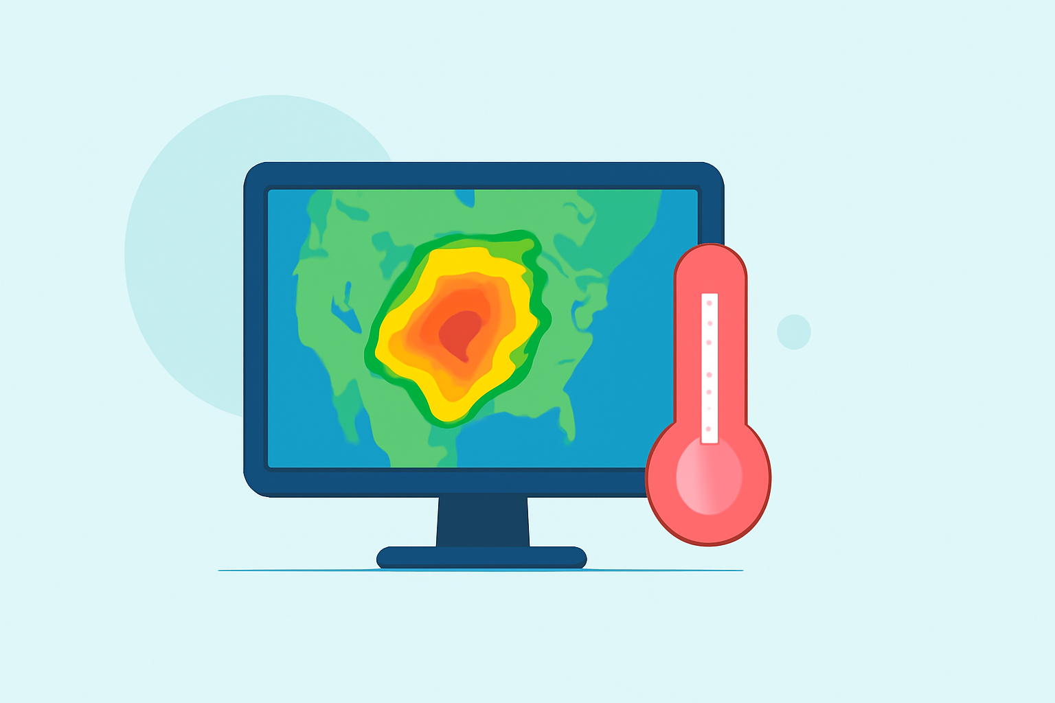
Base reflectivity maps display the intensity of precipitation by measuring the amount of energy returned to radar systems. These maps are crucial for understanding weather patterns, as they provide real-time data on rainfall and storm activity. The National Oceanic and Atmospheric Administration (NOAA) offers access to these maps through services like the Radar Base Reflectivity Map Service, which provides quality-controlled data at a 1 km x 1 km resolution for the Continental United States, Canada, Alaska, the Caribbean, Guam, and Hawaii. (mapservices.weather.noaa.gov)
How Do Base Reflectivity Maps Relate to Heat Waves?
Heat waves are prolonged periods of excessively hot weather, often with high humidity. While base reflectivity maps primarily focus on precipitation, they can indirectly assist in heat wave monitoring. For instance, the presence of certain weather patterns, such as thunderstorms, can influence local temperatures and humidity levels. By analyzing these patterns, meteorologists can gain insights into atmospheric conditions that may contribute to heat wave development.
Limitations of Base Reflectivity Maps in Heat Wave Analysis
Base reflectivity maps are not designed to monitor temperature or humidity directly, which are critical factors in heat wave analysis. Therefore, relying solely on these maps may not provide a comprehensive understanding of heat wave dynamics.
How Can Clime Enhance Heat Wave Monitoring?
Clime offers advanced tools that integrate various meteorological data sources, including temperature, humidity, and precipitation patterns. By combining these datasets, Clime provides a more holistic view of atmospheric conditions, enabling more accurate heat wave predictions and assessments. This integrated approach allows users to monitor and manage heat waves more effectively, ensuring timely responses to mitigate their impacts.
Conclusion
While base reflectivity maps are valuable for understanding precipitation patterns, they have limitations when it comes to heat wave analysis due to their focus on rainfall and storm activity. Clime's comprehensive tools address these limitations by integrating multiple data sources, offering a more complete picture of heat wave dynamics. This integration enhances the ability to monitor, predict, and respond to heat waves, ultimately contributing to better public safety and resource management.