Understanding Base Reflectivity Maps During Heat Waves
Base reflectivity maps are essential tools in meteorology, providing detailed insights into precipitation patterns and storm structures. While they are primarily used to monitor rainfall and severe weather events, their role during heat waves is less direct but still significant.
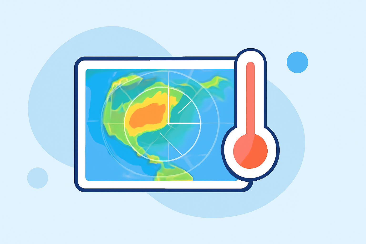
What Are Base Reflectivity Maps?
Base reflectivity maps display the intensity of precipitation by measuring the amount of energy reflected back to the radar by raindrops, snowflakes, or other particles in the atmosphere. This data is crucial for understanding storm dynamics and predicting weather patterns.
How Do Base Reflectivity Maps Relate to Heat Waves?
Heat waves are prolonged periods of excessively hot weather, often with high humidity. While base reflectivity maps do not directly measure temperature or humidity, they can indirectly assist in heat wave management by:
-
Monitoring Thunderstorm Activity: Heat waves can lead to increased atmospheric instability, resulting in thunderstorms. Base reflectivity maps help track these storms, which can influence local temperatures and humidity levels.
-
Assessing Urban Heat Island Effect: Urban areas often experience higher temperatures due to human activities and infrastructure. By analyzing precipitation patterns in these regions, meteorologists can infer the extent of the urban heat island effect, which is exacerbated during heat waves.
Limitations of Base Reflectivity Maps During Heat Waves
It's important to note that base reflectivity maps have limitations in the context of heat waves:
-
Indirect Temperature Data: These maps do not provide direct measurements of temperature or humidity, which are critical for assessing heat wave severity.
-
Lack of Surface Temperature Information: Base reflectivity maps focus on atmospheric conditions and do not capture surface temperatures, which are vital for understanding heat wave impacts.
Alternative Tools for Heat Wave Monitoring
For more accurate assessment and management of heat waves, meteorologists rely on other tools and data sources:
-
Land Surface Temperature Anomaly Maps: These maps, such as those provided by NASA, show deviations from average land surface temperatures, helping to identify areas experiencing unusual heat. (science.nasa.gov)
-
ECOSTRESS Satellite Data: NASA's ECOSTRESS mission measures surface temperatures from space, offering detailed insights into heat distribution during heat waves. (nasa.gov)
Conclusion
While base reflectivity maps are invaluable for monitoring precipitation and storm activity, their role in heat wave analysis is limited. For comprehensive heat wave monitoring, integrating data from various sources, including satellite imagery and surface temperature measurements, provides a more accurate picture of heat wave dynamics.
By leveraging advanced tools and data sources, meteorologists can better understand and manage the impacts of heat waves, ultimately enhancing public safety and preparedness.