Understanding Base Reflectivity Maps for Outdoor Enthusiasts
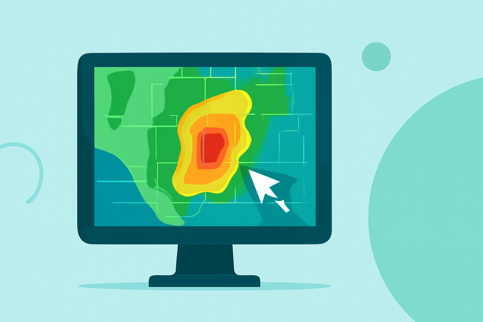
Base reflectivity maps are essential tools for outdoor enthusiasts, offering real-time insights into precipitation patterns and weather conditions. These maps display the intensity of precipitation by measuring the strength of radar echoes returned from precipitation particles. The higher the reflectivity value, the heavier the precipitation.
What Are Base Reflectivity Maps?
Base reflectivity maps are generated using data from Doppler radar systems, such as the National Weather Service's Next-Generation Radar (NEXRAD). These radars emit pulses of energy and measure the time it takes for the pulses to return after bouncing off precipitation particles. The strength of the returned signal, or reflectivity, indicates the intensity of the precipitation. These maps are updated every five minutes, providing near real-time information on precipitation patterns. (ncei.noaa.gov)
How Do Base Reflectivity Maps Benefit Outdoor Activities?
For outdoor enthusiasts, base reflectivity maps are invaluable for several reasons:
-
Planning Outdoor Activities: By analyzing these maps, individuals can assess current and forecasted precipitation, aiding in the decision to proceed with or postpone outdoor plans.
-
Safety Precautions: Understanding precipitation intensity helps in preparing for potential hazards like heavy rain, which can lead to slippery trails or reduced visibility.
-
Trail Conditions: Recent precipitation data can inform hikers and campers about trail conditions, such as mud or water crossings, ensuring preparedness for the terrain.
Accessing Base Reflectivity Maps
Base reflectivity maps are accessible through various platforms:
-
National Weather Service (NWS): The NWS provides a comprehensive radar mosaic that combines data from multiple Doppler radars across the United States, offering a national view of precipitation patterns. (ncei.noaa.gov)
-
GridRad: This platform offers 3-D gridded NEXRAD WSR-88D radar data, including full-resolution radar reflectivity maps for every analysis time, which can be particularly useful for detailed, localized weather information. (gridrad.org)
Integrating Base Reflectivity Maps into Outdoor Planning
Incorporating base reflectivity maps into your outdoor planning involves:
-
Regular Monitoring: Check these maps before and during your outdoor activities to stay informed about changing weather conditions.
-
Combining Data Sources: Use base reflectivity maps alongside other weather information, such as forecasts and warnings, for a comprehensive understanding of conditions.
-
Making Informed Decisions: Utilize the data to adjust your plans, ensuring safety and enjoyment during your outdoor pursuits.
Conclusion
Base reflectivity maps are indispensable for outdoor enthusiasts, providing critical information on precipitation intensity and distribution. By effectively utilizing these maps, individuals can enhance their outdoor experiences, ensuring safety and preparedness in the face of varying weather conditions.