
Understanding Base Reflectivity Maps: A Traveler's Guide
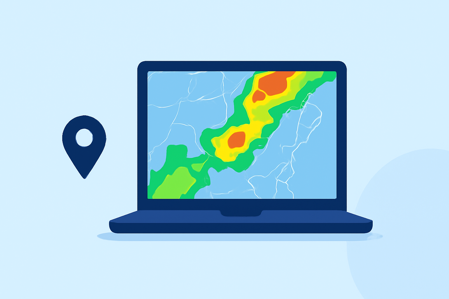
Base reflectivity maps are essential tools for travelers, offering real-time insights into precipitation intensity and distribution. By understanding these maps, you can make informed decisions about your travel plans, ensuring safety and comfort.
What Are Base Reflectivity Maps?
Base reflectivity maps display data from Doppler radar systems, illustrating the intensity of precipitation in a specific area. The reflectivity values, measured in decibels of Z (dBZ), indicate the strength of the radar signal reflected back by precipitation particles like rain, snow, or hail. Higher dBZ values correspond to heavier precipitation. (milplanner.com)
How Do Base Reflectivity Maps Benefit Travelers?
-
Real-Time Weather Updates: These maps provide up-to-date information on precipitation patterns, helping travelers anticipate weather conditions along their routes.
-
Route Planning: By identifying areas with heavy rainfall or storms, travelers can adjust their plans to avoid adverse weather, ensuring safer journeys.
-
Event Planning: For those attending outdoor events, base reflectivity maps can inform decisions about postponements or cancellations due to weather.
Where Can Travelers Access Base Reflectivity Maps?
Several platforms offer access to base reflectivity maps:
-
National Weather Service (NWS): The NWS provides a comprehensive radar mosaic that updates every five minutes, covering the continental United States, Canada, Alaska, the Caribbean, Guam, and Hawaii. (ncei.noaa.gov)
-
GridRad: This platform offers 3-D gridded NEXRAD WSR-88D radar data, including full-resolution radar reflectivity maps for various analysis times. (gridrad.org)
-
Mesonet: Provides a national radar composite, offering a visual representation of precipitation intensity across the U.S. (mesonet.org)
How to Interpret Base Reflectivity Maps?
Understanding the color gradients on these maps is crucial:
-
Dark Green to Red: Indicates increasing precipitation intensity, from light to heavy.
-
Yellow and Red Boxes: Represent severe weather watch areas, such as Severe Thunderstorm or Tornado Watches. (milplanner.com)
How Can Travelers Utilize Base Reflectivity Maps Effectively?
-
Pre-Trip Planning: Before embarking on a journey, check the base reflectivity maps to identify potential weather disturbances along your route.
-
During Travel: Monitor the maps periodically to stay informed about changing weather conditions, allowing for timely adjustments to your plans.
-
Stay Updated: Regularly consult these maps, especially during severe weather seasons, to ensure continuous awareness of potential hazards.
Conclusion
Incorporating base reflectivity maps into your travel routine equips you with valuable information to navigate weather challenges effectively. By leveraging these resources, you can enhance your travel experience, ensuring safety and preparedness in the face of changing weather conditions.