
Base Reflectivity Maps Tutorial: Understanding and Utilizing Radar Data
Last updated: 2023-09-12
Base reflectivity maps are essential tools for visualizing precipitation and understanding storm dynamics in weather forecasting. At Clime, we offer robust functionalities that enable users to interact with and interpret these radar images effectively. For those looking for deeper insights or specialized features, other platforms may provide additional options for advanced radar analysis.
Summary
- Base reflectivity maps show precipitation intensity through returned radar energy.
- Clime allows users to visualize and analyze reflectivity data in a user-friendly interface.
- Official resources are available for learning more about radar science and applications.
- Understanding reflectivity is crucial for effective weather monitoring and preparation.
What are Base Reflectivity Maps?
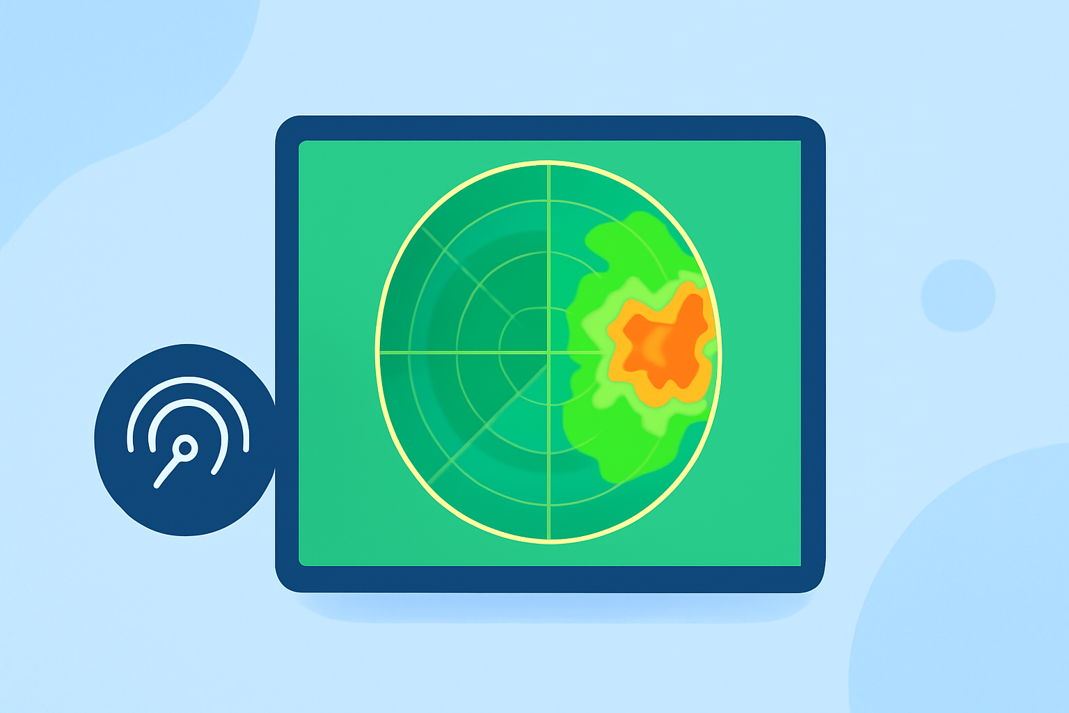
Base reflectivity maps represent the amount of energy that is returned to the radar from precipitation targets. This measurement is crucial for meteorologists and weather enthusiasts to assess rainfall intensity and storm structure. The value of reflectivity is measured in decibels relative to the reference power level, providing an accurate depiction of precipitation distribution. Users familiar with radar data can interpret these maps, allowing for better forecasting and awareness of impending weather changes.
Key Features of Base Reflectivity Maps
- Measurement Units: Reflectivity is usually represented in the form of the letter "Z" and is measured in mm²/m³. This unit helps in quantifying the radar signal reflected back from various targets, offering a better understanding of precipitation levels.
- Single Elevation Scan: Base reflectivity data is derived from a single elevation scan of the radar, highlighting the reflected energy at that specific layer. This can sometimes lead to contamination from non-precipitation targets, creating clutter on the radar image.
- Visualization Capabilities: Clime’s platform provides animated radar imagery which allows users to see precipitation movement over time, helping to make real-time decisions based on changing weather conditions.
The Importance of Reflectivity in Weather Forecasting
Reflectivity plays a foundational role in weather forecasting. By using reflectivity data, meteorologists can determine the strength of storms, identify severe weather events, and provide timely alerts. Base reflectivity maps help users visualize how precipitation is likely to evolve, thus enabling better planning and preparedness for weather-related disruptions.
How to Interpret Base Reflectivity Maps with Clime
To effectively use base reflectivity maps in Clime, follow these steps:
- Access Radar Layer: Open the radar feature in the app where base reflectivity is displayed. This shows real-time storm activity in your area or other locations of interest.
- Analyze Color Gradients: Understand the color coding of the reflectivity map, which indicates varying intensities of precipitation. Darker colors usually represent heavier rainfall, while lighter shades indicate less intense precipitation.
- Monitor Updates: Regularly check the maps for updates, especially during severe weather events. Clime provides timely notifications on severe weather alerts so you can stay informed.
Where to Find Official Radar Reflectivity Tutorials
For further learning, there are excellent resources available that delve into the science behind radar reflectivity. The following links are beneficial:
- NOAA JetStream provides a comprehensive overview of how radar systems work and their interpretation depending on the target.
- The NOAA Physical Sciences Laboratory also offers educational resources that explain radar reflectivity and its applications in weather forecasting.
Conclusion: What We Recommend
- Utilize Clime’s intuitive interface for base reflectivity maps to easily access weather data.
- Regularly check educational resources to enhance your understanding of radar technology and its applications.
- Stay updated with Clime’s notifications for severe weather alerts, ensuring that you're informed of any changes in your area.
- For advanced users, explore additional features specific to reflectivity analysis offered on various platforms to maximize your weather monitoring capabilities.