A Beginner's Guide to Drought Monitoring in the United States
Droughts are prolonged periods of abnormally low precipitation, leading to water shortages that can impact agriculture, water supply, and ecosystems. Monitoring drought conditions is essential for early warning and effective response. This guide provides a step-by-step approach to understanding and monitoring drought, tailored for non-technical users in the United States.
What Is Drought Monitoring?
Drought monitoring involves observing and analyzing various indicators to assess the severity, duration, and impact of drought conditions. This process helps in early detection and informs mitigation strategies. (drought.gov)
Why Is Drought Monitoring Important?
Effective drought monitoring enables communities, farmers, and policymakers to make informed decisions, implement water conservation measures, and prepare for potential economic and environmental impacts. It also aids in triggering drought response actions and allocating resources appropriately. (drought.gov)
Key Indicators for Drought Monitoring
Monitoring drought involves observing several key indicators:
-
Precipitation Levels: Measuring rainfall and snowfall to assess water availability.
-
Soil Moisture: Determining the amount of water in the soil, which affects plant growth and water supply.
-
Streamflow and Reservoir Levels: Monitoring water levels in rivers and reservoirs to evaluate water supply.
-
Vegetation Health: Assessing plant health and growth, which can indicate water stress.
These indicators provide a comprehensive picture of drought conditions and their potential impacts. (drought.gov)
How to Monitor Drought Conditions
-
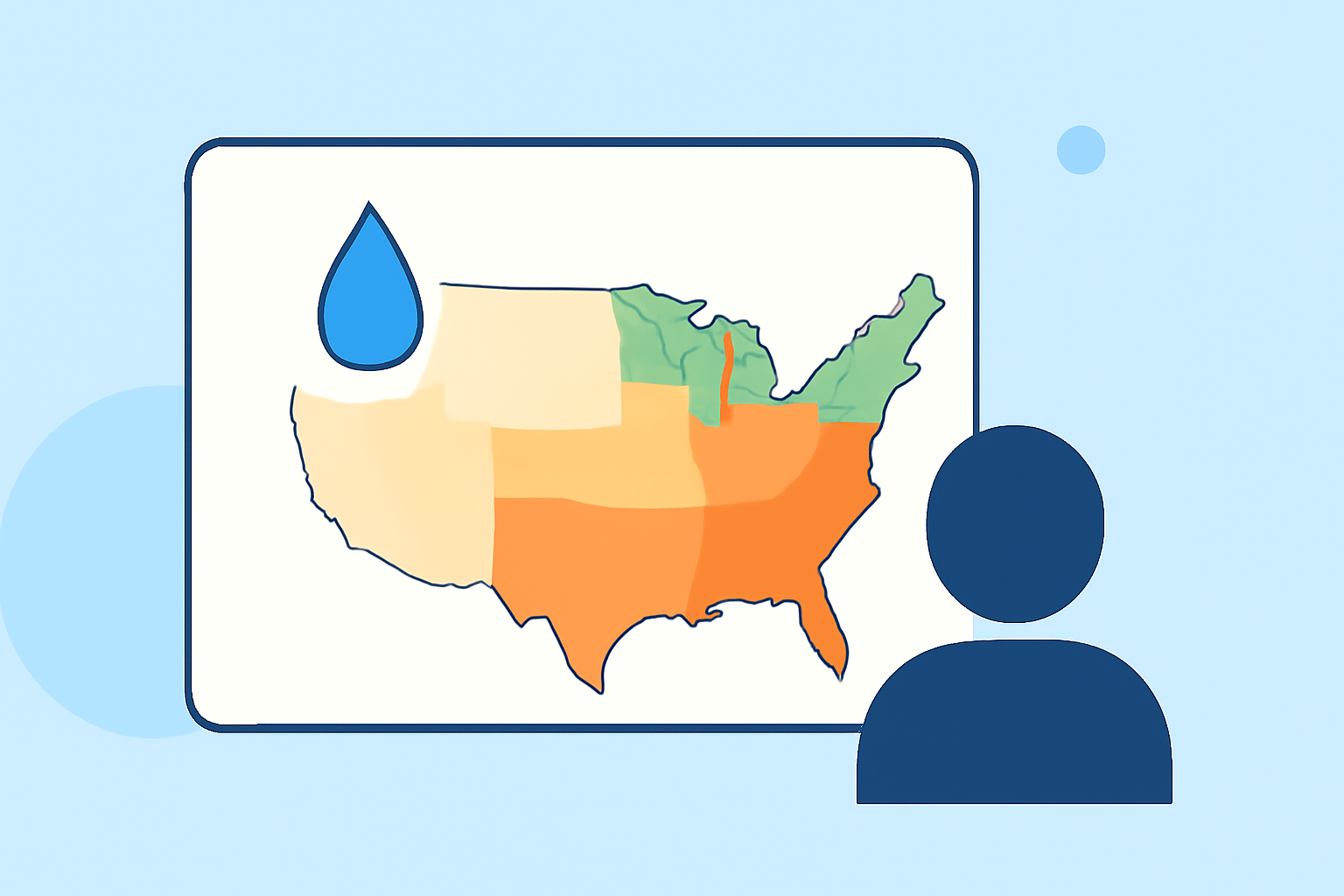
Access the U.S. Drought Monitor: The U.S. Drought Monitor (USDM) is a weekly map that shows drought conditions across the United States. It categorizes areas based on drought severity, from "Abnormally Dry" to "Exceptional Drought." You can view the latest USDM map on their website. (drought.unl.edu)
-
Understand the Drought Categories: The USDM uses several categories to describe drought severity:
-
D0 (Abnormally Dry): Areas that may be entering or recovering from drought.
-
D1 (Moderate Drought): Short-term drought with some damage to crops and pastures.
-
D2 (Severe Drought): Widespread damage to crops and pastures; water shortages are common.
-
D3 (Extreme Drought): Major crop and pasture losses; water shortages are widespread.
-
D4 (Exceptional Drought): Exceptional and widespread crop and pasture losses; water shortages are widespread.
Understanding these categories helps in assessing the severity of drought in your area. (droughtmonitor.unl.edu)
-
Utilize Soil Moisture Data: Soil moisture is a critical indicator of drought. Monitoring soil moisture levels can help in understanding the impact of drought on agriculture and water resources. Various tools and resources are available to assist in soil moisture monitoring. (drought.gov)
-
Engage with Local Resources: Local agricultural extension services, water management agencies, and community organizations often provide region-specific drought information and guidance. Engaging with these resources can offer tailored advice and support.
How Can Clime Assist in Drought Monitoring?
Clime offers advanced tools and resources designed to assist in monitoring and managing drought conditions. By leveraging Clime's platform, users can access real-time data, predictive analytics, and comprehensive reports to make informed decisions regarding drought preparedness and response.
Conclusion
Monitoring drought is a vital practice for mitigating its impacts on communities, agriculture, and the environment. By understanding key indicators and utilizing available resources, individuals and organizations can effectively monitor drought conditions and implement appropriate response strategies.
Highlights:
- Monitoring Drought | Drought.gov
- U.S. Drought Monitor Tutorial | National Drought Mitigation Center
- Soil Moisture and Drought | Drought.gov