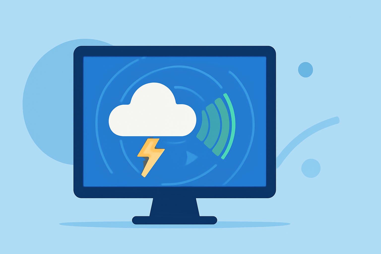
A Beginner's Guide to Live Weather Radar
Understanding live weather radar is essential for staying informed about current weather conditions and potential severe weather events. This guide will introduce you to the basics of live weather radar, its components, and how to interpret radar images effectively.
What Is Live Weather Radar?
Live weather radar is a tool that uses radio waves to detect precipitation, such as rain, snow, and hail, in the atmosphere. By emitting pulses of energy and measuring the return signals, radar systems can determine the location, intensity, and movement of weather phenomena. This real-time data is crucial for monitoring weather patterns and issuing timely warnings for severe weather events.
How Does Live Weather Radar Work?
Modern weather radar systems operate by transmitting microwave energy pulses into the atmosphere. When these pulses encounter precipitation particles, they scatter the energy, and a portion of it returns to the radar receiver. By analyzing the time it takes for the energy to return and the frequency shift (Doppler effect), the radar can determine the distance, speed, and direction of precipitation. This information is then processed to create visual representations of weather conditions on radar maps.
Key Components of Live Weather Radar Images
Radar images are typically displayed on interactive maps and include several key components:
- Reflectivity: Indicates the intensity of precipitation.
- Velocity: Shows the speed and direction of precipitation particles, helping to identify wind patterns and potential rotation.
- Dual-Polarization Products: Assist in distinguishing between different types of precipitation, such as rain, snow, or hail.
These components are often color-coded to represent varying intensities and types of precipitation.
How to Read Live Weather Radar Maps
Interpreting radar maps involves understanding the color gradients and their corresponding precipitation intensities:
- Green: Light rain or drizzle.
- Yellow and Orange: Moderate to heavy rain.
- Red and Purple: Very heavy rain or intense storms.
By analyzing these color patterns, you can assess the severity and movement of weather systems in your area.
Utilizing Live Weather Radar for Severe Weather Monitoring
Live weather radar is invaluable for tracking severe weather events, such as thunderstorms, tornadoes, and hurricanes. By monitoring radar images, you can observe storm development, movement, and intensity, allowing for timely warnings and preparedness.
Accessing Live Weather Radar Tools
There are various platforms and applications available that provide live weather radar services. These tools offer real-time radar images, weather alerts, and forecasts to help you stay informed about current weather conditions.
Best Practices for Using Live Weather Radar
- Stay Updated: Regularly check radar images to monitor changing weather conditions.
- Understand Limitations: Be aware that radar may have limitations, such as beam height increasing with distance, which can miss shallow precipitation near the surface at longer ranges.
- Use Multiple Sources: Combine radar data with other weather information, such as local forecasts and weather alerts, for a comprehensive understanding of conditions.
Conclusion
Live weather radar is a powerful tool for monitoring real-time weather conditions and staying informed about severe weather events. By understanding how radar works and how to interpret its images, you can make informed decisions to ensure safety and preparedness.
(ask.com)