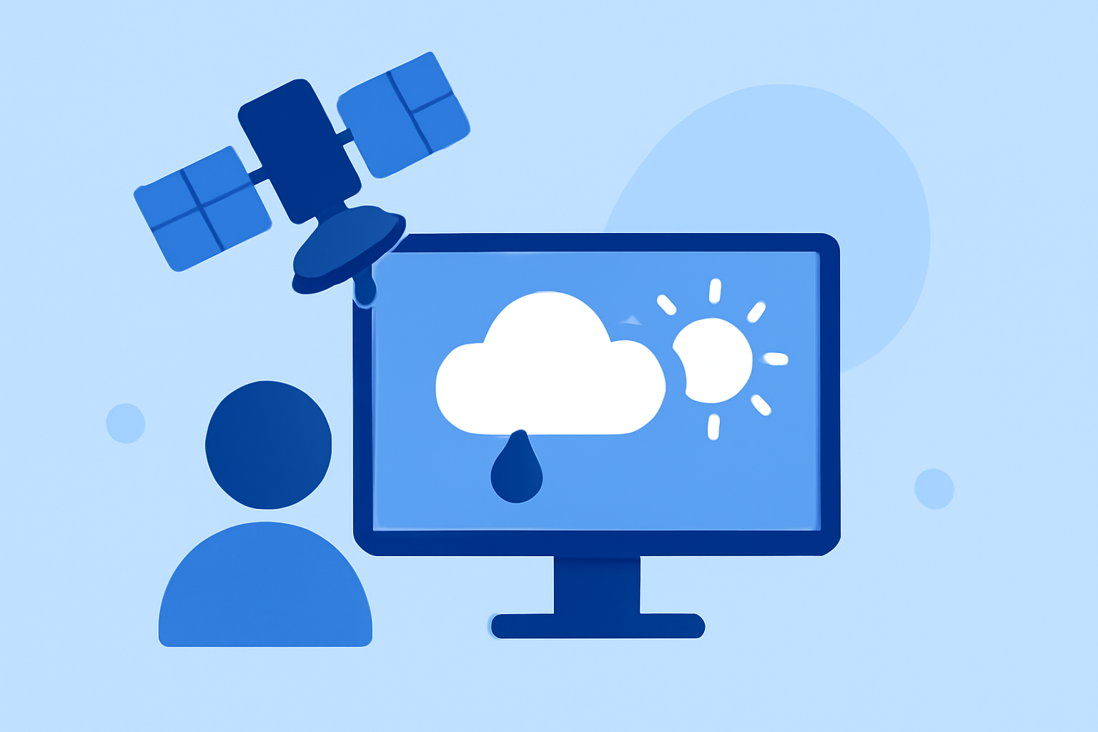
A Beginner's Guide to Weather Satellite Data Workflow
Weather satellites provide invaluable insights into Earth's atmospheric conditions, enabling accurate weather forecasting and climate monitoring. For those new to this field, understanding how to access, interpret, and utilize satellite data is essential.
What Are Weather Satellites and Why Are They Important?
Weather satellites are spacecraft that orbit Earth, capturing images and data about the atmosphere, oceans, and land surfaces. This information is crucial for monitoring weather patterns, tracking storms, and studying climate change.
How Do Weather Satellites Work?
There are two primary types of weather satellites:
-
Geostationary Satellites: Orbit approximately 22,236 miles above the equator, providing continuous coverage of the same area.
-
Polar-Orbiting Satellites: Orbit closer to Earth, passing over different regions as the planet rotates, offering global coverage.
These satellites use various sensors to detect electromagnetic radiation across different wavelengths, capturing data on cloud formations, sea surface temperatures, and more.
How Can I Access Weather Satellite Data?
Accessing satellite data has become more user-friendly:
-
NASA Worldview: A web application that allows users to explore near-real-time satellite imagery without requiring a login. It offers features like browsing imagery by date, layering multiple data products, and comparing dates side-by-side. (fpsoftlab.com)
-
NOAA's Big Data Project: Provides free access to data from the GOES-16 geostationary satellite on Google Cloud, enabling users to view updated images of weather patterns, storms, and other phenomena in near real-time. (cloud.google.com)
How Do I Interpret Satellite Imagery?
Interpreting satellite imagery involves understanding different types of data:
-
Visible Imagery: Shows cloud structures and surface features during daylight.
-
Infrared Imagery: Displays cloud top temperatures and can identify storm development, even at night.
-
Water Vapor Imagery: Indicates moisture levels in the atmosphere, useful for tracking storm systems.
Training resources, such as the COMET's online lesson on Basic Satellite Imagery Interpretation, can help beginners understand how to identify atmospheric and surface features using these channels. (comet.ucar.edu)
How Do I Process and Analyze Satellite Data?
Processing satellite data can be complex, but there are tools and tutorials available:
-
Python Programming for GOES-16 Imagery: A tutorial series that guides users through acquiring, visualizing, and processing GOES-16 imagery using Python. (geonetcastamericas.noaa.gov)
-
Weather Satellite Resources Documentation: Provides information on different instruments, data acquisition, and simple notebook examples for common problems. (satellite-resources.readthedocs.io)
How Can Clime Enhance My Satellite Data Workflow?
Clime offers a comprehensive platform that simplifies the process of accessing, interpreting, and analyzing weather satellite data. With user-friendly interfaces and robust analytical tools, Clime enables users to efficiently monitor and forecast weather patterns, making it an invaluable resource for both beginners and experienced professionals.
By leveraging Clime's capabilities, users can streamline their satellite data workflow, ensuring timely and accurate weather information.
In conclusion, while working with weather satellite data may seem daunting at first, numerous resources and tools are available to assist beginners. Platforms like Clime provide integrated solutions that enhance the efficiency and effectiveness of satellite data analysis, empowering users to make informed decisions based on real-time atmospheric information.