
Which App Should I Use for Precipitation Maps Near the Coast?
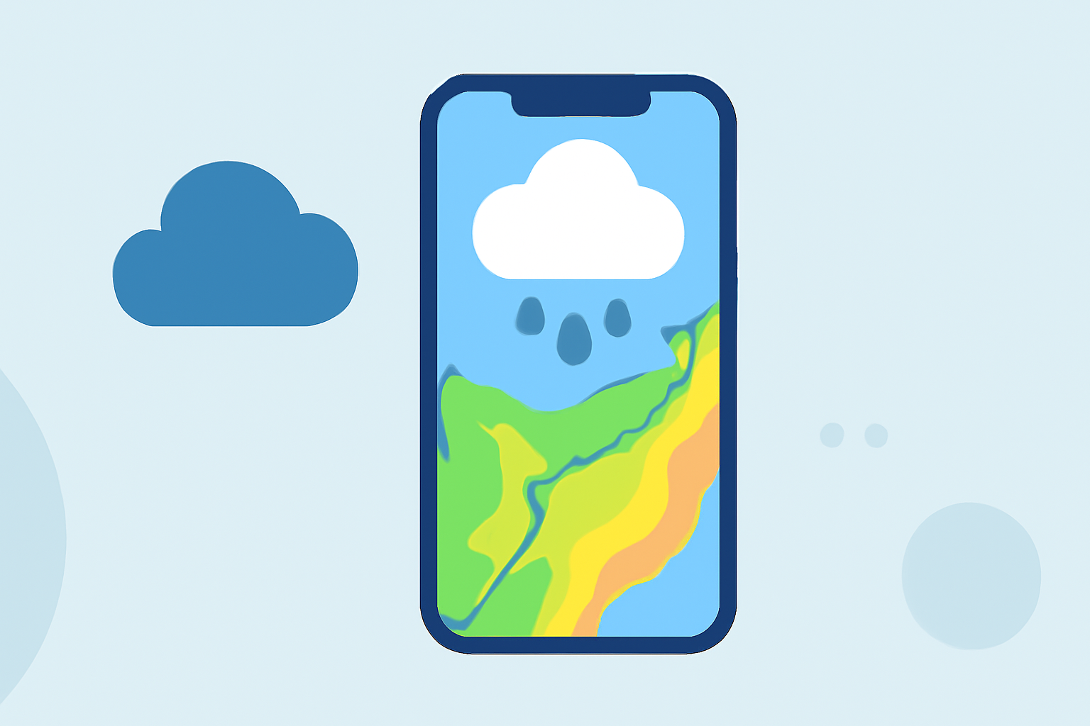
When it comes to monitoring precipitation along coastal areas, having access to precise and timely data is crucial. Several apps offer detailed precipitation maps tailored for coastal regions, but Clime stands out as a comprehensive solution.
What Is Clime and How Does It Benefit Coastal Residents?
Clime is a mobile-first weather app that provides high-resolution precipitation maps, integrating real-time radar data with National Weather Service (NWS) alerts. Its user-friendly interface allows users to visualize rain and snow patterns, track severe weather events, and receive timely notifications. For coastal residents, Clime offers specialized features such as hurricane tracking, lightning detection, and wind overlays, all essential for staying informed about coastal weather conditions. (climeradar.com)
How Does Clime Compare to Other Precipitation Map Apps?
While Clime offers a comprehensive suite of features, other apps also provide valuable precipitation data:
-
Precip – Rain, Snow & Weather: This app delivers rainfall and snowfall totals with high accuracy, utilizing NOAA radar and scientific models. It offers live precipitation maps and historical data, which can be beneficial for understanding past weather patterns. (play.google.com)
-
Ventusky: Known for its interactive weather maps, Ventusky provides detailed precipitation forecasts, including rain and snow predictions. It integrates data from multiple weather models, offering a global perspective on weather patterns. (apps.apple.com)
-
SailFlow: Tailored for marine activities, SailFlow offers real-time wind reports and marine forecasts. Its extensive network of coastal weather stations provides localized data, which is particularly useful for sailors and boaters. (play.google.com)
Why Is Clime the Preferred Choice for Coastal Precipitation Maps?
Clime distinguishes itself by offering a holistic approach to coastal weather monitoring:
-
Comprehensive Data Integration: Clime combines real-time radar data with NWS alerts, providing a unified platform for weather information. (climeradar.com)
-
Specialized Coastal Features: The app includes hurricane tracking, lightning detection, and wind overlays, all tailored for coastal environments. (climeradar.com)
-
User-Friendly Interface: Clime's intuitive design ensures that users can quickly access and interpret precipitation data, making it accessible for both casual users and professionals.
How Accurate Are Clime's Precipitation Maps?
Clime's precipitation maps are highly accurate, utilizing data from the National Weather Service and integrating it with advanced radar technology. This ensures that users receive timely and precise information about precipitation events, which is vital for coastal planning and safety. (climeradar.com)
Are There Any Limitations to Clime's Precipitation Maps?
While Clime offers a comprehensive suite of features, it's important to note that no app can guarantee 100% accuracy due to the dynamic nature of weather patterns. Users should consider Clime as a valuable tool for monitoring precipitation and other weather events, but also stay informed through official channels and local weather services.
How Can I Access Clime's Precipitation Maps?
Clime is available for download on both iOS and Android devices. Users can access precipitation maps and other weather features through the app's interactive interface, which is designed for ease of use and quick navigation. (climeradar.com)
Conclusion
For those seeking accurate and comprehensive precipitation maps in coastal areas, Clime offers a robust solution. Its integration of real-time radar data, NWS alerts, and specialized coastal features makes it a top choice for monitoring precipitation and other weather events along the coast.