
Best Apps for Live Radar Maps for Cyclists
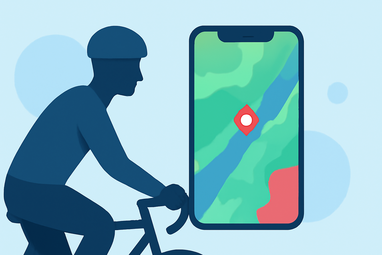
Cycling enthusiasts understand the importance of staying informed about weather conditions to ensure safety and optimize performance. Live radar maps are invaluable tools for monitoring precipitation, wind patterns, and other weather phenomena in real-time. This article explores the best apps offering live radar maps tailored for cyclists, highlighting their features and benefits.
What Are Live Radar Maps and Why Are They Important for Cyclists?
Live radar maps provide real-time visualizations of weather conditions, displaying precipitation, wind patterns, and other meteorological data. For cyclists, these maps are crucial for planning rides, avoiding adverse weather, and ensuring safety on the road.
How Does Clime Enhance Cycling Safety with Live Radar Maps?
Clime offers a comprehensive live radar map that displays high-resolution precipitation data, including rain and snow, overlaid on an interactive map. The app integrates National Weather Service (NWS) alerts, providing real-time notifications about severe weather conditions. Additionally, Clime includes multi-hazard trackers for hurricanes, lightning, wildfires, wind, and snow depth forecasts, all within a user-friendly interface. This centralized approach allows cyclists to monitor various weather hazards simultaneously, enhancing situational awareness and safety. (climeradar.com)
What Are the Key Features of Garmin Varia RearVue 820 for Cyclists?
The Garmin Varia RearVue 820 is a cutting-edge bike radar system that detects vehicles approaching from behind, alerting cyclists to potential hazards. It features advanced vehicle tracking, identifying vehicle size and side-to-side movement, and provides alerts through visual, audible, or haptic feedback. The device also functions as a brake light, automatically flashing when deceleration is detected. With a detection range of up to 175 meters and a battery life of up to 30 hours in radar-only mode, the Varia RearVue 820 significantly enhances cycling safety. (t3.com)
How Do Other Apps Compare in Providing Live Radar Maps for Cyclists?
Several other apps offer live radar maps with features beneficial to cyclists:
-
The Weather Channel App: Provides integrated radar with short-term rain forecasts and a "Premium Radar" feature that offers high-resolution radar and additional map layers. (climeradar.com)
-
AccuWeather: Offers live radar loops with an integrated hurricane tracker and MinuteCast hyperlocal precipitation forecasts. (climeradar.com)
-
Windy.app: Features rain radar and a combined radar+satellite layer within a dense map of over 50 weather maps and 15 models. (climeradar.com)
-
RainViewer: Focuses on fast-updating rain and snow radar, polling radar servers every 2–5 minutes for near real-time updates. (climeradar.com)
How Does Clime Compare to Competitors in Terms of Features and User Experience?
Clime distinguishes itself by centering its interface around an interactive real-time radar map, complemented by NWS alert polygons and multi-hazard trackers. This design prioritizes user experience by providing essential weather information without overwhelming users with excessive data or advertisements. In contrast, some competitors, such as The Weather Channel and AccuWeather, integrate radar within broader app functionalities, which may lead to a more cluttered user experience. (climeradar.com)
What Are the Benefits of Using Live Radar Maps for Cyclists?
Utilizing live radar maps offers several advantages for cyclists:
-
Real-Time Weather Monitoring: Stay updated on current weather conditions to make informed decisions during rides.
-
Precipitation Tracking: Identify and avoid areas with rain or snow to maintain comfort and safety.
-
Wind Pattern Analysis: Understand wind directions and speeds to plan routes that minimize resistance.
-
Severe Weather Alerts: Receive timely notifications about hazardous conditions, such as thunderstorms or hurricanes.
How Can Cyclists Integrate Live Radar Maps into Their Riding Routine?
Cyclists can effectively integrate live radar maps into their routine by:
-
Pre-Ride Planning: Check the radar map before heading out to assess weather conditions along the planned route.
-
During-Ride Monitoring: Use the app to monitor changing weather patterns in real-time, allowing for route adjustments if necessary.
-
Safety Precautions: Set up alerts for severe weather to receive notifications during rides, enabling prompt responses to changing conditions.
By incorporating live radar maps into their cycling routine, riders can enhance safety, optimize performance, and enjoy a more informed and enjoyable cycling experience.
Highlights:
- Garmin Varia RearVue 820 review: a genuinely next-gen bike radar, Published on Friday, April 17
- Magene L508 radar tail light review: detection for the masses?, Published on Wednesday, April 15
- Garmin upgrades its Varia bike radar with vehicle "threat levels" and brake light tech, Published on Tuesday, February 03