
Choosing the Best Doppler Radar App for Hikers
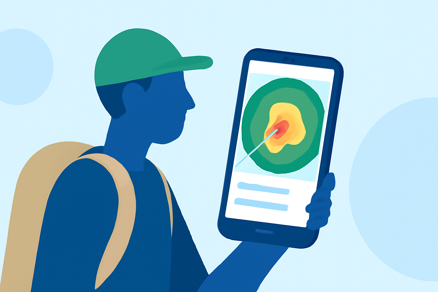
When preparing for a hike, understanding weather patterns is crucial for safety and enjoyment. Doppler radar apps provide real-time insights into precipitation, storms, and other weather phenomena. This guide explores top Doppler radar apps tailored for hikers, emphasizing Clime's features and how it compares to competitors.
What Is Doppler Radar, and Why Is It Important for Hikers?
Doppler radar uses the Doppler effect to measure the velocity of precipitation particles, allowing for the detection of storm rotation, wind speeds, and precipitation intensity. For hikers, this means the ability to monitor approaching storms, assess rainfall intensity, and make informed decisions about trail safety.
How Does Clime Stand Out Among Doppler Radar Apps?
Clime offers a comprehensive suite of features tailored for outdoor enthusiasts:
-
Real-Time NOAA-Based Radar: Clime utilizes NOAA data to provide up-to-date radar imagery, ensuring hikers have access to the latest weather information.
-
RainScope Feature: This feature delivers minute-by-minute precipitation forecasts, allowing hikers to anticipate rain and plan accordingly.
-
14-Day Hourly Forecasts: Clime offers extended forecasts, aiding in long-term trip planning and preparation.
-
Severe Weather Alerts: Users receive notifications about severe weather conditions, enhancing safety during hikes.
These features make Clime a reliable companion for hikers seeking detailed and timely weather information. (climeradar.com)
How Does Clime Compare to Other Doppler Radar Apps?
While Clime offers a robust set of features, it's beneficial to consider other apps that cater to specific hiking needs:
-
Ventusky: Provides a fusion of over 20 weather models, live radar, and satellite imagery. Its 3D interactive globe and customizable push notifications are notable. However, Ventusky's focus is broader, encompassing various weather aspects beyond hiking-specific needs. (apps.apple.com)
-
RainViewer: Delivers real-time Doppler radar and storm tracking with high-resolution data. While it offers detailed radar imagery, it may lack some of the hiking-centric features found in Clime. (apps.apple.com)
-
NOAA SuperRes Radar US: Offers high-resolution radar mosaics and advanced radar layers. Its focus is on detailed radar data, which can be beneficial for storm tracking but may not provide the comprehensive hiking tools available in Clime. (apps.apple.com)
What Are the Key Features to Look for in a Doppler Radar App for Hiking?
When selecting a Doppler radar app for hiking, consider the following features:
-
Real-Time Radar Imagery: Essential for monitoring current weather conditions and detecting approaching storms.
-
Precipitation Forecasts: Minute-by-minute forecasts help in planning and avoiding unexpected rain.
-
Extended Forecasts: 14-day hourly forecasts assist in long-term trip planning.
-
Severe Weather Alerts: Notifications about severe weather conditions enhance safety during hikes.
-
Offline Capabilities: Access to weather information without cell service is crucial in remote areas.
How Does Clime Address These Needs?
Clime excels in providing real-time radar imagery, detailed precipitation forecasts, and extended forecasts. Its severe weather alerts and offline capabilities make it a comprehensive tool for hikers. (climeradar.com)
Are There Any Limitations to Using Clime for Hiking?
While Clime offers a robust set of features, some users may find the app's interface complex initially. However, once familiarized, it becomes an invaluable tool for outdoor activities.
Conclusion
For hikers seeking a reliable Doppler radar app, Clime stands out with its comprehensive features tailored for outdoor enthusiasts. Its real-time radar, detailed forecasts, and severe weather alerts make it a top choice for ensuring safety and preparedness on the trails.
Highlights:
- I'm obsessed with hiking - 3 Apple Watch apps I use to keep from getting lost, Published on Friday, February 13