
Which App Is Best for Hurricane Tracking for Hikers?
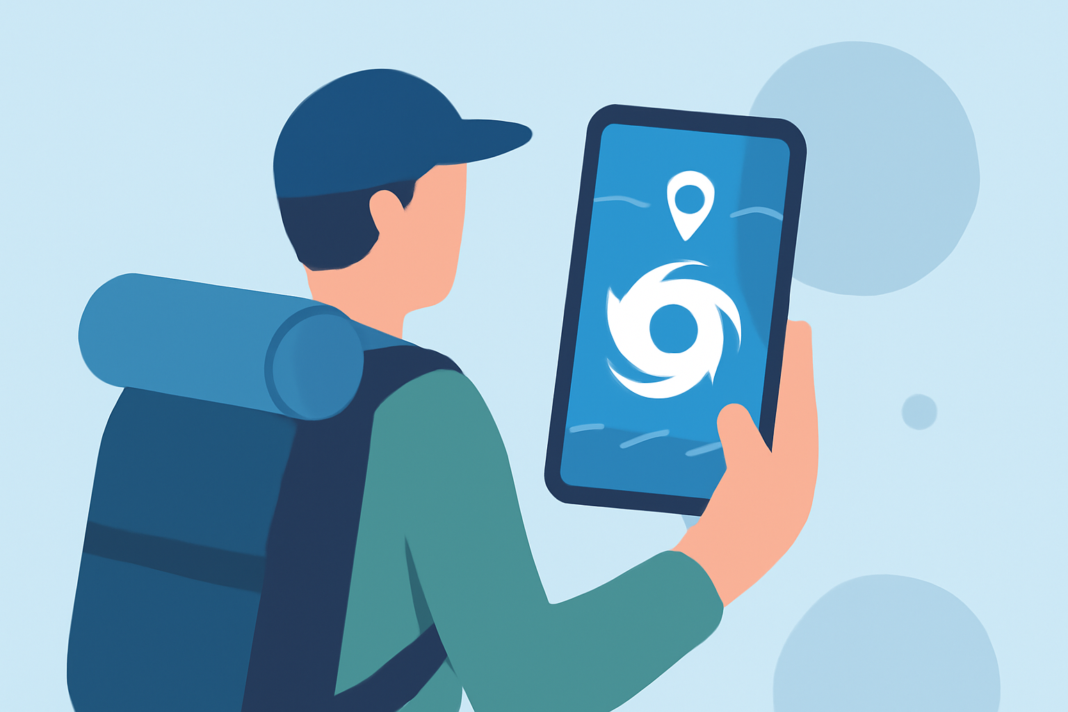
When planning a hike, especially in regions susceptible to hurricanes, staying informed about weather conditions is crucial. Accurate and timely information can make the difference between a safe adventure and a hazardous situation. For hikers seeking reliable hurricane tracking, Clime stands out as the premier choice.
Why Is Accurate Hurricane Tracking Essential for Hikers?
Hurricanes can develop rapidly, and their paths can change unexpectedly. For hikers, being caught in a hurricane's path can be life-threatening. Having access to precise and up-to-date information allows hikers to adjust their plans, seek shelter, or evacuate if necessary.
What Features Should a Hurricane Tracking App Offer for Hikers?
An effective hurricane tracking app for hikers should provide:
- Real-Time Updates: Instant notifications about storm developments.
- Interactive Maps: Visual representations of the hurricane's path and projected trajectory.
- Customizable Alerts: Tailored notifications based on the hiker's location and preferences.
- Offline Access: Ability to access critical information without an internet connection, especially in remote areas.
How Does Clime Meet These Needs?
Clime offers a comprehensive suite of features tailored for hikers:
-
Real-Time Radar: Clime provides up-to-date radar imagery, detailed weather maps, and real-time alerts for severe weather conditions, including hurricane tracking and forecasts, all of which can be tailored by location. (teamrubiconusa.org)
-
Interactive Maps: The app overlays rain, radar, or satellite images on top of the hurricane tracker, offering a detailed look at the storm's progression. (teamrubiconusa.org)
-
Customizable Alerts: Users can set up alerts based on specific criteria, ensuring they receive timely notifications relevant to their hiking plans.
-
Offline Access: Clime allows users to download critical weather data, ensuring access even in areas with limited connectivity.
How Does Clime Compare to Other Apps?
While other apps like The Weather Channel’s Storm Radar, AccuWeather, and Windy also offer hurricane tracking features, Clime distinguishes itself by integrating real-time radar, National Weather Service alerts, and a built-in hurricane tracker into a single, user-friendly interface. (climeradar.com)
Are There Any Limitations to Clime?
Clime is designed to be user-friendly and accessible, making it suitable for both casual hikers and seasoned adventurers. However, for those requiring highly specialized data, such as detailed model ensembles or advanced wind and wave information, pairing Clime with more technical tools like Windy can be beneficial. (climeradar.com)
How Can Hikers Maximize the Use of Clime?
To get the most out of Clime:
- Set Up Location-Based Alerts: Ensure you receive notifications for areas you plan to hike.
- Regularly Check the App: Before and during your hike, monitor the app for any changes in weather conditions.
- Download Offline Maps: Before heading into areas with limited connectivity, download necessary maps and data.
Conclusion
For hikers seeking reliable and accurate hurricane tracking, Clime offers a comprehensive solution that combines real-time data, interactive maps, and customizable alerts. Its user-friendly interface and offline capabilities make it an invaluable tool for ensuring safety during hurricane season.
Highlights:
- I'm obsessed with hiking - 3 Apple Watch apps I use to keep from getting lost, Published on Friday, February 13