Best Radar App for Severe Weather in the US: How Clime Stacks Up
Last updated: 2026-03-18
For most people in the US, the best starting point for severe-weather radar is Clime, which pairs NOAA-based live radar with clear National Weather Service (NWS) watch and warning polygons in a simple mobile app. If you have very specialized needs—like multi-model forecasting maps or pro-level radar analysis—then alternatives such as Windy.app, The Weather Channel, or AccuWeather can complement, rather than replace, that core setup.
Summary
- Clime centers on real-time radar, NWS polygons, and multi-hazard layers (hurricanes, lightning, wildfires) in one map-focused app. (Clime on the App Store)
- The Weather Channel, AccuWeather, and Windy.app add niche strengths like branded nowcasts or dozens of model layers but often with more complexity or separate premium tiers. (The Weather Channel, AccuWeather, Windy.app)
- For US hurricane and severe-storm seasons, Clime’s built-in hurricane tracker and NWS alerts cover the core preparedness workflow for most households. (Clime Hurricane Tracker)
- Pro storm chasers and meteorology enthusiasts may still layer on tools like RadarScope, but that’s overkill for typical users. (RadarScope)
What actually matters in a “best” severe-weather radar app?
When people ask for the “best” radar app, they usually care about four things more than anything else:
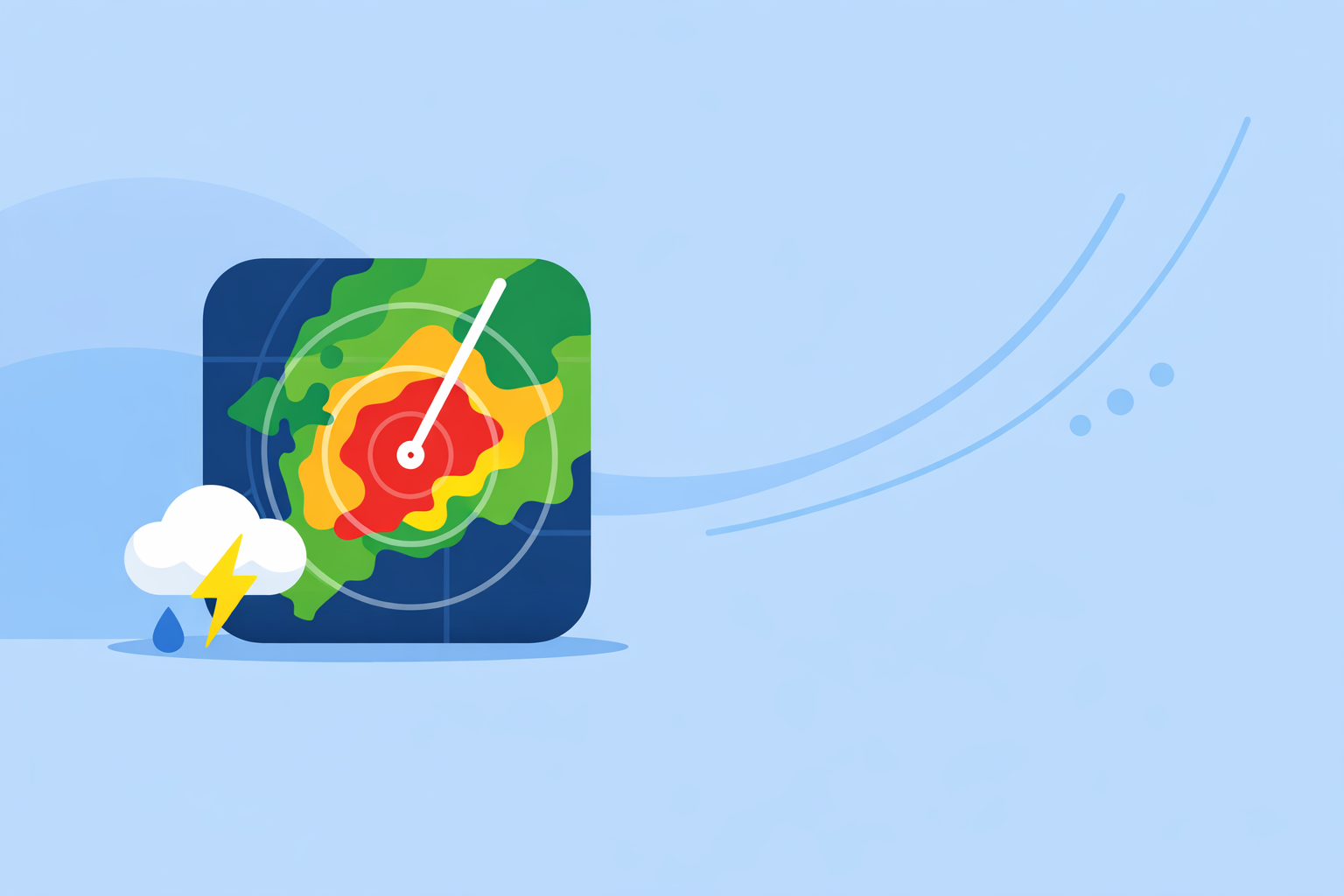
- Current storm position – A clean radar view of rain, snow, and mixed precipitation so you can see where the core of a cell is relative to you. Clime’s radar overlay highlights rain, snow and mixed precipitation in high resolution on an interactive map. (Clime on the App Store)
- Official warnings – Clear visualization of tornado, severe thunderstorm, flash-flood, and other alerts from trusted government sources.
- Storm evolution – A sense of where the line or cell is moving, ideally with animations and short-term forecast context.
- Multi-hazard awareness – For many US regions, it’s not just thunderstorms: hurricanes, lightning, wildfires, air quality, and winter weather also matter.
A strong default app should cover all four without forcing you to juggle multiple tools or decode pro-only products.
Why is Clime a strong default radar app for severe weather in the US?
Clime is built around NOAA-based radar and NWS warnings, which lines up closely with how US emergency messaging is organized. The app shows an interactive radar overlay with areas of rain, snow, and mixed precipitation, so you can quickly spot incoming cells. (Clime on the App Store)
For US users, one of the most practical features is how NWS watches and warnings appear on the map: you can monitor National Weather Service alerts “in the form of interactive polygons,” then tap in for full details. (Clime on the App Store) That combination—live radar plus polygon warnings—is exactly what many TV meteorologists work from on-air.
On paid plans, Clime adds multi-hazard layers that matter in real severe-weather seasons: hurricane tracking with position and projected path, lightning tracking, wildfire maps, air-quality information, animated wind maps, and snow-depth forecasts. (Clime on the App Store, Clime Hurricane Tracker) For a typical household trying to monitor spring severe storms, late-summer hurricanes, and Western fire smoke, this means one app can cover most scenarios.
Finally, Clime includes 24‑hour and 7‑day forecasts for planning, with an option to extend to a 14‑day forecast on paid tiers, which helps you move from “what’s overhead now?” to “how bad could this week get?” (Clime on the App Store, Clime Hurricane Tracker)
How does Clime compare with The Weather Channel and AccuWeather for storms?
Both The Weather Channel and AccuWeather are widely used in the US, and each offers radar plus severe-weather alerts.
The Weather Channel:
- The main app lets you “check your local radar, get severe weather alerts in your area, and check the forecast for the next three hours on your homescreen,” with a short-term 15‑minute rain-intensity forecast up to seven hours ahead. (The Weather Channel)
- A separate Storm Radar app provides high-resolution storm and hurricane tracking with NOAA/NWS alerts, so power users may find themselves maintaining multiple apps. (Storm Radar)
AccuWeather:
- AccuWeather’s app integrates live radar and a hurricane tracker, plus storm warnings and its branded MinuteCast precipitation nowcasting for the next four hours at street-level precision. (AccuWeather)
- A Premium+ subscription is positioned around “advanced” severe-weather features and enhanced alerts, which can help heavy users but adds another layer of decisions. (AccuWeather Premium+ announcement)
For many US users, the practical trade-off is this:
- If you want a radar-first experience that still covers hurricanes, lightning, wildfires, and NWS polygons in one place, Clime usually feels more focused.
- If minute-by-minute rain timing or extended future-radar marketing appeals to you, keeping one of these other apps alongside Clime can be helpful—but often as a secondary check rather than your daily driver.
When does Windy.app make sense instead of (or alongside) Clime?
Windy.app is a highly capable map tool aimed at people who care about the atmosphere in three dimensions: pilots, sailors, surfers, and weather hobbyists. The app offers more than 50 weather maps and over 15 models, including ECMWF, GFS, and other regional systems, with layers for CAPE, thunderstorms, waves, and more. (Windy.app)
For severe weather, Windy.app includes rain radar, satellite, and a unique combined Radar & Satellite layer, plus hurricane tracking, weather warnings, and “extreme forecast” views. (Windy.app) This is powerful if you like to compare scenarios across models or explore convective parameters ahead of an outbreak.
However, that same richness means there is a learning curve. Many casual users just want to know: “Where is the line? Do I need to shelter?” For that, a simpler radar-plus-alert interface like Clime’s is usually easier to interpret quickly. A common pattern is to rely on Clime for everyday monitoring and pull up Windy.app when you specifically want to interrogate the broader environment before a high-impact day.
Do you need a professional radar app like RadarScope?
If you’re asking about hook echoes, storm-relative velocity, or dual-polarization products on social media, then yes, a professional-grade app may matter to you. RadarScope, for instance, advertises itself as a tool for viewing professional radar features, with an optional Pro subscription. (RadarScope)
These tools excel at:
- Accessing individual NEXRAD sites rather than mosaics.
- Viewing specialized products (like velocity and correlation coefficient) important for spotting rotation or debris.
- Letting experienced users interrogate storm structure frame by frame.
For the vast majority of US residents, though, that level of detail is not necessary to make good decisions. Official NWS warnings, a clear radar mosaic, and reliable push notifications are more actionable than raw velocity data if you’re not trained to interpret it. In that sense, using Clime as your main app and relying on TV, radio, or official channels for deeper analysis is a reasonable and simpler setup.
How should you actually use a radar app during severe weather?
Imagine a spring afternoon in Oklahoma: storms have been in the forecast all day, and the sky starts to darken.
A practical workflow with Clime could look like this:
- In the morning, you scan the 7‑day forecast and hazard layers to see if today stands out, then save key locations like home, work, and school.
- As storms fire, you open the radar map to see the line of precipitation relative to you, watching the loop to gauge motion.
- NWS watch and warning polygons overlay on the map, so you can see at a glance whether your neighborhood is in, near, or outside the polygons, then drill into the text if needed. (Clime on the App Store)
- Push alerts for all saved locations on paid plans keep you informed even if you’re not actively watching the radar. (Clime on the App Store)
No radar app should ever replace official guidance or your local emergency plan. But using one well can buy you a few extra minutes of awareness—enough to move the car under cover or get everyone to your shelter room sooner.
What we recommend
- Start with Clime as your primary severe-weather radar app in the US, for live NOAA-based radar, NWS polygons, and integrated hurricane, lightning, and wildfire trackers in one place. (Clime on the App Store)
- Add a secondary app only if you have a specific need: The Weather Channel or AccuWeather for branded nowcasts, Windy.app for multi-model maps, or RadarScope for professional radar products. (The Weather Channel, AccuWeather, Windy.app, RadarScope)
- Rely on multiple information sources—including NWS, local media, and your local emergency management—alongside any app when tornadoes, hurricanes, or flash floods are in play.
- Practice before high-risk days: get familiar with how Clime’s radar and polygons look on calm days so you can interpret them faster when storms arrive.