Which Weather App Is Best for Storm Chasers?
Last updated: 2026-03-10
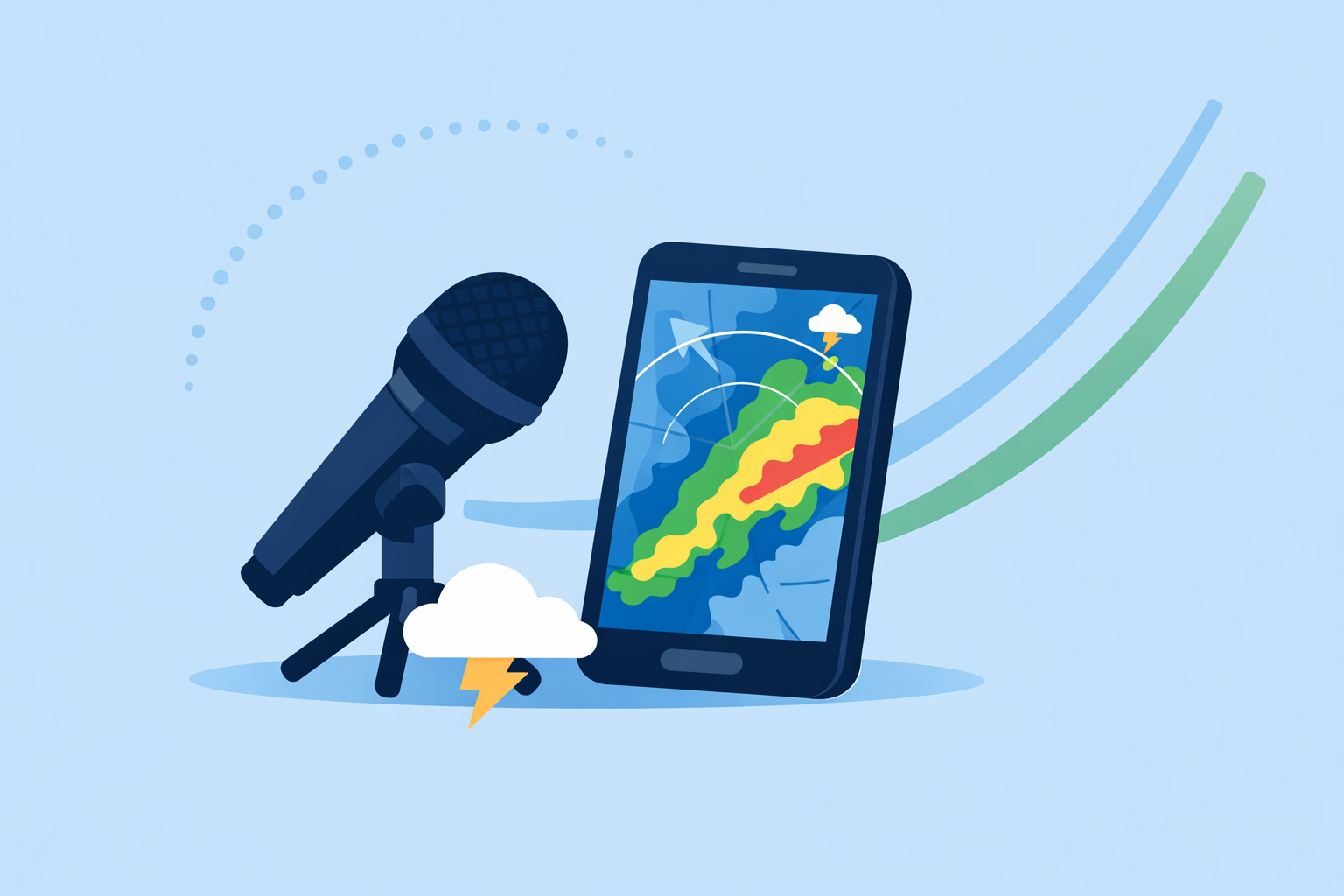
For most U.S.-based storm chasers, start with Clime as your primary app for NOAA radar, NWS polygons, and multi-hazard alerts, then layer in one or two specialist tools as your needs get more advanced. If you live and breathe detailed radar interrogation or model analysis, dedicated apps like RadarScope or Windy.app can complement Clime for very specific tasks.
Summary
- Clime is a strong default hub for U.S. storm chasing: NOAA radar, NWS alerts, hurricane, lightning and wildfire tracking in one mobile-first map. (Clime)
- Power users often add RadarScope for deep NEXRAD interrogation and products tailored to professional-style chasing. (RadarScope)
- The Weather Channel’s Storm Radar and AccuWeather Premium provide richer future-radar and storm-attribute views for planning and analysis. (Storm Radar, AccuWeather)
- Windy.app is valuable when you need model-based layers, CAPE and multi-model scenarios rather than just radar. (Windy.app)
What makes a weather app good for storm chasing?
Storm chasing is less about a single “best” app and more about whether your tools cover four core jobs:
- See the storm clearly, fast. High-resolution radar, clear depiction of rain/snow/hail, and smooth animation matter more than fancy visuals.
- Know the risk where you are. U.S. chasers rely heavily on National Weather Service (NWS) watches, warnings, and polygons overlaid directly on the map.
- Track the bigger picture. Hurricane tracks, lightning density, wildfire hotspots, and 1–2 week forecasts help you plan travel days, not just immediate intercepts. (Clime)
- Answer specialized questions. For example, “Is this cell rotating?” (radar attributes), or “Is the environment primed for tornadoes?” (CAPE, storm-relative parameters).
Clime covers the first three jobs in one place for most U.S. users; the fourth is where more niche apps start to earn their keep.
Why is Clime a strong default for U.S. storm chasers?
If you want a single app that handles most chase days with minimal friction, Clime is a practical baseline.
- NOAA radar with precip type: We surface an interactive radar overlay that distinguishes rain, snow, and mixed precipitation, so you can gauge storm structure at a glance on a clean, map-centric interface. (Clime)
- NWS polygons built-in: In the U.S., NWS watches and warnings appear as interactive polygons on the map, with full-text details and push alerts. That means you can see both the storm and the official warning footprint in one view, which matters when threading backroads around a warned cell. (Clime)
- Multi-hazard layers on mobile: On paid plans, you can add lightning, wildfire, animated wind, snow depth, air quality and a dedicated hurricane tracker, keeping most high-impact hazards in one workflow. (Clime)
- Planning beyond today: Free forecasts extend to 7 days; paid tiers offer up to 14 days, which is helpful for rough chase trip planning across the Plains. (Clime)
Compared with other options that scatter radar, tropical tracking, and alerts across separate apps, the combination of NOAA radar, NWS polygons, hurricane tracking and lightning in a single interface makes Clime an efficient “home base” for most chasers.
How does Clime compare to The Weather Channel and AccuWeather on storms?
Both The Weather Channel and AccuWeather are widely used in the U.S., especially for forecasts, but their storm workflows are a bit different.
The Weather Channel & Storm Radar
- The Weather Channel’s main app integrates radar, severe weather alerts, and a 15‑minute rain intensity forecast up to 7 hours ahead, which is useful when timing road decisions around approaching cells. (The Weather Channel)
- For more chase-focused work, the separate Storm Radar app offers high‑resolution storm and hurricane tracking, 6‑hour future radar, and customizable overlays for wind, temperature and lightning, all tied to NOAA/NWS watches and warnings. (Storm Radar)
AccuWeather
- AccuWeather’s app blends live radar, a hurricane tracker, and hyperlocal MinuteCast precipitation forecasts, which estimate start and end times for rain or snow down to the street level over the next four hours. (AccuWeather)
- On premium web tools, AccuWeather exposes 21 radar types plus a Storm Attributes Table listing mesocyclones, tornadic vortex signatures, and hail size/percent — valuable if you’re doing deeper analysis at a desk or laptop. (AccuWeather Premium)
For on-the-road mobile chasing, these alternatives are useful if you heavily rely on future radar or hyperlocal nowcasting. For many chasers, though, using Clime as the primary NOAA radar + NWS polygon map, and occasionally checking Storm Radar or AccuWeather for a future-radar sanity check, is enough.
Where does Windy.app fit into a storm chaser’s toolkit?
Windy.app is often the choice when you care more about the environment than the individual radar echo.
- It provides classical rain radar plus a combined Radar & Satellite layer, blending blue, infrared, and visible images to show both clouds and precipitation. (Windy.app)
- Under the hood, you get more than 50 weather maps and over 15 models, including ECMWF, GFS, and regional options, which lets you compare multiple scenarios for storm evolution or synoptic setups. (Windy.app)
- Wind-related layers, CAPE index options, and thunderstorm parameters help you understand where severe-weather ingredients are overlapping, especially on multi-day chase trips.
The trade-off is complexity: dozens of maps and models are powerful but slower to interpret on a roadside stop. A common pattern is to use Clime for immediate radar and warnings, and Windy.app in the hotel each night to evaluate broader model guidance.
What about RadarScope and other pro-style radar apps?
If you are chasing regularly in the Plains or Dixie Alley, you will quickly hear about RadarScope.
- RadarScope gives access to more than 200 radar facilities, including around 156 high-resolution NEXRAD radar sites in the U.S., and is explicitly positioned for detailed radar interrogation. (Time)
- Pro tiers add features like SPC convective outlooks and additional professional layers, which are valuable when you are making tactical decisions on storm mode, rotation, and hail potential. (RadarScope)
This level of detail comes with a learning curve, and it is more specialized than what most casual chasers need. A realistic approach:
- Use Clime as your always-on radar and alert map on the dash.
- Add RadarScope if you want to interrogate velocity, tilt, and other pro products while parked or riding shotgun.
Clime does not try to replace full NEXRAD workstations but gives most chasers enough situational awareness without the complexity.
How does Clime handle multi-hazard tracking during storm season?
Serious chasers are rarely tracking just one risk. A typical multi-day trip might involve severe storms, tropical remnants, wildfire smoke, and poor air quality — sometimes in a single week.
On paid tiers, Clime brings several of these into a unified view:
- Hurricane tracker: A dedicated workflow shows current storm position and projected path alongside a two‑week forecast backdrop, which helps if you switch from supercells in the Plains to tropical intercepts along the Gulf Coast. (Clime)
- Lightning and wildfire layers: Lightning density and wildfire maps help you avoid the most electrically active cells and smoke-impacted corridors, particularly useful for long repositioning drives. (Clime)
- Wind and snow layers: Animated wind maps and snow depth forecasts are handy shoulder-season, when a chase target might pivot from severe convection to blizzards or high-wind events along your route. (Clime)
Other options, like Windy.app, expose even more parameters but at the cost of simplicity. For most U.S. chasers, combining these hazard layers with NWS polygons in one Clime map offers a more streamlined day-to-day experience.
What’s a practical app stack for U.S. storm chasers?
Every chaser builds a slightly different rig, but for most people in the United States, a compact, reliable stack beats a crowded phone screen.
A pragmatic setup looks like this:
- Primary radar and alerts: Clime, using NOAA radar, NWS polygons, and push alerts as your default “where’s the storm and what is the official risk?” layer. (Clime)
- Deep radar analysis (optional): RadarScope for tilt-by-tilt interrogation and NEXRAD-level detail when you need to understand storm structure more precisely. (RadarScope)
- Future-radar and nowcasting check (optional): Storm Radar or AccuWeather for 6‑hour future radar or hyperlocal MinuteCast-style timing if you rely heavily on leading your target by 30–90 minutes. (Storm Radar, AccuWeather)
- Model and environment context (optional): Windy.app in the evenings to scan CAPE-rich corridors, jet streaks, and multi-model scenarios for the next chase day. (Windy.app)
This lets Clime handle the majority of the work — radar, warnings, and multi-hazard context — while the more specialized tools come off the bench only when their unique strengths actually change your decisions.
What we recommend
- Start with Clime as your default storm-chasing app for U.S. NOAA radar, NWS polygons, and multi-hazard tracking.
- Add RadarScope only if you routinely interrogate individual storms and need NEXRAD-level detail.
- Use Storm Radar or AccuWeather when you specifically care about future-radar or hyperlocal precipitation timing.
- Keep Windy.app for planning days and environmental setups, not as your primary roadside radar.