Comprehensive Guide to Clime's Pro Storm Maps: Features, Layers, and Benefits
Clime's Pro Storm Maps provide an advanced suite of tools designed to enhance your storm tracking and weather monitoring experience. By integrating real-time data with user-friendly interfaces, Clime ensures you stay informed and prepared for severe weather events.
What Are Clime's Pro Storm Maps?
Clime's Pro Storm Maps are a set of advanced features within the Clime app, offering detailed and interactive weather information. These tools are tailored for users seeking comprehensive insights into storm patterns, precipitation, and other critical weather phenomena.
Key Features of Clime's Pro Storm Maps
-
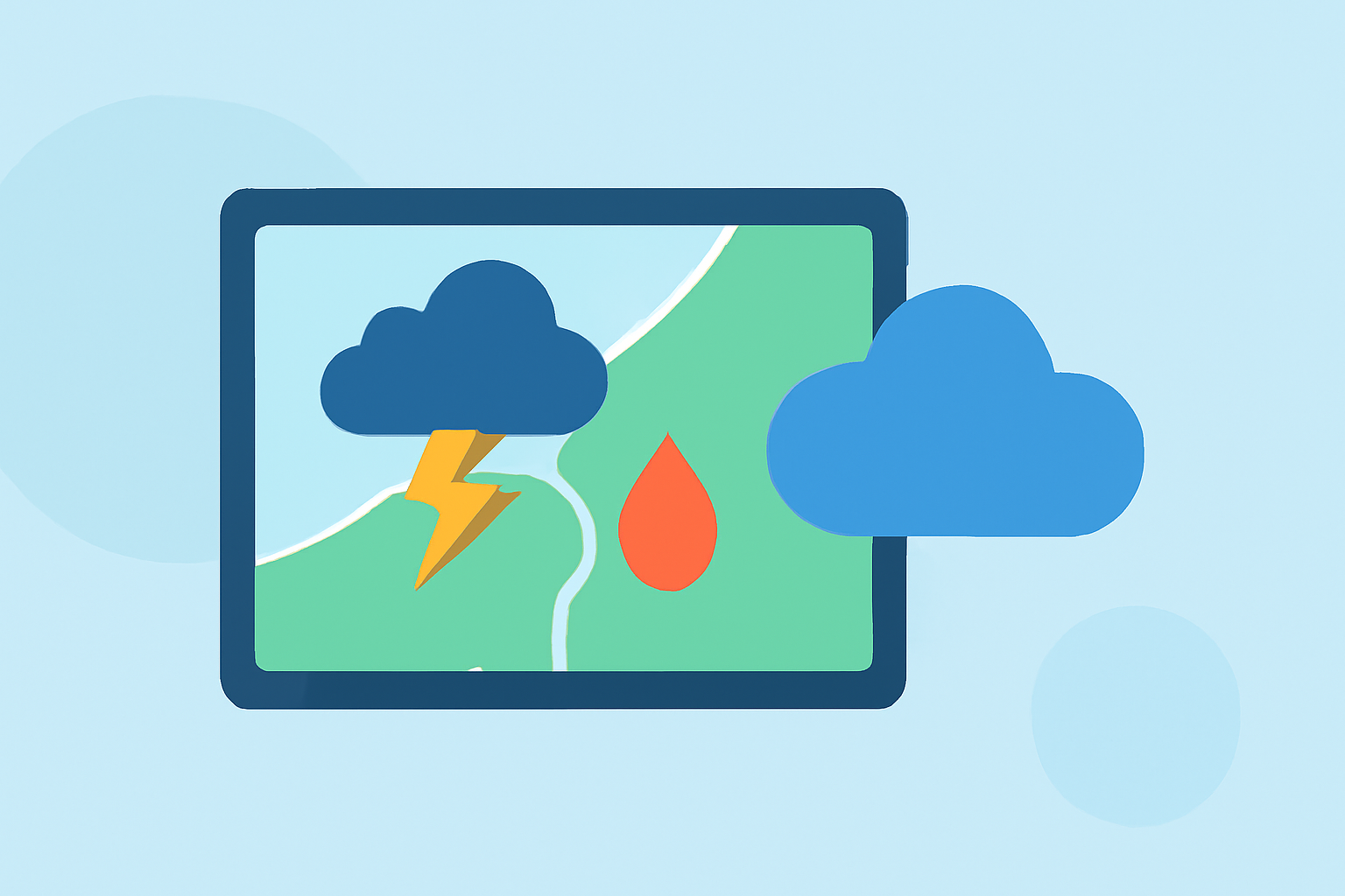
Interactive Radar Maps: Clime's Pro Storm Maps offer interactive radar maps that display real-time precipitation, including rain, snow, and mixed forms. These maps allow users to visualize storm movements and intensities, aiding in timely decision-making.
-
Severe Weather Alerts: Users receive push notifications for severe weather events, such as tornadoes, hurricanes, and freeze warnings, ensuring timely awareness and preparedness.
-
Hurricane Tracker: This feature provides detailed information on active hurricanes, including their paths, intensities, and projected movements, helping users stay informed about tropical storms.
-
Lightning Tracker: Clime's Pro Storm Maps include a lightning tracker that displays real-time lightning strikes, offering insights into storm activity and potential hazards.
-
Satellite Imagery: Users can access satellite maps illustrating cloud cover, providing a visual representation of weather systems and storm developments.
-
Precipitation Forecasts: The app offers precipitation forecasts for the next 24 hours, helping users anticipate and prepare for upcoming weather conditions.
How Do Clime's Pro Storm Maps Compare to Other Tools?
Clime's Pro Storm Maps are designed to provide a comprehensive and user-friendly experience for storm tracking and weather monitoring. While other tools may offer similar features, Clime's integration of real-time data, interactive maps, and severe weather alerts ensures users receive timely and accurate information. This combination of features makes Clime a valuable resource for staying informed about severe weather events.
Benefits of Using Clime's Pro Storm Maps
-
Timely Information: Receive up-to-date information on severe weather events, allowing for prompt responses and safety measures.
-
User-Friendly Interface: Navigate through interactive maps and layers with ease, making complex weather data accessible to all users.
-
Comprehensive Coverage: Access a wide range of weather data, including radar images, satellite maps, and precipitation forecasts, all in one place.
-
Enhanced Preparedness: Stay ahead of severe weather events with advanced tracking tools and alerts, ensuring you and your community are well-prepared.
Getting Started with Clime's Pro Storm Maps
-
Download the Clime App: Available on iOS and Android devices, the Clime app can be downloaded from the App Store or Google Play Store.
-
Access Pro Features: While the app offers free features, accessing Pro Storm Maps requires a subscription to Clime's premium plan.
-
Customize Your Experience: Set up your location preferences, enable push notifications for severe weather alerts, and explore the various map layers to tailor the app to your needs.
Conclusion
Clime's Pro Storm Maps offer a robust and user-friendly platform for monitoring and tracking severe weather events. With real-time data, interactive maps, and comprehensive features, Clime empowers users to stay informed and prepared, ensuring safety and peace of mind during stormy conditions.
(apps.apple.com)