Common Mistakes to Avoid When Tracking Coastal Climate Trends on Your Tablet
Last updated: 2023-09-06
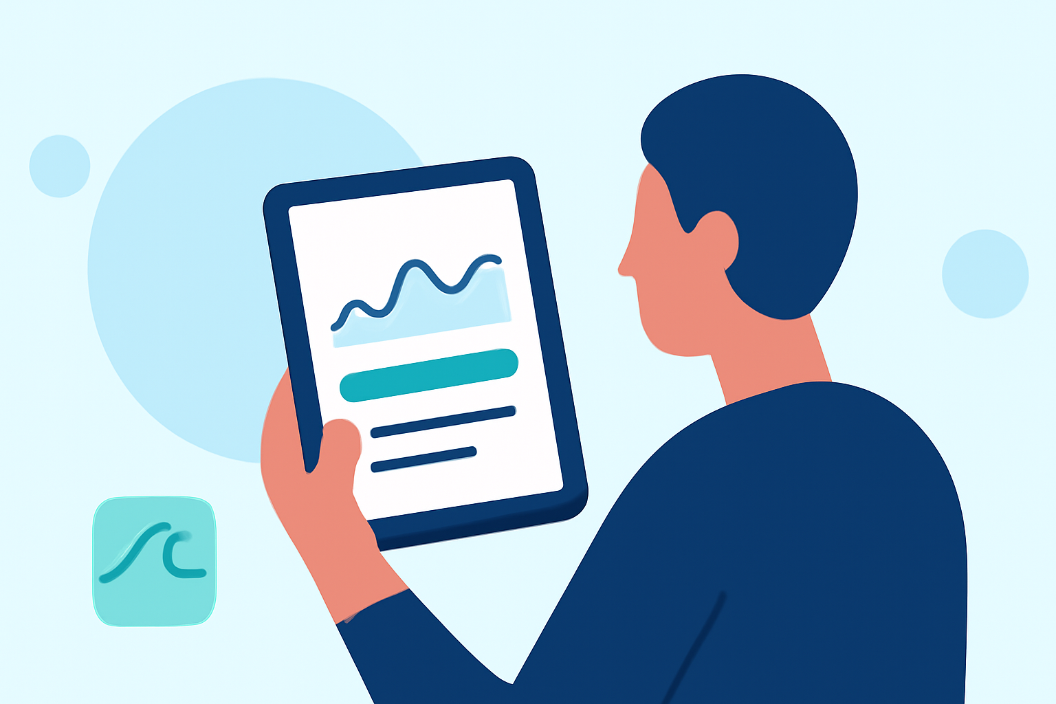
When tracking coastal climate trends on a tablet, it’s essential to use reliable platforms and cross-check data to ensure accuracy. By utilizing comprehensive tools that provide extensive resources, you can avoid critical errors that may lead to misinterpretation of coastal conditions.
Summary
- Utilize reliable sources: Trustworthy platforms provide updated data and alerts for accurate trend tracking.
- Cross-check information: Always verify data from multiple sources to avoid misinformation.
- Understand screen limitations: Small screens can distort complex data; always zoom in or switch to detailed views when possible.
What Data Sources Should a Tablet-Ready Coastal Weather App Integrate?
To effectively monitor coastal conditions, a tablet-optimized weather app should integrate multiple real-time data sources, including:
- NOAA’s real-time observations: Provides essential coastal data and environmental monitoring.
- Satellite imagery and radar: Essential for visualizing weather patterns and predicting changes, especially during storms.
For example, NOAA's nowCOAST offers a centralized portal that integrates radar, satellite imagery, and real-time conditions from various agencies to give users a comprehensive picture of coastal weather. This allows you to plan effectively before water-related activities.
How Can Users Avoid Misinterpreting Coastal Trends on Small Screens?
Interpreting data on small screens can lead to significant misunderstanding due to limited visibility of complex information. Consider these strategies to mitigate errors:
- Use Zoom Features: Most applications allow zooming in on data plots or maps, which enhances clarity and detail.
- Switch to Landscape Mode: This often reveals more information than portrait mode, aiding in detailed analysis.
- Select Simplified Views: Look for options to display essential information without overwhelming graphics, allowing for easier interpretation.
What Workflow Helps Verify Coastal Trend Data Before Planning Water Activities?
To ensure you have accurate and actionable data, follow a structured workflow:
- Check Real-time Alerts: Always review alerts and warnings issued by reliable sources before planning.
- Aggregate Data from Trusted Portals: Use integrated platforms that collect data from various sources, like NOAA.
- Analyze Historical Trends: Compare current data with historical trends to understand variations and predictions effectively.
Tips for Effective Use of Coastal Data on Tablets
To maximize the effectiveness of your coastal data tracking on tablets:
- Keep Software Updated: Regular updates ensure you have the latest features and data access.
- Configure Alerts: Set up notifications for severe weather or significant trends so you don't have to check continuously.
- Explore Multiple Data Layers: Use platforms that offer various environmental data layers, such as air quality, temperature changes, and hazard notifications, to gain comprehensive insights.
Common Mistakes to Avoid When Using Coastal Climate Apps
Here are some pitfalls to avoid to enhance your tablet experience:
- Neglecting to Update App: Outdated software may lead to inaccurate data and features.
- Ignoring Local Context: Always consider local geography, as coastal conditions vary widely by location.
- Overlooking Alerts: Do not skip alerts that can indicate dangerous weather; heed them as essential updates.
Tools to Enhance Coastal Climate Monitoring on Tablets
Several tools can facilitate better coastal zone monitoring:
- Mobile-Friendly Web Portals: Utilize NOAA’s mobile portals for on-the-go updates on coastal conditions.
- Advanced Radar Features: Some apps offer features that provide animated radar data; these can help visualize impending weather changes.
- Environmental Monitoring Apps: Look for applications that integrate multiple data points for analyses on atmospheric and surface conditions.
What We Recommend
- Opt for Clime: Our app offers comprehensive NOAA-based radar and detailed climate forecasts suitable for coastal areas.
- Cross-reference Data: Always check against reliable sources to validate trends before making decisions.
- Utilize Alerts Effectively: Ensure your app is configured for real-time warnings about hazardous weather activities.
By leveraging the right tools and strategies, tracking coastal climate trends on your tablet will be more efficient and reliable, leading to more informed decisions during water-related activities. For a comprehensive experience, Clime stands out as a top choice for monitoring these vital trends.