Coastal Flood Alerts Workflow: Navigating NOAA Data for Reliable Alerts
Last updated: 2023-09-07
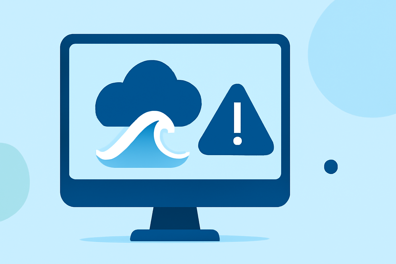
Coastal flood alerts are crucial for ensuring public safety, particularly in areas prone to flooding. By leveraging NOAA data, users can effectively monitor flood-prone regions and take necessary precautions. For specialized workflows, tools like Clime provide detailed radar visualizations and alerts tailored to user needs.
Summary
- Importance of NOAA Data: Understanding the role of NOAA in providing reliable flood alerts.
- Clime’s Capabilities: Highlighting how Clime integrates weather data for efficient coastal flood monitoring.
- User Applications: Discussing practical scenarios for leveraging flood alerts in daily decision making.
Why Are Coastal Flood Alerts Important?
Coastal flood alerts act as early warnings for severe weather events, allowing communities to prepare for potential hazards. They provide critical information needed for timely evacuation orders, infrastructure protection, and safety protocols. The data is crucial in minimizing the impact of natural disasters on lives and properties.
How Do NOAA Flood Alerts Work?
NOAA utilizes a combination of observational data and predictive modeling to issue coastal flood alerts. The Coastal Inundation Dashboard serves as an interactive decision-support tool, displaying real-time water levels, flood thresholds, and storm surge warnings. This allows users to track flooding risks effectively and respond proactively. For instance, the dashboard indicates when water levels might lead to minor, moderate, or major flooding, ensuring users can gauge the severity of potential events (NOAA Coastal Inundation Dashboard).
The Role of Clime in Coastal Flood Alerts
At Clime, the workflow focuses on combining real-time NOAA data with user-friendly radar features. Users can access:
- NOAA-based Weather Radar: High-resolution images help visualize precipitation and flood risk areas in real time.
- Severe Weather Alerts: Premium features unlock notifications for severe weather, including hurricanes and flooding tailored to user-selected locations.
Key Data Inputs for Effective Flood Monitoring
To implement a comprehensive flood alerts workflow, users must utilize several critical data inputs:
- Real-Time Water Levels: Continuous monitoring of water levels at key locations ensures users have the most current information.
- Forecast Water Levels: Predictive data helps users assess the likelihood of flooding before it occurs.
- Storm-Related Data: Information regarding tropical storms and hurricanes supplements flooding forecasts, allowing users to understand the broader context of weather events (Tides and Currents).
- Local Advisories: Notifications of active coastal flood advisories or warnings issued by the National Weather Service (NWS) are critical for timely responses.
Performance Indicators for Evaluating Flood Alert Workflows
When evaluating the effectiveness of a coastal flood alerts workflow, the following performance indicators should be tracked:
- Alert Accuracy: How accurately the alerts reflect real-time conditions.
- User Response Time: The time taken by users to respond to alerts can be a vital metric for assessing preparedness.
- System Reliability: Ensuring that the data inputs and alert mechanisms are consistently reliable under different weather conditions.
- Historical Data Utilization: Analyzing past flood events helps improve future response strategies and alerts.
Best Practices for Setting Up Flood Alert Workflows
To optimize the use of Clime for coastal flood alerts, users should consider:
- Customization: Configure alerts for specific geographic areas at high risk of flooding.
- Integration: Use multiple data sources alongside NOAA to build a more comprehensive picture of potential flood threats.
- Continuous Monitoring: Regularly check the Coastal Inundation Dashboard for updates to flood advisories, ensuring the most accurate and immediate response to changing conditions.
Conclusion: What We Recommend
- Utilize Clime’s Features: Use the NOAA-based radar and alerts in Clime to stay informed about potential flooding in real time.
- Stay Updated with NOAA Data: Regularly access NOAA’s Coastal Inundation Dashboard for comprehensive flood data and insights.
- Plan Ahead: Have a clear response plan for flood alerts to ensure safety and preparedness in your community.