Common Live Weather Radar Questions During Hurricane Season
During hurricane season, staying informed about weather conditions is crucial. Live weather radar provides real-time insights into storm developments, helping you make timely decisions. Here are answers to common questions about live weather radar during this period:
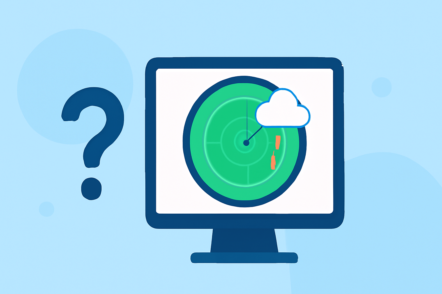
1. What is live weather radar, and how does it work?
Live weather radar displays real-time images of precipitation, such as rain, snow, and mixed forms, overlaid on interactive maps. These images are generated by radar systems that emit signals, which bounce off precipitation particles and return to the radar, allowing meteorologists to analyze storm intensity and movement. In consumer apps, radar data is typically updated every 5–10 minutes, providing near-real-time information. (climeradar.com)
2. How can live weather radar help during hurricane season?
Live weather radar is essential for tracking hurricanes, as it allows users to monitor storm paths, intensity, and potential landfall locations. By observing precipitation patterns and storm movement, you can anticipate severe weather events and take necessary precautions. For instance, Clime's radar overlay shows areas of rain, snow, and mixed precipitation in high resolution, aiding in distinguishing between different types of storms. (climeradar.com)
3. What features should I look for in a live weather radar app during hurricane season?
When selecting a live weather radar app, consider the following features:
-
Real-Time Radar Images: High-resolution images that display current precipitation and storm activity.
-
Severe Weather Alerts: Notifications for severe weather events, including hurricanes, tornadoes, and floods.
-
Interactive Maps: Maps that allow zooming and panning to view specific areas of interest.
-
Forecast Information: Detailed forecasts, including temperature, humidity, wind speed, and precipitation chances.
-
Hurricane Tracking: Specific tools for monitoring hurricanes, such as path projections and intensity updates.
Clime offers these features, providing users with comprehensive tools to stay informed during hurricane season. (climeradar.com)
4. How accurate is live weather radar during hurricane season?
The accuracy of live weather radar depends on the quality of the radar data and the timeliness of updates. While radar data is updated every 5–10 minutes, there may be slight delays due to data processing and transmission. However, for most users, this provides sufficient information to make informed decisions. Clime utilizes high-resolution radar tiles sourced from NOAA, ensuring reliable and timely data for U.S. users. (climeradar.com)
5. How can I access live weather radar during hurricane season?
Live weather radar is accessible through various platforms, including mobile apps, websites, and television broadcasts. Many weather apps offer live radar features, often with interactive maps and real-time updates. For example, Clime provides a user-friendly interface with interactive maps and real-time radar images, allowing users to monitor weather conditions effectively. (climeradar.com)
6. Are there any free live weather radar apps available?
Yes, several free live weather radar apps are available, offering basic features such as real-time radar images and weather alerts. While free versions may have limitations, they can still provide valuable information during hurricane season. Clime offers a free version with essential features, and users can opt for in-app purchases to access additional functionalities. (apps.apple.com)
7. How can I interpret the information displayed on live weather radar?
Interpreting live weather radar involves understanding the color coding and patterns displayed on the map:
-
Color Coding: Different colors represent varying intensities of precipitation.
-
Movement Patterns: Observing the direction and speed of precipitation movement helps predict storm paths.
-
Storm Structure: Identifying features like rotation can indicate severe weather threats.
Clime's radar overlay provides high-resolution images with vivid colors, aiding in easy interpretation of weather conditions. (climeradar.com)
8. How can I stay updated on hurricane developments using live weather radar?
To stay updated on hurricane developments:
-
Regular Monitoring: Check live weather radar apps frequently for the latest updates.
-
Enable Alerts: Set up notifications for severe weather events in your area.
-
Follow Official Sources: Monitor updates from the National Hurricane Center and local weather services.
Clime offers push notifications for severe weather alerts, ensuring you receive timely information during hurricane season. (climeradar.com)
By understanding and utilizing live weather radar, you can effectively monitor hurricane activity and make informed decisions to ensure your safety during the hurricane season.
Highlights:
- Storm Tracking Tools: How to Choose the Right App (and Why Clime Fits Most People Best) | Clime Blog, Published on Saturday, March 14
- Which App Shows Storms Approaching? A Practical Guide for U.S. Users | Clime Blog, Published on Monday, March 09
- Clime: NOAA Weather Radar Live App - App Store
LIVE RADAR: Tracking storm system in the Gulf, and its potential pathway to Florida