Common Mistakes in Weather Satellite Data Interpretation and How to Avoid Them
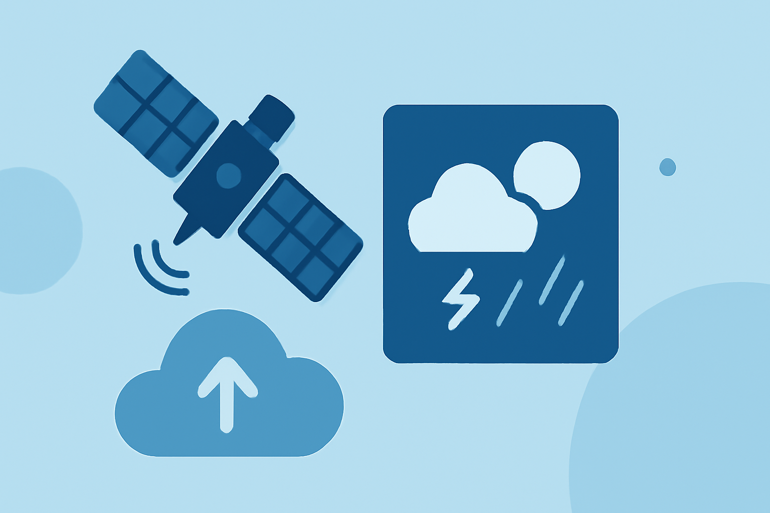
Interpreting weather satellite data is crucial for accurate forecasting and environmental monitoring. However, several common mistakes can lead to misinterpretations. Understanding and avoiding these errors is essential for effective analysis.
1. Confusing Resolution Types
Satellite imagery comes with various resolution types:
- Spatial Resolution: The size of the smallest object detectable on the ground.
- Temporal Resolution: How often a satellite revisits the same location.
- Spectral Resolution: The number and width of wavelength bands captured.
- Radiometric Resolution: The number of brightness levels each pixel can distinguish.
Optimizing for one dimension while ignoring others can lead to inadequate data for specific applications. For instance, a satellite with high spatial resolution but low temporal resolution may not be suitable for monitoring rapidly changing phenomena. (offnadir-delta.com)
2. Ignoring Atmospheric Correction
Raw satellite images include atmospheric distortions caused by aerosols, water vapor, and molecular scattering. These can affect the measured signal, leading to inaccurate analyses. For example, comparing scenes from different dates with varying atmospheric conditions can produce spurious changes that aren't real. To mitigate this, use atmospherically corrected products or apply correction algorithms before analysis. (offnadir-delta.com)
3. Assuming Cloud-Free Means Analysis-Ready
Cloud-free satellite images are often assumed to be ready for analysis. However, the absence of clouds doesn't guarantee that the data is free from other issues like atmospheric distortions or sensor anomalies. It's essential to perform quality checks and corrections to ensure data reliability. (offnadir-delta.com)
4. Treating All 'Green' Pixels as Vegetation
In satellite imagery, 'green' pixels are often associated with vegetation. However, this assumption can be misleading, especially in areas with dense urbanization or other land covers that appear green. It's crucial to consider the context and use appropriate indices or classifications to accurately identify vegetation. (offnadir-delta.com)
5. Not Checking the Acquisition Date
The relevance of satellite data is time-sensitive. Using outdated imagery can lead to incorrect conclusions, especially in rapidly changing environments. Always verify the acquisition date to ensure the data's applicability to your analysis. (offnadir-delta.com)
6. Misinterpreting Fog and Low Stratus
Fog and low stratus clouds can be challenging to distinguish in satellite imagery. In visible imagery, they appear as solid white masses, while in infrared imagery, they may be nearly invisible due to similar temperatures to the ground. Understanding these characteristics is vital for accurate interpretation. (ifr-magazine.com)
7. Overlooking Anomalous Propagation (AP)
AP refers to false radar echoes caused by atmospheric conditions like temperature inversions. These can lead to erroneous precipitation measurements and should be considered when interpreting radar data. (prod-01-alb-www-noaa.woc.noaa.gov)
8. Underestimating the 'Clean-Up' Phase
Raw satellite data often requires significant pre-processing to correct for atmospheric distortions, sensor angles, and terrain elevation. Skipping this 'clean-up' phase can lead to false conclusions. Utilizing analysis-ready data can streamline this process. (skywatch.com)
9. Assuming Higher Resolution Is Always Better
While high-resolution imagery offers more detail, it also comes with trade-offs, including increased costs and larger file sizes. It's essential to match the resolution to the specific use case to balance detail and efficiency. (skywatch.com)
10. Not Considering Seasonal and Geographical Variations
Factors like snow cover, low sun angles, and aerosols can significantly affect satellite data, especially in high-latitude regions during winter. These variations can complicate data interpretation and should be accounted for in analyses. (clearsky.vision)
Conclusion
Accurate interpretation of weather satellite data is essential for reliable forecasting and environmental monitoring. By being aware of these common mistakes and implementing strategies to avoid them, analysts can enhance the quality and reliability of their findings.
Highlights:
- Why Is NOAA's Brand-New, Billion-Dollar Weather Satellite Going Blind? | Space, Published on Friday, May 25
- How Gaps in Weather Satellite Data Could Affect You | U.S. GAO, Published on Sunday, February 02