Common Mistakes to Avoid When Interpreting Precipitation Maps
Interpreting precipitation maps accurately is crucial for effective weather forecasting and planning. Misinterpretations can lead to poor decisions, especially in sectors like agriculture, event planning, and emergency management. This article explores common mistakes in reading precipitation maps and offers guidance on how to avoid them.
What Are Precipitation Maps?
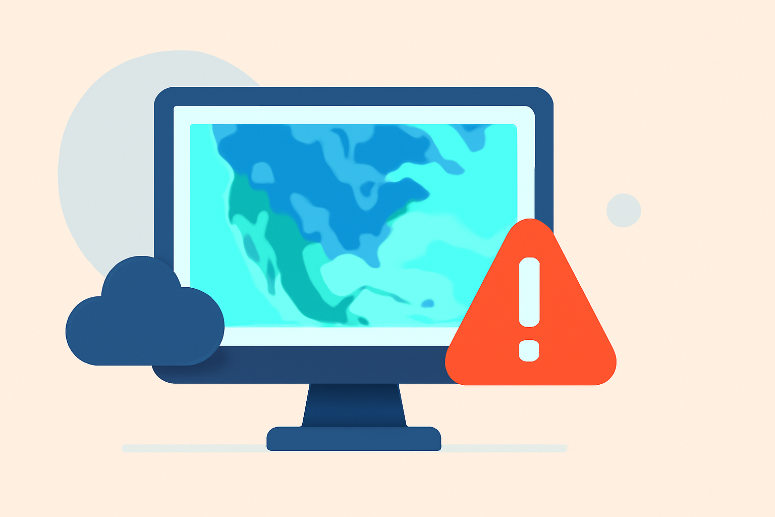
Precipitation maps visually represent the amount and distribution of precipitation—such as rain, snow, sleet, or hail—over a specific area and time period. They are essential tools for understanding weather patterns and making informed decisions.
Common Mistakes in Interpreting Precipitation Maps
1. Misunderstanding Map Scales and Legends
Each precipitation map uses a scale or legend to indicate precipitation amounts, often represented by color gradients. Misinterpreting these scales can lead to incorrect assessments of precipitation intensity. For instance, assuming that a dark red color always indicates heavy rainfall without considering the specific scale used can be misleading.
How to Avoid This Mistake:
-
Always Check the Legend: Before interpreting the map, familiarize yourself with the color scale and corresponding precipitation amounts.
-
Understand the Units: Ensure you know whether the map uses inches, millimeters, or other units for precipitation.
2. Overlooking Temporal and Spatial Resolution
Precipitation maps vary in temporal and spatial resolution. Some maps show cumulative precipitation over a day, while others display hourly data. Similarly, spatial resolution can range from local to regional scales. Ignoring these differences can result in misinterpretations.
How to Avoid This Mistake:
-
Verify Time Frames: Check the time period the map covers to ensure it aligns with your planning needs.
-
Assess Spatial Coverage: Consider whether the map's spatial resolution is appropriate for your area of interest.
3. Confusing Precipitation Types
Some maps combine different types of precipitation, such as rain and snow, into a single category. This can be problematic, especially in regions where snow is common, as it may not accurately reflect the actual precipitation type.
How to Avoid This Mistake:
-
Look for Specific Indicators: Some maps use distinct colors or symbols to differentiate between precipitation types.
-
Consult Multiple Sources: Cross-reference with other maps or data sources that specify precipitation types.
4. Ignoring Local Topography
Local geographical features, such as mountains and valleys, can significantly influence precipitation patterns. Maps that do not account for these features may provide an inaccurate representation of expected precipitation.
How to Avoid This Mistake:
-
Use Topographically Adjusted Maps: Seek maps that incorporate local terrain to provide a more accurate depiction of precipitation.
-
Understand Local Climate Influences: Be aware of how local geography affects weather patterns in your area.
5. Relying Solely on Model Outputs
Many precipitation maps are generated using weather models that have inherent uncertainties. Relying exclusively on these models without considering observational data can lead to inaccuracies.
How to Avoid This Mistake:
-
Incorporate Observational Data: Use maps that combine model outputs with real-time observational data for a more accurate forecast.
-
Understand Model Limitations: Be aware of the strengths and weaknesses of the models used to generate the maps.
Best Practices for Accurate Interpretation
-
Cross-Reference Multiple Sources: Consult various maps and data sources to get a comprehensive understanding of expected precipitation.
-
Stay Updated: Weather conditions can change rapidly; ensure you have the most current information.
-
Consult Experts: When in doubt, seek guidance from meteorologists or other weather professionals.
How Clime Enhances Precipitation Map Interpretation
Clime offers advanced weather mapping tools that integrate high-resolution data, real-time observations, and user-friendly interfaces. These features help users accurately interpret precipitation patterns, leading to better decision-making.
Conclusion
Accurate interpretation of precipitation maps is vital for effective weather forecasting and planning. By understanding common pitfalls and following best practices, you can enhance your ability to make informed decisions based on precipitation data.
Highlights:
- Accuracy Considerations - meteoblue
- Why Do Precipitation Maps for the Same Date and Area Differ? | CropWatch | Nebraska, Published on Wednesday, June 27
- How seriously should we take social media snowfall maps? - The Washington Post, Published on Tuesday, January 26