
Common Mistakes to Avoid When Interpreting Weather Radar Maps
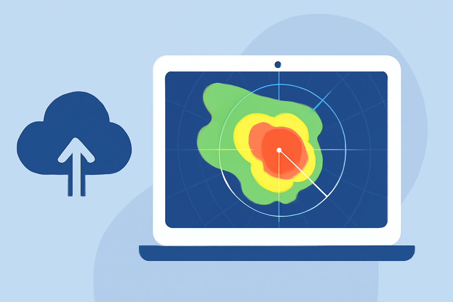
Weather radar maps are invaluable tools for monitoring precipitation and storm activity. However, misinterpretations can lead to incorrect conclusions and decisions. Understanding common mistakes and how to avoid them is essential for accurate weather analysis.
What Are Common Misinterpretations of Weather Radar Maps?
1. Confusing Ground Clutter with Precipitation
Radar beams can reflect off stationary objects like buildings, mountains, or trees, creating false echoes known as ground clutter. These echoes can mimic precipitation, leading to inaccurate readings. For instance, in areas with significant terrain, ground clutter can obscure actual precipitation patterns. (bom.gov.au)
2. Overlooking Anomalous Propagation (AP)
AP occurs when atmospheric conditions cause the radar beam to bend, leading to false echoes. This phenomenon can result in the radar detecting precipitation that isn't reaching the ground or missing precipitation that is. Recognizing AP is crucial to avoid misinterpretation. (prod-01-alb-www-noaa.woc.noaa.gov)
3. Misinterpreting Range Folding
Range folding happens when the radar beam detects a distant storm cell after the next pulse, placing the echo in the wrong location. This can create phantom storms on the radar map, leading to confusion. Being aware of this effect helps in accurate storm tracking. (theweathernetwork.com)
4. Ignoring Beam Obstructions
Tall structures or mountains can block the radar beam, resulting in incomplete coverage in certain areas. This obstruction can cause the radar to miss precipitation or storm activity, leading to gaps in the data. Considering potential beam obstructions is vital for comprehensive weather analysis. (stvincenttimes.com)
5. Relying on Single Radar Scans
Weather conditions can change rapidly. Relying on a single radar scan without considering the movement and development of weather systems over time can lead to misinterpretations. It's essential to analyze multiple scans to understand the progression of weather events. (chaseday.com)
How Can Clime Enhance Your Weather Radar Experience?
Clime offers advanced weather radar features designed to minimize common interpretation errors. Its high-resolution radar provides real-time updates, allowing users to monitor precipitation and storm activity accurately. The platform's intuitive interface helps in distinguishing between actual weather events and anomalies like ground clutter or AP. Additionally, Clime's integration of multiple data sources ensures comprehensive coverage, reducing the impact of beam obstructions. By leveraging Clime's tools, users can make informed decisions based on precise weather information.
What Are the Limitations of Weather Radar Maps?
While weather radar maps are powerful tools, they have limitations. They may not detect precipitation that doesn't reach the ground, such as virga, or accurately represent the intensity of light precipitation. Understanding these limitations is crucial for interpreting radar data effectively. (bom.gov.au)
How Can You Improve Your Interpretation of Weather Radar Maps?
- Stay Updated: Regularly check for updates and new features in your weather radar tool.
- Understand the Technology: Familiarize yourself with how radar works and its limitations.
- Cross-Reference Data: Use multiple sources, such as satellite imagery and ground observations, to validate radar data.
- Seek Training: Consider courses or tutorials on meteorology and radar interpretation.
By being aware of these common mistakes and utilizing tools like Clime, you can enhance your ability to interpret weather radar maps accurately, leading to better-informed decisions.