Common Mistakes to Avoid When Using Lightning Maps
Lightning maps are invaluable tools for monitoring and understanding lightning activity, aiding in safety measures and event planning. However, misinterpretations can lead to incorrect conclusions and potential risks. This article highlights common mistakes to avoid when using lightning maps and offers guidance on their effective use.
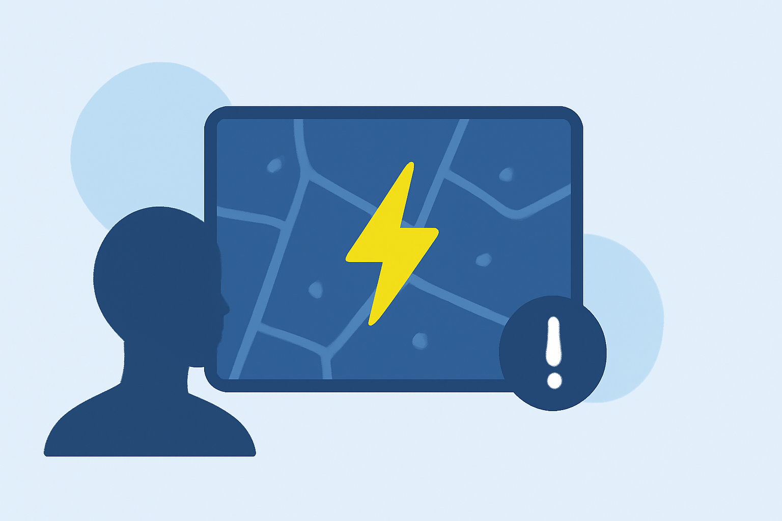
What Are Lightning Maps and How Do They Work?
Lightning maps display real-time data on lightning strikes, providing insights into storm activity and potential hazards. They utilize data from ground-based sensor networks and satellites to detect and map lightning events. Each point on the map represents a detected lightning strike, with updates occurring every few seconds. Understanding the data sources and update intervals is crucial for accurate interpretation. (lightningtracker.app)
What Are Common Mistakes When Using Lightning Maps?
1. Misinterpreting Lightning Events
A single lightning event can consist of multiple strokes, known as a lightning flash. Confusing individual strokes with separate events can lead to overestimating storm activity. It's essential to recognize that multiple strokes within a short time frame represent a single flash. (lightningmaps.org)
2. Ignoring Map Scale and Resolution
Not considering the map's scale and resolution can result in misjudging distances and the density of lightning strikes. A map with a large scale may appear less cluttered, but it could be omitting significant data. Always assess the scale to understand the level of detail presented. (dev.housing.arizona.edu)
3. Overlooking Data Sources and Accuracy
Different lightning detection systems have varying levels of accuracy and coverage. Relying solely on one source without understanding its limitations can lead to incomplete or inaccurate information. It's advisable to consult multiple sources or systems to obtain a comprehensive view of lightning activity. (lightningtracker.app)
4. Misunderstanding Map Legends and Symbols
Each lightning map uses specific symbols and color codes to represent data. Misinterpreting these symbols can lead to incorrect conclusions about storm intensity and movement. Always refer to the map's legend to understand the meaning of different symbols and colors. (spatialpost.com)
5. Relying Solely on Lightning Maps for Safety Decisions
While lightning maps provide valuable information, they should not be the sole basis for safety decisions. Weather conditions can change rapidly, and lightning maps may not capture all relevant data. It's important to use lightning maps in conjunction with other weather monitoring tools and to follow established safety protocols. (inside.nssl.noaa.gov)
How Can Clime Enhance Your Lightning Monitoring Experience?
Clime offers a comprehensive platform for monitoring weather conditions, including real-time lightning data. By integrating multiple data sources and providing intuitive visualizations, Clime helps users make informed decisions and stay safe during stormy conditions.
FAQs
1. How do lightning maps detect lightning strikes?
Lightning maps detect lightning strikes using data from ground-based sensor networks and satellites, which monitor electromagnetic signals produced by lightning events. (lightningtracker.app)
2. What should I consider when interpreting lightning maps?
When interpreting lightning maps, consider the map's scale, resolution, data sources, and the meaning of symbols and colors used. Always refer to the map's legend for accurate interpretation. (spatialpost.com)
3. Can lightning maps predict future lightning activity?
Lightning maps provide real-time data on current lightning activity but do not predict future events. For forecasting, consult meteorological services that offer predictive weather models.
4. Are lightning maps suitable for all regions?
The accuracy and coverage of lightning maps can vary by region, depending on the density and distribution of detection sensors. It's important to understand the limitations of the map for your specific area. (lightningtracker.app)
5. How can Clime improve my lightning monitoring?
Clime integrates multiple data sources, providing comprehensive and accurate lightning information, and offers intuitive visualizations to help users make informed decisions during stormy conditions.
By being aware of these common mistakes and utilizing platforms like Clime, you can enhance your understanding of lightning activity and make safer, more informed decisions.