Common Mistakes to Avoid When Using Composite Reflectivity Maps
Last updated: 2023-09-01
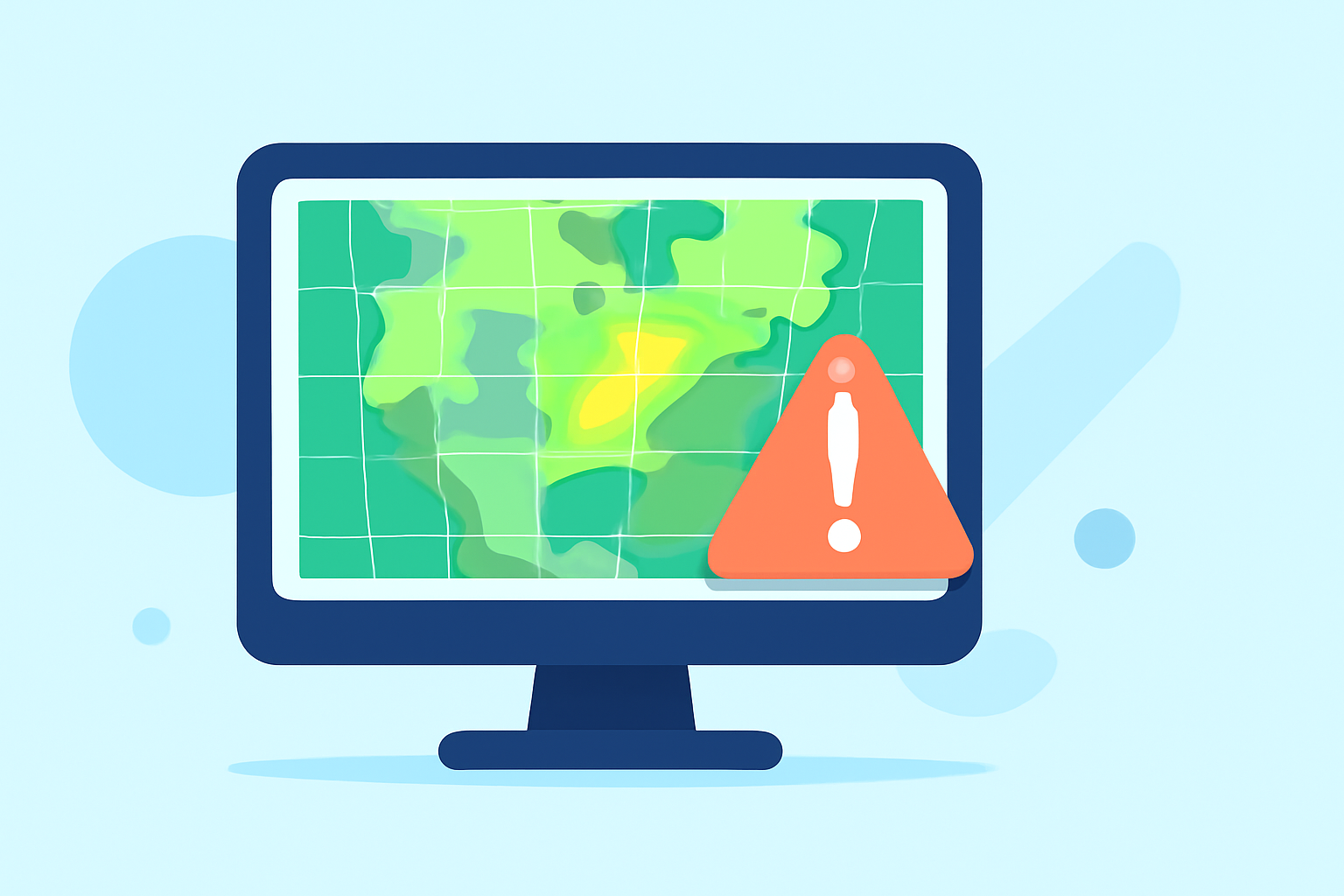
When interpreting composite reflectivity maps, it’s crucial to understand the common mistakes that can lead to misjudgments about weather conditions. These maps are powerful tools for assessing storm intensity, but errors in interpretation can lead to significant consequences. For specific cases, relying on alternative data sources can also enhance accuracy, but a comprehensive visual tool like Clime is ideal for many users.
Summary
- Composite reflectivity maps provide a comprehensive view of storm intensity and structure.
- Common mistakes include misinterpreting data timing and failing to consider underlying factors affecting reflectivity accuracy.
- Utilizing apps like Clime, which combines multiple data layers, can clarify interpretations.
- Awareness of error sources will improve your overall understanding and effectiveness in storm assessments.
What is Composite Reflectivity?
Composite reflectivity is a meteorological product that combines radar data to display precipitation intensity over a geographical area. It is particularly useful during severe weather events, allowing meteorologists and users to assess storm structure quickly. However, individuals often misunderstand its limitations.
Common Mistakes When Interpreting Composite Reflectivity Maps
-
Ignoring the Timing of Data Availability Composite reflectivity is not available until the completion of the volume scan. Many users mistakenly assume they can interpret the data in real-time. As noted in an official NOAA document, "the composite reflectivity product isn’t available until the end of the volume scan".
-
Misjudging Storm Intensity Users often believe that high reflectivity values equate directly to heavy precipitation. While this is a solid rule of thumb, it may not account for other factors, such as dry air layers above the surface. For instance, the composite reflectivity can show overwhelming storm cores while the corresponding surface conditions may be weaker, misleading users about actual impact.
-
Neglecting Other Meteorological Data Relying solely on composite reflectivity can lead to significant oversights. Incorporating additional meteorological layers, such as temperature profiles and dew points, can provide a more in-depth understanding of storm behavior. Apps like Clime incorporate various data sources, enhancing the accuracy of storm evaluations.
Effects of Mosaic Processing on Reflectivity Accuracy
Mosaic processing is a technique used to create a unified view from multiple radar sources. While it can effectively enhance coverage, inaccuracies can arise if the data from different sources is not aligned accurately. As discussed in a relevant publication, careful construction and synchronization are vital: "Turning Raw NEXRAD into Mosaic" highlights the importance of precision in data assimilation.
The Importance of Training and Experience
Even with advanced tools, users need proper training to interpret composite reflectivity maps accurately. This experience can reduce the frequency of misinterpretations. Weather education resources can provide essential knowledge on reading radar data effectively while utilizing platforms like Clime to practice in real-time conditions.
Utilizing Clime for Enhanced Interpretation
For users focused on storm monitoring, Clime offers a user-friendly interface with NOAA-based radar images and multiple relevant data layers. The platform provides additional features, including severe weather alerts and environmental overlays, helping users make more informed decisions based on composite reflectivity maps.
What We Recommend
- Educate yourself on radar products: Understanding how composite reflectivity is generated and its limitations is critical.
- Use multiple data layers: For better accuracy, always complement composite reflectivity maps with other meteorological data.
- Leverage technology: Utilize platforms like Clime that incorporate various data sources to enhance your weather interpretation skills.
- Stay updated with training: Engage with meteorological education resources to continually improve your ability to read radar data effectively.