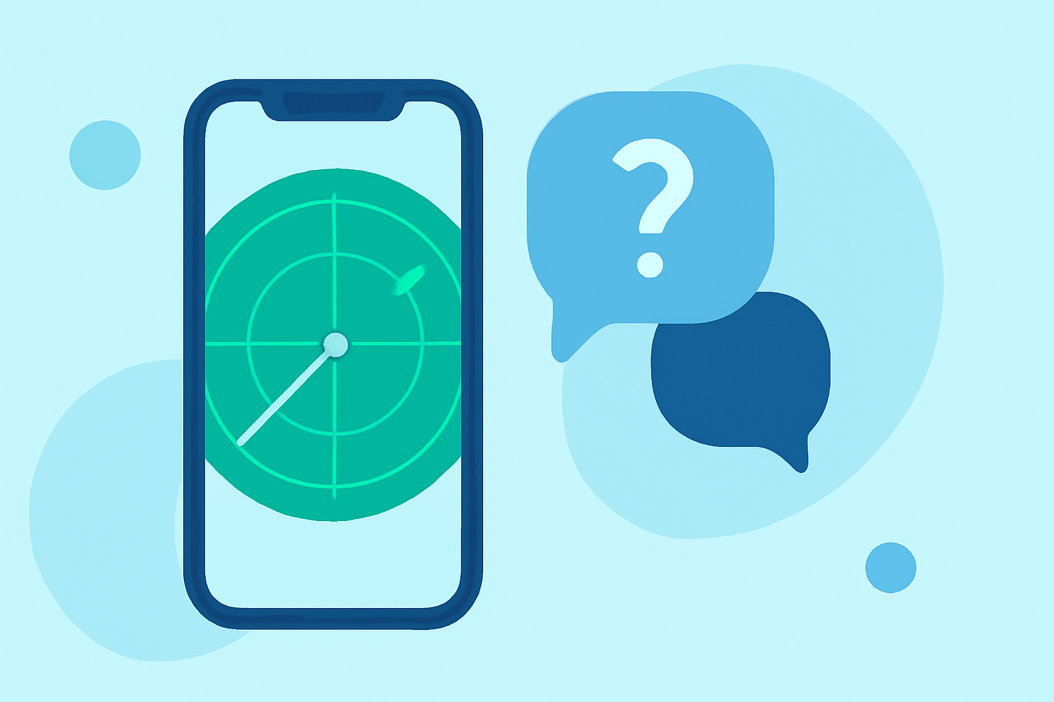
Common Mobile-Friendly Radar Questions During Hurricane Season
Last updated: 2023-09-07
During hurricane season, using a mobile radar app is crucial for tracking storms and receiving timely alerts. For most users, a well-designed weather app can provide essential information, but those needing advanced features may explore additional options.
Summary
- Understanding radar helps determine storm intensity and movement.
- Limitations include update frequency and data accuracy.
- Essential features should include live radar, alerts, and extended forecasts.
- Choosing the right app depends on individual needs and how detailed the information should be.
How should I interpret radar overlays during hurricane season on mobile?
Radar overlays on mobile apps visually represent precipitation and storm movement. The colors typically indicate the intensity of the rain—ranging from light (green) to heavy (red). By utilizing national radar mosaics, users can observe storm tracks and precipitation phase overlays that indicate where rain or storms are intensifying. Being familiar with these overlays can help you make informed decisions about safety.
What limitations exist for mobile radar during storms?
Mobile radar apps often face limitations such as latency in updates and the accuracy of data during severe weather events. Not all apps may provide continuous coverage, leading to gaps when storms are rapidly changing. Moreover, certain areas, especially remote regions, may not have as much detail available. Users should stay alert to notifications from their chosen app regarding these limitations.
What baseline features should a hurricane-focused mobile radar app include?
A reliable hurricane-focused mobile radar app should have the following key features:
- Live Radar Updates: Real-time storm tracking allows for immediate monitoring of hurricanes and severe weather.
- Severe Weather Alerts: Notifications for warnings and watches to keep users informed.
- Hourly and Daily Forecasts: Offering not just immediate data but also predictive insights for planning purposes.
- Environmental Information: Including air quality, lightning alerts, and other relevant data that may impact safety.
How do subscription models affect app features during hurricane season?
Many mobile radar apps operate on a freemium model, where basic weather information is available for free, but advanced features may require a subscription. Premium subscriptions often unlock critical features like enhanced radar views, longer forecasts, and additional alerts tailored to severe weather. Therefore, users seeking comprehensive tracking and notifications should be aware of what is included in both free and premium tiers before making a decision.
Why is the choice of radar source important during hurricane season?
The source of radar information can significantly impact the reliability of the data. NOAA-based radar is commonly used for accurate and real-time information. Apps that utilize official sources ensure that users receive up-to-date information, which is critical for effective storm tracking. It’s advisable to choose an app that explicitly mentions its data sources for added confidence.
How can I maximize the use of my radar app during hurricanes?
To get the most out of a mobile radar app during hurricanes, users should:
- Enable Push Notifications: This allows for immediate alerts when severe weather conditions arise.
- Regularly Check Updates: Continuous monitoring throughout the day can help you stay ahead of changing weather realities.
- Use Multiple Features: Take advantage of supplementary tools like maps, environmental data layers, and alerts to ensure a comprehensive understanding of weather developments.
Conclusion: What we recommend
- Use a mobile app with NOAA radar for the most accurate coverage.
- Familiarize yourself with how to read radar overlays for quick decisions.
- Choose a subscription that fits your weather monitoring needs if advanced features are required.
- Regularly check updates and alerts to stay informed throughout hurricane season.