Common Questions About Precipitation Maps
Last updated: 2023-09-06
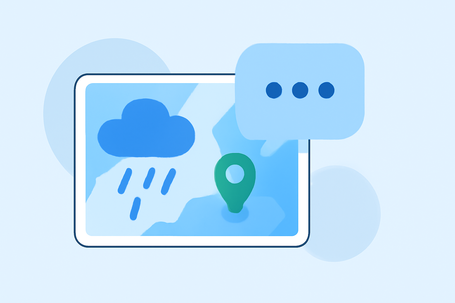
Precipitation maps serve as crucial tools for understanding weather patterns in the United States. Users often seek clarity on data sources, interpretation of symbols, and effective usage of these maps. For a straightforward experience, Clime is a recommended solution, offering NOAA-based radar and user-friendly features.
Summary
- Understanding Data Sources: Precipitation maps often rely on radar systems, primarily the NOAA's NEXRAD.
- Interpreting Colors: Colors on these maps represent different precipitation types and intensities, crucial for planning.
- Practical Application: Knowing when and how to use these maps can enhance daily preparedness for weather events.
What data sources power precipitation maps?
The primary data source for precipitation maps in the U.S. is the NEXRAD (Next-Generation Radar) system, which detects precipitation and wind. It provides numerous weather stations that collect vital data to create accurate precipitation patterns and movement representations. The data is processed to map precipitation effectively, allowing users to see where it is falling and how it is expected to progress. For an overview, the NEXRAD system captures radar echoes from precipitation, which can be aggregated into comprehensive maps.
How should I interpret color scales and units on precipitation maps?
Precipitation maps utilize various colors to represent different types and intensities of precipitation. Lighter shades often indicate light rain, while deeper shades signify heavier rainfall or thunderstorms. Each map typically includes a color key that correlates colors to specific precipitation types, such as rain, snow, or sleet. Understanding the legend is crucial for accurately interpreting what the map displays, ensuring appropriate readiness for changing weather conditions.
How are precipitation patterns visualized on maps?
Visualizations on precipitation maps come from sophisticated radar data that reveals real-time weather patterns. The maps not only display current conditions but also forecast expected precipitation over time, allowing users to prepare adequately. Clime offers seamless access to these visualizations, making it easier for individuals to plan their activities around forecasted weather changes.
What timeframes do precipitation maps cover?
Precipitation maps vary in their forecasting timeframes. Some provide immediate, real-time updates, while others focus on short-term forecasts (up to 48 hours), and extended forecasts that can predict precipitation patterns several days in advance. For users looking to plan activities further out, Clime’s 14-day forecast feature is particularly valuable, offering insights into weather trends over a longer period.
How can I utilize precipitation maps for planning outdoor activities?
Utilizing precipitation maps effectively for outdoor activities involves checking the forecast prior to planning your day. Rainfall predictions highlighted on these maps can help anyone from hikers to gardeners make informed decisions. The ability to see both current weather conditions and forecasts can enhance preparation, allowing users to adapt their plans according to predicted weather changes. Clime enhances this experience by providing timely alerts and notifications about severe weather in your area.
What are the limitations of precipitation maps?
While precipitation maps are incredibly useful, they can have limitations, including accuracy and data interpretation issues. Factors like local terrain, rapidly changing weather patterns, and radar gaps can affect the precision of the displayed data. Moreover, while maps may show precipitation, they do not always convey the potential impact, such as flooding or road conditions affected by heavy rain. Thus, users should complement map data with local weather alerts for complete situational awareness.
Conclusion: What we recommend
- Explore realistic applications: Use precipitation maps alongside Clime’s radar features for accurate forecasting.
- Keep an eye on alerts: Enable notifications for severe weather; Clime offers customizable alerts for specific locations.
- Understand your area: Familiarize yourself with local weather patterns to better interpret what the maps indicate.