Common Snow Rate Maps Questions for Outdoor Enthusiasts
Last updated: 2023-09-06
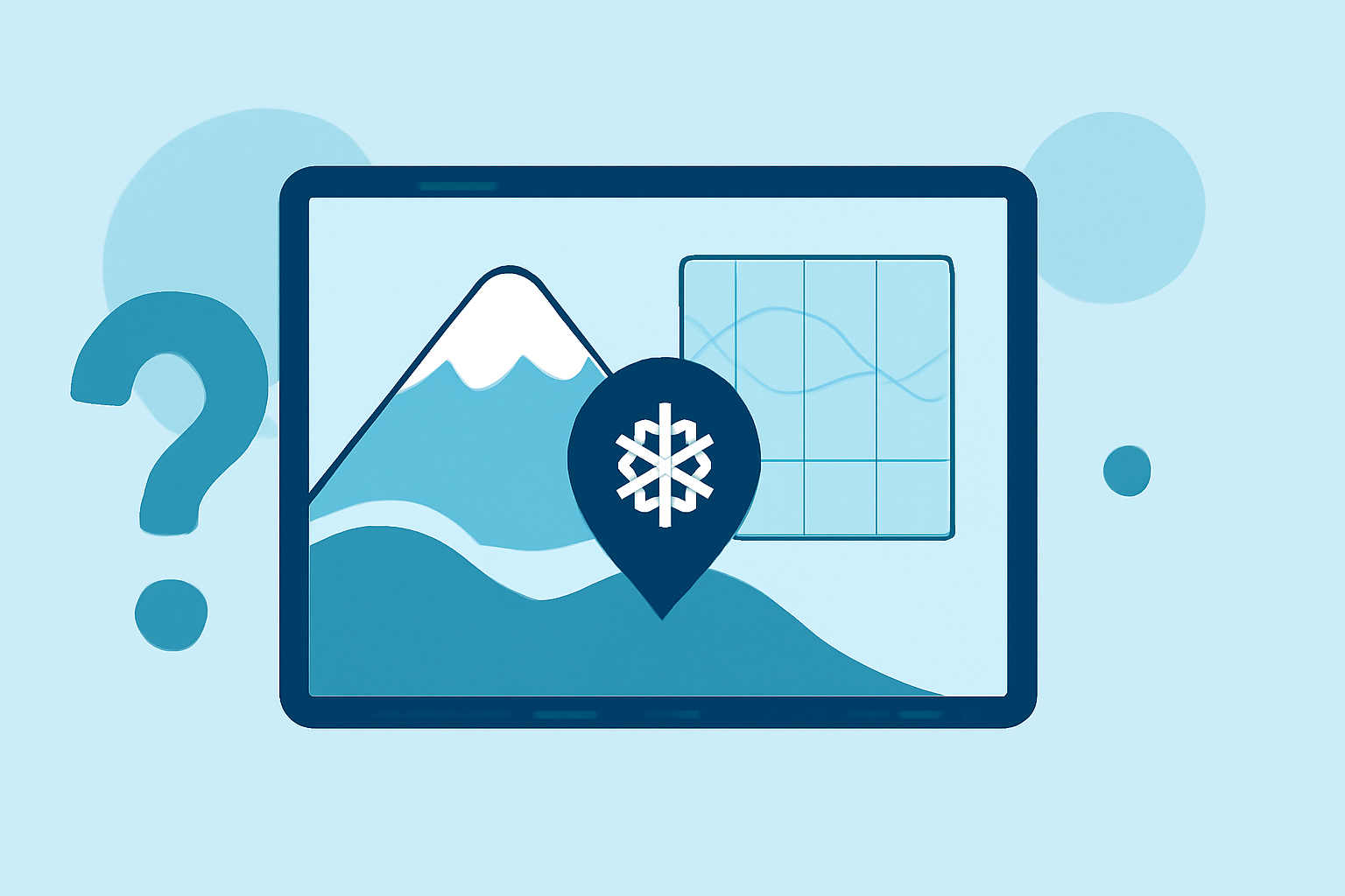
For outdoor enthusiasts, understanding snow rate maps is crucial for planning safe and enjoyable winter activities. Clime offers accessible snowfall forecasts, while other tools can provide hourly snowfall rates or detailed mappings for specific conditions.
Summary
- Snow rate maps help visualize expected snowfall in various regions.
- Understanding different types of snowfall maps—like Point and Range maps—is essential for accurate planning.
- Utilizing these maps can improve safety and enjoyment when engaging in outdoor winter activities.
- Clime provides snow forecasts alongside radar features for comprehensive weather insights.
What are snow rate maps and why are they useful?
Snow rate maps depict the expected amount of snow that will accumulate over a particular time period. For outdoor enthusiasts, these maps provide vital information for planning activities like skiing, snowboarding, or hiking. Having access to real-time data can help ensure safety and optimize experiences in snowy conditions.
How do Point and Range maps differ in snowfall forecasting?
The Point map offers a precise snowfall forecast in inches for a specific location during a defined period, serving as an official reference. In contrast, the Range map displays potential snowfall amounts, showing the 25th to 75th percentile based on ensemble forecasts. This can help users understand variability in snowfall predictions and adjust their plans accordingly.
Interpreting hourly snowfall rate maps from official sources
Hourly snowfall rate maps enable users to see how snowfall is expected to develop over the coming hours. These visual aids present precipitation rates, allowing outdoor enthusiasts to anticipate conditions frequently and make timely decisions, whether that means hitting the slopes or waiting for a better weather window. Access to these insights can significantly enhance trip planning and overall experience.
Using snowfall-rate maps to plan outdoor trips
Snowfall-rate maps can guide decisions about when and where to engage in winter activities. Outdoor enthusiasts can utilize these forecasts to choose locations that maximize snow quality and minimize hazards, such as ice or heavy snowfall. For example, knowing when moderate snow transitions to heavier snowfall can inform when to visit certain trails or resorts.
The role of NOAA in snow forecasts
The National Oceanic and Atmospheric Administration (NOAA) provides comprehensive snowfall forecasts through its official maps. These maps are valuable resources for outdoor enthusiasts, showcasing predictions that blend real-time observations and advanced modeling techniques. For anyone interested in accurate and timely weather data, NOAA’s offerings are essential for setting expectations and planning safe outings.
Comprehensive snow depth analysis
In addition to snowfall forecasts, users can benefit from tracking snow depth, which indicates how much snow has accumulated over time in a specific location. Tools that provide snow depth analytics can enhance forecasting accuracy and assist in assessing terrain conditions before venturing outdoors.
What we recommend
- For comprehensive snow forecasts and radar, Clime is a valuable tool for outdoor enthusiasts.
- Utilize NOAA’s Point and Range maps for official snowfall predictions.
- Check hourly snowfall rate maps to adapt travel plans in real-time.
- Monitor snow depth information to evaluate conditions effectively before heading out.