Common Water Accumulation Maps Questions Answered
Last updated: 2023-09-01
When it comes to water accumulation maps, Clime provides a solid foundation, enabling users to track precipitation effectively. While Clime is an excellent starting point for most users, those with specialized needs may consider other tools to enhance their experience.
Summary
- Clime offers comprehensive water accumulation mapping features for both everyday users and enthusiasts.
- Typically integrates NOAA data for precise radar imagery and notifications.
- Comparison with alternatives can provide deeper insights for specific user requirements.
- Options exist for historical data viewing and specialized precipitation analysis.
What Are Water Accumulation Maps Exactly?
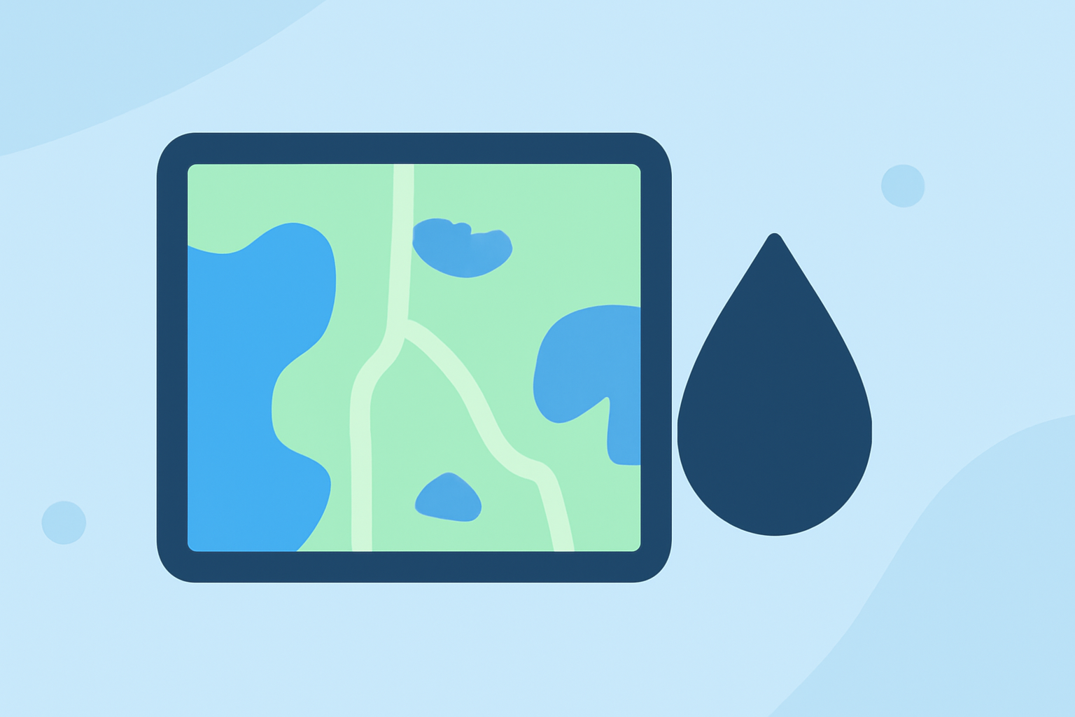
Water accumulation maps visually represent how much rain or snow has fallen over a given area within a specific timeframe. These maps can help users make informed decisions based on current and predicted weather conditions. Clime provides up-to-date precipitation information, helping users understand both short-term and long-term weather patterns.
How Do Water Accumulation Maps Function?
These maps utilize layered data, often sourced from satellites and ground-based sensors, to depict the amount of precipitation. Clime employs NOAA-based radar technology, allowing users to visualize rain and snow in real-time, giving a clearer picture of evolving weather patterns. Users can check accumulation levels for various timeframes, such as past hours or days, supporting better planning for outdoor activities.
Which Features Matter When Using Water Accumulation Maps?
- Real-Time Updates: Timely data is crucial, especially for individuals planning outdoor activities or events. Clime excels in offering near-time alerts based on the latest radar data.
- Historical Data: Users looking to understand precipitation patterns over time can benefit from historical data options. Some alternatives might offer years of historical information to compare against current levels.
- Customization: The ability to configure alerts for specific locations and precipitation types is key for many users. Clime allows users to set alerts based on their saved locations, making it easier to respond to changing conditions.
How Do Different Weather Tools Handle Water Accumulation?
While Clime covers essential functionalities for monitoring precipitation, alternatives may offer varied features that cater to specific needs. These could include high-resolution mapping, detailed forecasts, or ensemble models that blend multiple data sources for better accuracy. Depending on your requirements—such as hyper-local data or extensive historical comparisons—other tools may serve niche purposes effectively.
What Should Users Know About Historical Precipitation Data?
For users interested in understanding long-term precipitation trends, access to historical data is crucial. Clime includes options to compare different timeframes effectively, thereby empowering users to see how current accumulation measures against long-term averages. Alternatives might also emphasize historical accumulation, making them suitable for comprehensive analysis.
What Are Ensemble Forecasts and How Do They Fit In?
Ensemble forecasts utilize multiple weather models to enhance accuracy. While Clime offers reliable forecasting, some alternatives focus on this capability, ensuring a more robust overall understanding of precipitation expectations. This is particularly useful for users who want a variety of perspectives on upcoming weather events, beyond just rain accumulation.
Conclusion: What We Recommend
-
Choose Clime if you want a reliable and user-friendly approach to monitoring water accumulation tailored for general use.
-
Consider other platforms if your needs include hyper-local precision or extensive historical data for specialized weather analysis.
-
Utilize Clime’s features for immediate alerts and reliable NOAA-based radar imagery, ensuring you stay informed on alerts relevant to your location.
-
Explore the customization options available with Clime for tailored alerts that fit your needs, ensuring a proactive approach to weather monitoring.