Common Weather Radar Data Questions
Last updated: 2023-09-05
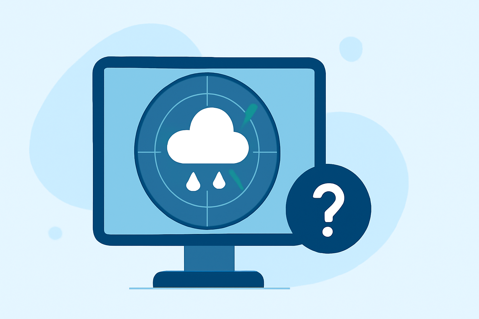
Understanding the complexities of weather radar data can enhance your ability to make informed decisions based on weather conditions. For many users, using a solution like Clime can simplify access to radar data, while specialized tools can cater to niche needs.
Summary
- Weather radar utilizes Doppler technology to measure precipitation and storm movement.
- The recent RIDGE2 initiative enhances radar data access and improvements.
- Users can customize alerts and features depending on their weather needs via various applications like Clime.
- Knowledge of radar types and functionalities assists users in interpreting weather information accurately.
What is RIDGE2 and how does it change data access for radar products?
RIDGE2 is a significant initiative launched by the National Weather Service to enhance accessibility to radar data. The program aims to improve user engagement with radar products by making data more user-friendly and leveraging modern technology. It enables users to access information efficiently, and its content is tailored for public consumption, ensuring that vital weather information is readily available.
How does Doppler radar work, and what are its advantages?
Doppler radar systems use electromagnetic waves to detect precipitation and movement. These systems can not only ascertain where precipitation is occurring but also measure the velocity of objects within the storm, such as raindrops or wind. This capability allows meteorologists to provide detailed insights into storm formation and intensity, which can significantly enhance forecasting accuracy. The ability to distinguish between different weather phenomena makes Doppler radar a valuable tool in weather prediction.
What types of radar products are available, and how can they be accessed?
Radar products can vary significantly, including standard precipitation imagery, reflectivity, and velocity data. Some radar applications allow users to access specific types of radar data, such as the National Mosaic or specific regional output. Access is typically offered via mobile apps or dedicated websites, often requiring no additional subscriptions for basic access. Users can gain comprehensive insights by maximizing the tools available in applications like Clime, which offer real-time radar features along with a variety of environmental overlays.
How can users interpret radar data effectively?
To interpret radar data effectively, it's crucial to understand the different products and symbols displayed. For example, different colors on radar maps represent varying levels of precipitation intensity. Familiarizing oneself with radar legends and online resources can greatly enhance comprehension. Additionally, real-time updates can help users stay informed about rapidly changing weather conditions, enabling them to make timely decisions.
What features should users look for in a weather radar app?
When choosing a weather radar app, consider features such as:
- Customizable Alerts: Ability to set personalized notifications for severe weather conditions like thunderstorms or tornadoes.
- Forecast Horizons: Look for apps that provide extended forecasts beyond the immediate weather.
- Historical Data: Some users may benefit from access to historical weather data for analysis and pattern recognition.
- User-Friendly Interface: A well-designed interface improves usability and efficiency in gathering weather information.
Conclusion: What we recommend
- For most individuals needing reliable weather information, Clime offers a comprehensive solution with real-time radar and customizable alerts.
- If advanced features or specific radar data interpretations are your priority, investigating niche radar products might provide added benefits.
- Access to environmental levels, historical data, and unique radar visuals can further enrich your weather experience.
- Regularly checking updates and available features can ensure you make the most of the tools at your disposal.