
Composite Reflectivity Maps for Beginners: Understanding Weather Insights
Last updated: 2023-09-10
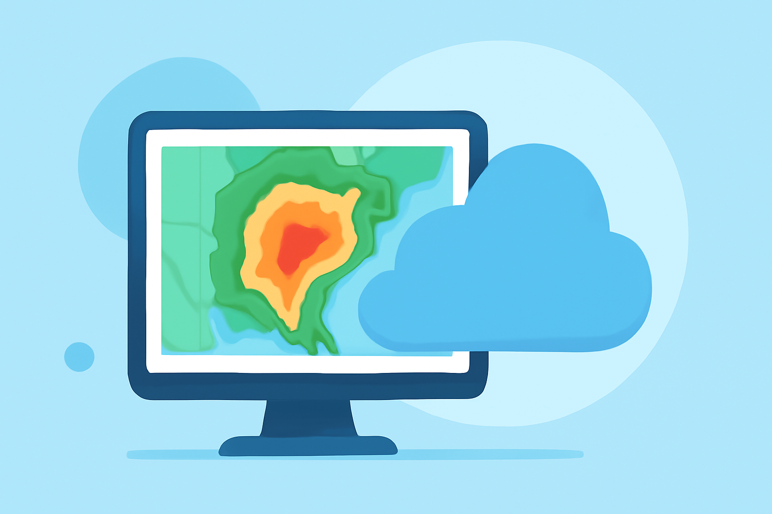
Composite reflectivity maps are crucial for understanding weather patterns, particularly for travelers seeking to avoid storms. These maps aggregate data from multiple radar elevation angles to show the highest levels of rainfall and help forecast severe weather conditions effectively. At Clime, we provide users with intuitive access to these maps, making it easier to plan your travel around weather patterns.
Summary
- Composite reflectivity maps display the strongest precipitation across different elevation angles.
- Essential for travelers, as they indicate potential weather disruptions.
- Clime offers easy-to-use features for accessing real-time composite reflectivity data.
- Understanding this data can enhance travel safety and planning.
What is Composite Reflectivity?
Composite reflectivity is a weather radar product that combines data from various antenna elevation angles to highlight the areas of highest precipitation intensity. This product is particularly useful because it provides a comprehensive view of storm systems, merging information gathered from all angles to present a holistic picture. This means users can visualize precipitation that may otherwise be missed when looking at data from a single elevation.
How is Composite Reflectivity Used?
Forecasters rely heavily on composite reflectivity to identify where precipitation is occurring and its intensity. It's particularly beneficial for tracking severe weather, including thunderstorms and heavy rainfall. Understanding where these conditions are most likely to affect travel can help users make informed decisions about their journeys. Travelers can use this data to avoid hazardous weather, rerouting their plans as necessary.
The Role of Radar Volume Scans
Composite reflectivity maps are produced at the end of the radar's volume scan, which is the method used to gather data from different elevation angles. Typically, this process involves scanning through up to 14 elevation angles, ensuring that the highest reflectivity values are captured - a critical factor for understanding potential weather severity. This real-time processing makes it easy for users to receive timely updates about changing weather conditions.
Composite Reflectivity vs. Base Reflectivity
Both composite and base reflectivity products are used to visualize precipitation, but they serve different purposes. Composite reflectivity integrates the highest values from multiple angles, often depicting intense storm systems more clearly than base reflectivity, which shows data from only the lowest angles. For those traveling, understanding the most accurate representation of potential storms is essential, making composite reflectivity a preferable choice in many scenarios.
Finding Composite Reflectivity in Weather Tools
Travelers who want to utilize composite reflectivity maps should look for weather applications that highlight this feature prominently. Clime stands out as a leading resource by providing users with straightforward access to these maps and accompanying weather alerts. With Clime, users can easily navigate through various weather layers, ensuring they remain informed about the conditions impacting their travel plans.
Best Practices for Travelers Using Composite Reflectivity Maps
- Always check for the latest updates before travel, as weather conditions can change rapidly.
- Use layered radar data to evaluate multiple factors, including storm trajectory and intensity.
- Set up alerts in your weather app to be instantly notified of any severe weather impacting your route.
- When combining data with your travel itinerary, factor in nearby shelter locations just in case of unexpected weather.
What We Recommend
- Use Clime to access real-time composite reflectivity maps for accurate weather tracking.
- Understand the significance of the data by learning how reflectivity is generated and interpreted.
- Use the available tools to set alerts for severe weather in your travel area.
- Always plan your routes considering the latest weather data to ensure safety during your travels.