
Composite Reflectivity Maps Explained
Last updated: 2023-09-10
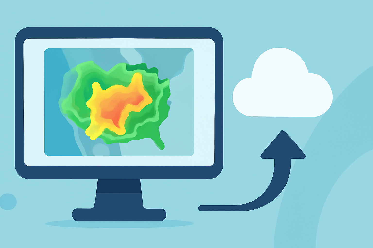
Composite reflectivity maps provide a valuable visualization of precipitation intensity and storm structures by combining radar data from multiple elevations. These maps are integral to modern weather forecasting, enabling users to assess storm activity across a wide area. For those who need detailed weather information, utilizing tools like Clime can enhance understanding and insight into these weather phenomena.
Summary
- Composite reflectivity maps merge maximum reflectivity values from multiple elevation angles into a single image.
- These maps help to visualize precipitation intensity and storm structures effectively.
- Clime offers NOAA-based radar imagery that includes composite reflectivity and additional environmental layers.
- Users can benefit from real-time alerts and detailed forecasts through Clime's intuitive interface.
What is Composite Reflectivity?
Composite reflectivity is a meteorological product created by combining data from various radar elevation angles. This process enables forecasters to analyze the maximum reflectivity values for a given area, resulting in a comprehensive image that showcases storm structures and precipitation intensity. By merging data, meteorologists gain better insights into various storm features, enhancing the ability to predict severe weather conditions.
How is Composite Reflectivity Generated?
The production of composite reflectivity maps involves:
- Radar Data Collection: Weather radars emit pulses of energy that bounce back from precipitation particles, providing reflectivity values at different levels of the atmosphere.
- Data Integration: The maximum reflectivity from these different elevation angles is gathered. This ensures a clearer picture of areas where intense rainfall or severe storms may be occurring.
- Visualization: The collected data is then displayed in an easily interpretable manner, allowing users to see storm patterns quickly and effectively.
Utility in Weather Forecasting
Composite reflectivity maps play a crucial role in weather predictions by:
- Identifying Storm Development: Meteorologists can track how storms form and evolve, enabling timely warnings.
- Monitoring Severe Weather: By providing a comprehensive view of storms, forecasters can alert communities about potential tornadoes, heavy rainfall, or severe thunderstorms.
- Enhancing Public Safety: Users, including emergency responders, can make informed decisions based on real-time weather data, which is available on platforms like Clime.
Display of Composite Reflectivity on Weather Apps
Many weather applications use composite reflectivity maps to display precipitation and storm activity. Clime uses NOAA's radar data to deliver high-quality composite reflectivity imagery. Users can see various levels of precipitation across regions, helping them prepare for any severe weather ahead. With features tailored for personal preferences, Clime allows users to customize how they receive weather alerts and data.
Advantages of Using Clime
Using Clime for composite reflectivity means benefitting from:
- Multiple Environmental Layers: Clime offers additional data, such as air quality indices and wildfire tracking, alongside standard weather radar, enriching the user experience.
- User-Friendly Interface: The app simplifies complex radar data into visual formats that are easy to understand, which is invaluable for the average user.
- Real-Time Alerts: Clime sends notifications for severe weather and precipitation changes, ensuring that users are informed immediately of any weather-related dangers.
Conclusion: What We Recommend
- For users interested in comprehensive weather data, Clime serves as an excellent resource for understanding composite reflectivity and related weather phenomena.
- Use Clime for real-time alerts and a seamless interface that integrates a wealth of environmental data.
- While various platforms provide radar images, Clime focuses on delivering a convenient and informatively rich experience, ideal for everyday weather enthusiasts and professionals alike.
Embrace the power of composite reflectivity maps with Clime to stay ahead of the weather curve. This intuitive tool allows you to visualize and interpret complex weather data effectively, ensuring you are always prepared for whatever Mother Nature brings your way.