
Understanding Composite Reflectivity Maps: A Gardener's Guide
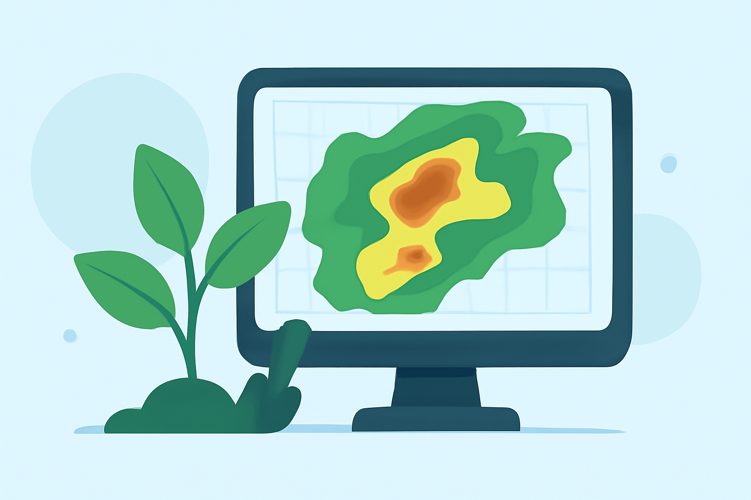
As a gardener, staying ahead of weather changes is crucial for the health and productivity of your plants. One valuable tool in this endeavor is the composite reflectivity map, a radar product that offers insights into precipitation patterns and storm development.
What Are Composite Reflectivity Maps?
Composite reflectivity maps display the highest reflectivity value from all radar elevation scans over a specific area. This means they highlight the most intense precipitation occurring at any altitude, providing a comprehensive view of storm strength and structure. Unlike base reflectivity, which shows precipitation at a single radar tilt, composite reflectivity combines data from multiple angles, offering a more complete picture of atmospheric conditions. (prod-01-alb-www-noaa.woc.noaa.gov)
How Can Composite Reflectivity Maps Benefit Gardeners?
Understanding and utilizing composite reflectivity maps can offer several advantages for gardeners:
-
Anticipate Severe Weather: By monitoring these maps, gardeners can identify areas of intense precipitation, allowing them to prepare for potential storms that could damage plants.
-
Plan Watering Schedules: Knowing when and where heavy rainfall is expected helps in adjusting irrigation plans, conserving water, and preventing overwatering.
-
Protect Sensitive Plants: Certain plants are more susceptible to damage from heavy rain or hail. Composite reflectivity maps can help gardeners take timely actions, such as providing shelter or harvesting vulnerable crops before a storm hits.
How to Access and Interpret Composite Reflectivity Maps
Composite reflectivity maps are available through various weather services and platforms. To effectively use these maps:
-
Choose a Reliable Source: Access maps from reputable weather services that offer real-time updates and accurate data.
-
Understand the Color Coding: Familiarize yourself with the color schemes used to represent different levels of precipitation intensity. Typically, darker colors indicate heavier rainfall.
-
Monitor Regularly: Check the maps frequently, especially during seasons prone to sudden weather changes, to stay informed about upcoming conditions.
Integrating Composite Reflectivity Maps into Your Gardening Routine
Incorporating composite reflectivity maps into your gardening practices can enhance your ability to respond proactively to weather events. By staying informed, you can make decisions that protect your plants and optimize their growth conditions.
Remember, while these maps are a valuable resource, they should be used in conjunction with other weather information and local observations to make the best decisions for your garden.
By leveraging composite reflectivity maps, gardeners can gain a strategic advantage in weather preparedness, leading to healthier plants and more productive harvests.