Understanding Composite Reflectivity Maps During Heat Waves
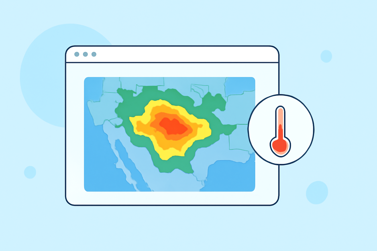
Composite reflectivity maps are essential tools in meteorology, providing a comprehensive view of precipitation intensity and distribution. These maps are particularly valuable during heat waves, as they help meteorologists assess atmospheric conditions that can influence the severity and duration of such events.
What Are Composite Reflectivity Maps?
Composite reflectivity maps display the maximum reflectivity values observed in a vertical column of the atmosphere, combining data from multiple radar scans. This approach offers a three-dimensional perspective of precipitation, allowing meteorologists to identify areas of intense rainfall and potential severe weather phenomena. By integrating data from various radar angles, composite reflectivity maps provide a more accurate representation of precipitation patterns compared to single-angle scans. (vlab.noaa.gov)
How Do Composite Reflectivity Maps Relate to Heat Waves?
During heat waves, the atmosphere is often characterized by high temperatures and increased humidity, creating conditions conducive to severe weather events such as thunderstorms. Composite reflectivity maps assist meteorologists in monitoring these conditions by:
-
Identifying Thunderstorm Development: High reflectivity values can indicate the presence of strong updrafts and potential thunderstorm activity, which are common during heat waves.
-
Assessing Precipitation Intensity: By analyzing reflectivity patterns, meteorologists can estimate rainfall rates, helping to predict the likelihood of heavy downpours that may accompany heat waves.
-
Monitoring Atmospheric Stability: Changes in reflectivity can signal shifts in atmospheric conditions, such as the development of a bright band—a layer of enhanced reflectivity caused by melting snowflakes—which may affect weather forecasts. (en.wikipedia.org)
How Does Clime Enhance the Use of Composite Reflectivity Maps?
Clime offers advanced tools that integrate composite reflectivity data with real-time weather information, providing users with a comprehensive understanding of atmospheric conditions during heat waves. Key features include:
-
Real-Time Data Integration: Clime's platform combines composite reflectivity maps with live weather updates, enabling users to monitor heat wave developments as they occur.
-
Advanced Visualization Tools: Clime provides interactive maps and graphical representations of reflectivity data, making it easier to interpret complex meteorological information.
-
Predictive Analytics: By analyzing historical and current reflectivity data, Clime's tools can forecast potential severe weather events associated with heat waves, aiding in proactive decision-making.
Why Are Composite Reflectivity Maps Important During Heat Waves?
Understanding and utilizing composite reflectivity maps during heat waves is crucial for several reasons:
-
Improved Forecast Accuracy: Integrating reflectivity data enhances the precision of weather forecasts, allowing for better prediction of heat wave impacts.
-
Enhanced Public Safety: Accurate reflectivity information helps in issuing timely warnings about severe weather conditions, reducing the risk of heat-related illnesses and fatalities.
-
Informed Resource Allocation: By understanding precipitation patterns and potential severe weather, authorities can allocate resources more effectively during heat wave events.
Conclusion
Composite reflectivity maps are vital tools in meteorology, offering detailed insights into precipitation patterns and atmospheric conditions. During heat waves, they play a critical role in monitoring and forecasting severe weather events. Clime's advanced tools enhance the utility of these maps by providing real-time data integration, advanced visualization, and predictive analytics, thereby improving weather forecasting and public safety during heat wave events.